540 Independence Dr Roebuck, SC 29376
Estimated Value: $286,000 - $453,000
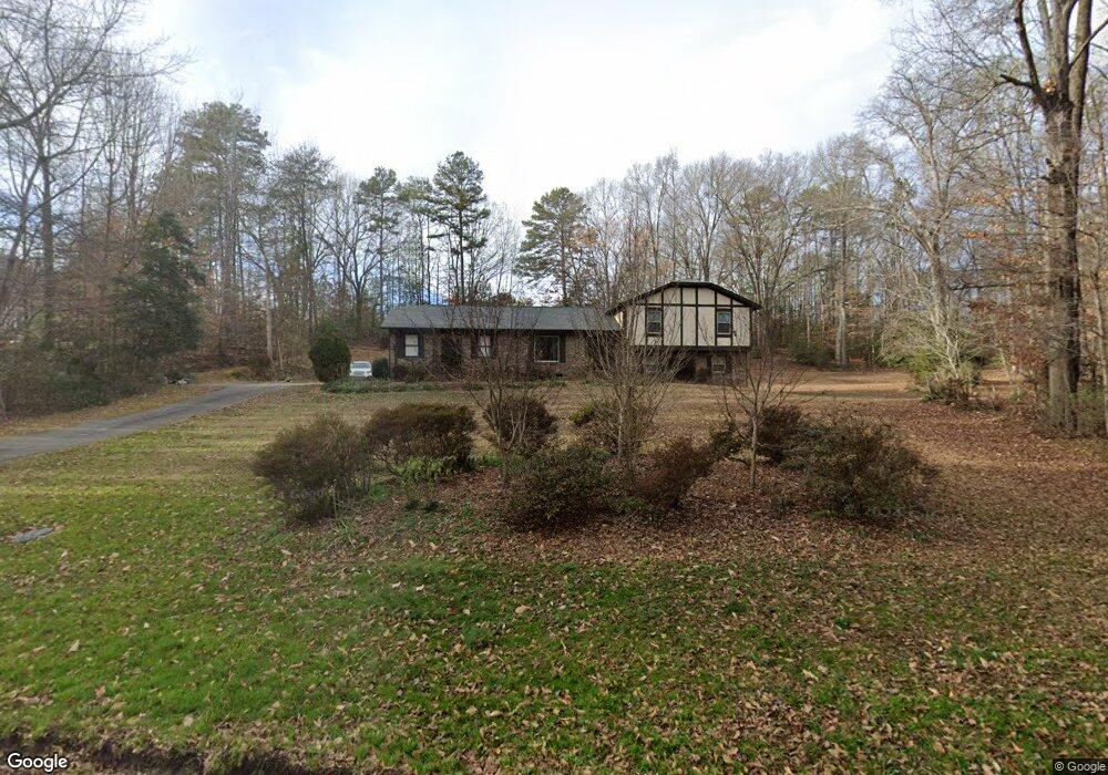
About This Home
This home is located at 540 Independence Dr, Roebuck, SC 29376 and is currently estimated at $393,572, approximately $165 per square foot. 540 Independence Dr is a home located in Spartanburg County with nearby schools including Dorman High School Freshman Campus and Dorman High School.
Ownership History
We collect this data history from publicly available records. To have your information removed, we recommend requesting removal directly through your county’s website.
Purchase Details
Home Financials for this Owner
Home Financials are based on the most recent Mortgage that was taken out on this home.Purchase Details
Home Financials for this Owner
Home Financials are based on the most recent Mortgage that was taken out on this home.Purchase History
We collect this data history from publicly available records. To have your information removed, we recommend requesting removal directly through your county’s website.
| Date | Buyer | Sale Price | Title Company |
|---|---|---|---|
| -- | None Listed On Document | ||
| -- | None Listed On Document | ||
| $420,000 | None Listed On Document |
Mortgage History
We collect this data history from publicly available records. To have your information removed, we recommend requesting removal directly through your county’s website.
| Date | Status | Borrower | Loan Amount |
|---|---|---|---|
| Open | $310,655 | ||
| Closed | $310,655 | ||
| Previous Owner | $303,000 |
Tax History
We collect this data history from publicly available records. To have your information removed, we recommend requesting removal directly through your county’s website.
| Year | Tax Paid | Tax Assessment Tax Assessment Total Assessment is a certain percentage of the fair market value that is determined by local assessors to be the total taxable value of land and additions on the property. | Land | Improvement |
|---|---|---|---|---|
| 2025 | $1,247 | $16,800 | $2,664 | $14,136 |
| 2024 | $1,247 | $6,496 | $1,124 | $5,372 |
| 2023 | $1,247 | $6,496 | $1,124 | $5,372 |
| 2022 | $1,122 | $5,649 | $1,064 | $4,585 |
| 2021 | $1,109 | $5,649 | $1,064 | $4,585 |
| 2020 | $1,082 | $5,649 | $1,064 | $4,585 |
| 2019 | $1,054 | $5,649 | $1,064 | $4,585 |
| 2018 | $1,058 | $5,649 | $1,064 | $4,585 |
| 2017 | $914 | $4,912 | $1,000 | $3,912 |
| 2016 | $935 | $4,912 | $1,000 | $3,912 |
| 2015 | $906 | $4,856 | $1,000 | $3,856 |
| 2014 | $877 | $4,856 | $1,000 | $3,856 |
Map
- 650 Independence Dr
- 335 Guernsey Ln
- 3188 Carolina Country Club Rd
- 365 Guernsey Ln
- 121 John Lancaster Rd
- 580 Chattooga Rd
- 555 Chattooga Rd
- 560 Chattooga Rd
- 543 Chattooga Rd
- 2822 Carolina Country Club Rd
- 424 Congaree Rd
- 408 Congaree Rd
- 580 Bearden Rd
- 0 Bearden Rd
- 409 Balfour Rd
- 221 Brookfield Rd
- 118 Myrna Dr
- 0000 U S 221 Hwy N
- 350 Templeton Dr
- 212 Reedy River Ct
- 550 Independence Dr
- 530 Independence Dr
- 565 Independence Dr
- 560 Independence Dr
- 520 Independence Dr
- 519 Independence Dr
- 112 Guernsey Ln
- 135 Guernsey Ln
- 125 Guernsey Ln
- 510 Independence Dr
- 509 Independence Dr
- 155 State Road S-42-2908
- 155 Guernsey Ln
- 115 Guernsey Ln
- 931 Mcabee Rd
- 599 Independence Dr
- 175 Guernsey Ln
- 941 Mcabee Rd
- 104 Guernsey Ln
- 500 Independence Dr
Ask me questions while you tour the home.