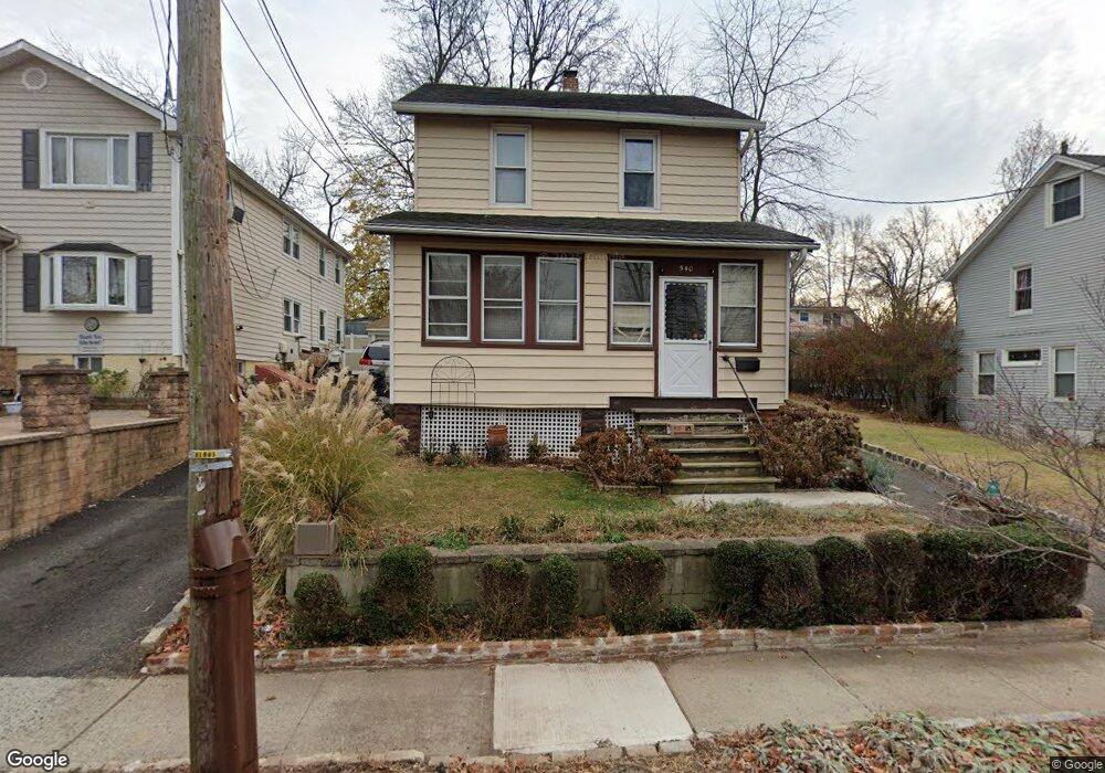
540 Locust Ave Hillside, NJ 07205
Estimated Value: $411,000 - $436,000
--
Bed
--
Bath
984
Sq Ft
$431/Sq Ft
Est. Value
About This Home
This home is located at 540 Locust Ave, Hillside, NJ 07205 and is currently estimated at $423,769, approximately $430 per square foot. 540 Locust Ave is a home located in Union County with nearby schools including Abram P. Morris-Saybrook Elementary School, Hurden Looker School, and Calvin Coolidge Elementary School.
Ownership History
Date
Name
Owned For
Owner Type
Purchase Details
Closed on
Sep 30, 2009
Sold by
K & R North Broad Llc
Bought by
Avignant Philippe
Current Estimated Value
Home Financials for this Owner
Home Financials are based on the most recent Mortgage that was taken out on this home.
Original Mortgage
$184,500
Outstanding Balance
$120,721
Interest Rate
5.12%
Mortgage Type
New Conventional
Estimated Equity
$303,048
Purchase Details
Closed on
Mar 30, 2009
Sold by
Izykowski Karen and Estate Of Frank Pagowski
Bought by
K & R North Broad Llc
Create a Home Valuation Report for This Property
The Home Valuation Report is an in-depth analysis detailing your home's value as well as a comparison with similar homes in the area
Home Values in the Area
Average Home Value in this Area
Purchase History
| Date | Buyer | Sale Price | Title Company |
|---|---|---|---|
| Avignant Philippe | $205,000 | None Available | |
| K & R North Broad Llc | $100,000 | Chicago Title Insurance Co |
Source: Public Records
Mortgage History
| Date | Status | Borrower | Loan Amount |
|---|---|---|---|
| Open | Avignant Philippe | $184,500 |
Source: Public Records
Tax History Compared to Growth
Tax History
| Year | Tax Paid | Tax Assessment Tax Assessment Total Assessment is a certain percentage of the fair market value that is determined by local assessors to be the total taxable value of land and additions on the property. | Land | Improvement |
|---|---|---|---|---|
| 2025 | $6,850 | $83,000 | $75,000 | $8,000 |
| 2024 | $6,651 | $83,000 | $75,000 | $8,000 |
| 2023 | $6,651 | $83,000 | $75,000 | $8,000 |
| 2022 | $6,589 | $83,000 | $75,000 | $8,000 |
| 2021 | $6,546 | $83,000 | $75,000 | $8,000 |
| 2020 | $6,508 | $83,000 | $75,000 | $8,000 |
| 2019 | $6,382 | $83,000 | $75,000 | $8,000 |
| 2018 | $6,318 | $83,000 | $75,000 | $8,000 |
| 2017 | $6,280 | $83,000 | $75,000 | $8,000 |
| 2016 | $6,272 | $83,000 | $75,000 | $8,000 |
| 2015 | $6,217 | $83,000 | $75,000 | $8,000 |
| 2014 | $6,119 | $83,000 | $75,000 | $8,000 |
Source: Public Records
Map
Nearby Homes
- 507 Locust Ave
- 292 Crann St
- 314 Fitzpatrick St
- 105 Liberty Ct Unit 105
- 1322 Marcella Dr
- 1393 Cornell Place
- 1375 Brookfall Ave
- 393 Harvard Ave
- 553 Harvard Ave
- 257 Herbert Ave
- 557 Yale Ave
- 537 Us Highway 22
- 525 Us Highway 22
- 542 Leo St
- 220 Silver Ave
- 1025 Sterling Rd
- 286 Mclean Place
- 169 Valley View Rd
- 149 Baltimore Ave
- 155 Silver Ave
- 536 Locust Ave
- 546 Locust Ave
- 546 Locust Ave Unit 2
- 539 Mcmichael Place
- 534 Locust Ave
- 537 Mcmichael Place
- 545 Mcmichael Place
- 533 Mcmichael Place
- 528 Locust Ave
- 535 Locust Ave
- 531 Mcmichael Place
- 526 Locust Ave
- 531 Locust Ave
- 529 Mcmichael Place
- 524 Locust Ave
- 525 Locust Ave
- 538 Mcmichael Place
- 525 Mcmichael Place
- 540 Mcmichael Place
- 536 Mcmichael Place