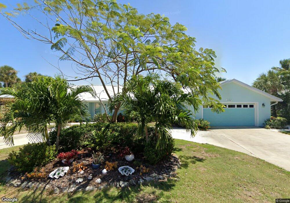
540 Milford Point Rd Merritt Island, FL 32952
Estimated Value: $916,000 - $1,232,000
4
Beds
2
Baths
2,428
Sq Ft
$434/Sq Ft
Est. Value
About This Home
This home is located at 540 Milford Point Rd, Merritt Island, FL 32952 and is currently estimated at $1,053,246, approximately $433 per square foot. 540 Milford Point Rd is a home located in Brevard County with nearby schools including Audubon Elementary School, Thomas Jefferson Middle School, and Merritt Island High School.
Ownership History
Date
Name
Owned For
Owner Type
Purchase Details
Closed on
May 12, 2017
Sold by
Smith Philip C and Smith Candice M
Bought by
Ward Benjamin N and Ward Robin L
Current Estimated Value
Home Financials for this Owner
Home Financials are based on the most recent Mortgage that was taken out on this home.
Original Mortgage
$429,300
Outstanding Balance
$357,407
Interest Rate
4.14%
Estimated Equity
$695,839
Purchase Details
Closed on
Jul 20, 2007
Sold by
Smith Philip C and Smith Candice M
Bought by
Smith Philip C and Smith Candice M
Purchase Details
Closed on
Sep 25, 2003
Sold by
Lorenzen Ruth P and Ruth P Lorenzen Family Trust
Bought by
Smith Philip C and Smith Candice M
Create a Home Valuation Report for This Property
The Home Valuation Report is an in-depth analysis detailing your home's value as well as a comparison with similar homes in the area
Home Values in the Area
Average Home Value in this Area
Purchase History
| Date | Buyer | Sale Price | Title Company |
|---|---|---|---|
| Ward Benjamin N | $550,000 | Island Title & Escrow Agency | |
| Smith Philip C | -- | None Available | |
| Smith Philip C | $375,000 | -- |
Source: Public Records
Mortgage History
| Date | Status | Borrower | Loan Amount |
|---|---|---|---|
| Open | Ward Benjamin N | $429,300 |
Source: Public Records
Tax History Compared to Growth
Tax History
| Year | Tax Paid | Tax Assessment Tax Assessment Total Assessment is a certain percentage of the fair market value that is determined by local assessors to be the total taxable value of land and additions on the property. | Land | Improvement |
|---|---|---|---|---|
| 2025 | $5,201 | $422,190 | -- | -- |
| 2024 | $5,163 | $410,300 | -- | -- |
| 2023 | $5,163 | $398,350 | $0 | $0 |
| 2022 | $4,833 | $386,750 | $0 | $0 |
| 2021 | $5,082 | $375,490 | $0 | $0 |
| 2020 | $5,040 | $370,310 | $0 | $0 |
| 2019 | $5,009 | $361,990 | $0 | $0 |
| 2018 | $4,648 | $327,940 | $0 | $0 |
| 2017 | $6,942 | $434,830 | $253,020 | $181,810 |
| 2016 | $6,610 | $391,640 | $216,260 | $175,380 |
| 2015 | $6,764 | $384,390 | $216,260 | $168,130 |
| 2014 | $6,393 | $354,960 | $216,260 | $138,700 |
Source: Public Records
Map
Nearby Homes
- 397 Milford Point Dr
- 700 Milford Point Dr
- 1668 Oceana Dr
- 1675 Oceana Dr Unit 8
- 1685 Savannah Dr
- 1646 Fisherman's St
- 1613 Dock St
- 300 Waterfront Ave
- 325 Simpson Cir
- 306 Mullet Ave
- 1585 Anchor Ln
- 1545 Cunningham Ave
- 1515 Quince Ave
- 250 N Banana River Dr
- 250 N Banana River Dr Unit G6
- 1510 Holly Ave
- 195 Treasure St Unit A4105
- 215 Buccaneer Ave Unit B3201
- 205 Buccaneer Ave Unit C1104
- 120 Mutiny Ln Unit C3208
- 560 Milford Point Dr
- 520 Milford Point Rd
- 560 Milford Point Rd
- 520 Milford Point Dr
- 545 Milford Point Dr
- 565 Milford Point Dr
- 525 Milford Point Rd
- 570 Milford Point Dr
- 500 Milford Point Rd
- 570 Milford Point Rd
- 580 Milford Point Dr
- 505 Milford Point Rd
- 575 Milford Point Dr
- 505 Milford Point Dr
- 575 Milford Point Rd
- 490 Milford Point Rd
- 590 Milford Point Dr
- 490 Milford Point Dr
- 485 Milford Point Rd
- 590 Milford Point Rd