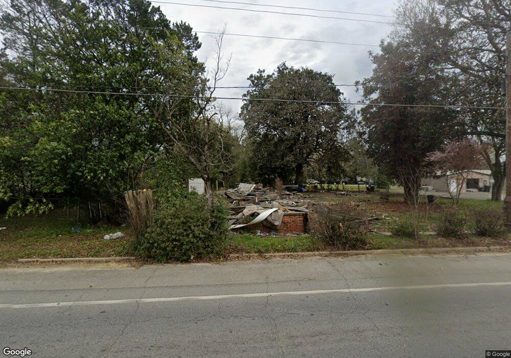
540 SW Broad St Metter, GA 30439
Estimated Value: $172,000 - $227,000
3
Beds
1
Bath
1,967
Sq Ft
$104/Sq Ft
Est. Value
About This Home
This home is located at 540 SW Broad St, Metter, GA 30439 and is currently estimated at $204,667, approximately $104 per square foot. 540 SW Broad St is a home located in Candler County with nearby schools including Metter Elementary School, Metter Intermediate School, and Metter Middle School.
Ownership History
Date
Name
Owned For
Owner Type
Purchase Details
Closed on
Mar 6, 2024
Sold by
Perry James Charles
Bought by
Lawrence Robert
Current Estimated Value
Purchase Details
Closed on
Sep 7, 2021
Sold by
Flynt Charles Milton
Bought by
James Charles Perry
Purchase Details
Closed on
Oct 3, 2008
Sold by
Flynt Ronald
Bought by
Flynt Charles
Purchase Details
Closed on
Aug 6, 2003
Sold by
Brown Lester J
Bought by
Flynt Ronald H
Purchase Details
Closed on
Jul 1, 2003
Sold by
Flynt Charles and Flynt Robert
Bought by
First National Bank & Trust Company
Purchase Details
Closed on
Sep 1, 1990
Sold by
Flynt James Cecil
Bought by
Flynt Charles and Flynt Robert
Create a Home Valuation Report for This Property
The Home Valuation Report is an in-depth analysis detailing your home's value as well as a comparison with similar homes in the area
Home Values in the Area
Average Home Value in this Area
Purchase History
| Date | Buyer | Sale Price | Title Company |
|---|---|---|---|
| Lawrence Robert | -- | -- | |
| James Charles Perry | -- | -- | |
| Flynt Charles | -- | -- | |
| Flynt Ronald H | $15,000 | -- | |
| Brown Lester J | $15,000 | -- | |
| First National Bank & Trust Company | -- | -- | |
| Flynt Charles | -- | -- |
Source: Public Records
Tax History Compared to Growth
Tax History
| Year | Tax Paid | Tax Assessment Tax Assessment Total Assessment is a certain percentage of the fair market value that is determined by local assessors to be the total taxable value of land and additions on the property. | Land | Improvement |
|---|---|---|---|---|
| 2024 | $72 | $1,831 | $1,831 | $0 |
| 2023 | $71 | $1,831 | $1,831 | $0 |
| 2022 | $668 | $11,509 | $1,831 | $9,678 |
| 2021 | $584 | $9,833 | $1,831 | $8,002 |
| 2020 | $585 | $9,833 | $1,831 | $8,002 |
| 2019 | $483 | $7,169 | $1,462 | $5,707 |
Source: Public Records
Map
Nearby Homes
- 405 Preston St
- 40 Hickory St
- 250 S Lewis St
- 295 S Lewis St
- 465 Cedar St
- 450 S Rountree St
- 365 S Leroy St
- 550 S Rountree St
- 405 S Leroy St
- 0 Central Ave Unit 10628403
- 150 W Willow Lake Dr
- 4515 Harper Rd
- 1449 Hulsey Dr
- 286 Webb Cir
- 0 Oak Tree Rd Unit (31.62 AC) 10490874
- 743 Ann's Ln
- 0 Indigo Rd Unit 10425491
- 26844 Georgia 46
- 527 Windmill Rd
- 14450 Stillmore Hwy
- 546 SW Broad St
- 544 SW Broad St
- 301 Central Ave
- S Daughtry St
- 5 S Daughtry St
- N N Register St
- 150 Aline Ave
- 120 Aline Ave
- 0 Register Way Unit 3262732
- 603 W Broad St
- 130 Aline Ave
- 8 N Register St
- 77 Aline Ave
- 605 W Broad St
- 0 Highway 23 Unit 6 8266725
- 0 Highway 23 Unit Parcel 6 8859498
- 0 Highway 23 Unit 1 8435359
- 25 High St
- 702 SW Broad St
- 45 S Register St