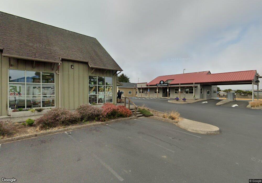
540 SW Kelsin Dr Waldport, OR 97394
Estimated Value: $483,000 - $498,387
3
Beds
2
Baths
1,551
Sq Ft
$316/Sq Ft
Est. Value
About This Home
This home is located at 540 SW Kelsin Dr, Waldport, OR 97394 and is currently estimated at $490,847, approximately $316 per square foot. 540 SW Kelsin Dr is a home located in Lincoln County with nearby schools including Crestview Heights School, Waldport High and Middle School, and Angell JCC.
Ownership History
Date
Name
Owned For
Owner Type
Purchase Details
Closed on
Apr 22, 2022
Sold by
Borchard Roger A
Bought by
Emmons Regan G and Emmons Lain D
Current Estimated Value
Home Financials for this Owner
Home Financials are based on the most recent Mortgage that was taken out on this home.
Original Mortgage
$201,675
Outstanding Balance
$189,257
Interest Rate
4.16%
Mortgage Type
New Conventional
Estimated Equity
$301,590
Create a Home Valuation Report for This Property
The Home Valuation Report is an in-depth analysis detailing your home's value as well as a comparison with similar homes in the area
Home Values in the Area
Average Home Value in this Area
Purchase History
| Date | Buyer | Sale Price | Title Company |
|---|---|---|---|
| Emmons Regan G | $451,675 | Western Title |
Source: Public Records
Mortgage History
| Date | Status | Borrower | Loan Amount |
|---|---|---|---|
| Open | Emmons Regan G | $201,675 |
Source: Public Records
Tax History Compared to Growth
Tax History
| Year | Tax Paid | Tax Assessment Tax Assessment Total Assessment is a certain percentage of the fair market value that is determined by local assessors to be the total taxable value of land and additions on the property. | Land | Improvement |
|---|---|---|---|---|
| 2024 | $3,926 | $235,660 | -- | -- |
| 2023 | $3,812 | $228,800 | $0 | $0 |
| 2022 | $3,681 | $222,140 | $0 | $0 |
| 2021 | $3,588 | $215,670 | $0 | $0 |
| 2020 | $3,518 | $209,390 | $0 | $0 |
| 2019 | $3,385 | $203,300 | $0 | $0 |
| 2018 | $3,322 | $197,380 | $0 | $0 |
| 2017 | $3,215 | $191,640 | $0 | $0 |
| 2016 | $3,136 | $186,060 | $0 | $0 |
| 2015 | $2,656 | $180,650 | $0 | $0 |
| 2014 | $2,583 | $175,390 | $0 | $0 |
| 2013 | -- | $170,290 | $0 | $0 |
Source: Public Records
Map
Nearby Homes
- 700 Blk SW Kelsie Ln
- 960 SW Dolores Dr
- 1345 SW Fairway Dr
- 1200 Blk Norwood Dr Tl012
- 1200 Blk Sw Norwood Drive Tl0120
- 925 SW Dolores Dr
- TL 300 SW Dolores Dr
- 1590 SW Fairway Dr
- 415 SW Range Dr
- 600 SW Pacific Coast Hwy
- 125 SW Range Dr Unit 2
- 125 SE Salmon St
- 1445 S Crestline Dr
- 1409 SW Adahi Ave
- 125 SW View Dr
- 165 SE Rose St
- 840 SE Ball Blvd
- 845 SE Ball Blvd
- 725 SE Ball Blvd
- 2220 SW Green Ln
- 540 SW Kelsie Ln
- 1235 SW Fairway Dr
- 580 SW Kelsin Dr
- 580 SW Kelsie Ln
- 980 SW Skyline Terrace
- 600 SW Kelsie Ln
- 1245 SW Fairway Dr
- 1200 SW Forest Pkwy
- 1240 SW Fairway Dr
- 1220 SW Forest Pkwy
- 970 SW Skyline Terrace
- 640 SW Kelsie Ln
- 1260 SW Fairway Dr
- 985 SW Skyline Terrace
- 985 SW Skyline Dr
- 1240 SW Forest Pkwy
- TL 9900 SW Kelsie Ln
- xxxxx SW Kelsie Ln
- 28 SW Kelsie Ln
- 27 SW Kelsie Ln
