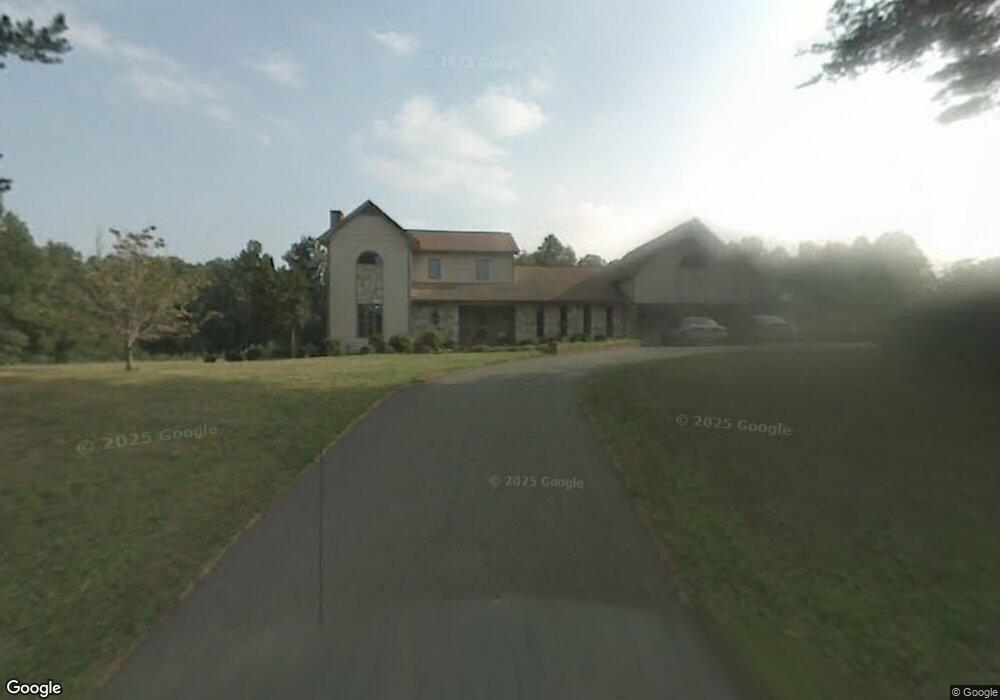
5400 Novack St Winston Salem, NC 27105
Ogburn Station NeighborhoodEstimated Value: $362,096 - $396,000
3
Beds
3
Baths
2,633
Sq Ft
$145/Sq Ft
Est. Value
About This Home
This home is located at 5400 Novack St, Winston Salem, NC 27105 and is currently estimated at $382,274, approximately $145 per square foot. 5400 Novack St is a home located in Forsyth County with nearby schools including Mineral Springs Elementary, Mineral Springs Middle School, and Carver High.
Ownership History
Date
Name
Owned For
Owner Type
Purchase Details
Closed on
Aug 30, 2000
Sold by
Wolverton Christopher and Wolverton Kathy
Bought by
Veach Ray A and Veach Frances M
Current Estimated Value
Purchase Details
Closed on
Jul 16, 1999
Sold by
Wolverton Christopher and Wolverton Kathy
Bought by
Elamin Fleming A and Elamin Cassaundra A
Home Financials for this Owner
Home Financials are based on the most recent Mortgage that was taken out on this home.
Original Mortgage
$155,700
Interest Rate
7.92%
Create a Home Valuation Report for This Property
The Home Valuation Report is an in-depth analysis detailing your home's value as well as a comparison with similar homes in the area
Home Values in the Area
Average Home Value in this Area
Purchase History
| Date | Buyer | Sale Price | Title Company |
|---|---|---|---|
| Veach Ray A | $55,000 | -- | |
| Elamin Fleming A | $173,000 | -- |
Source: Public Records
Mortgage History
| Date | Status | Borrower | Loan Amount |
|---|---|---|---|
| Previous Owner | Elamin Fleming A | $155,700 |
Source: Public Records
Tax History Compared to Growth
Tax History
| Year | Tax Paid | Tax Assessment Tax Assessment Total Assessment is a certain percentage of the fair market value that is determined by local assessors to be the total taxable value of land and additions on the property. | Land | Improvement |
|---|---|---|---|---|
| 2025 | $3,532 | $361,800 | $42,900 | $318,900 |
| 2024 | $3,371 | $251,800 | $30,300 | $221,500 |
| 2023 | $3,371 | $251,800 | $30,300 | $221,500 |
| 2022 | $3,308 | $251,800 | $30,300 | $221,500 |
| 2021 | $3,249 | $251,800 | $30,300 | $221,500 |
| 2020 | $3,044 | $220,400 | $23,600 | $196,800 |
| 2019 | $3,066 | $220,400 | $23,600 | $196,800 |
| 2018 | $2,911 | $220,400 | $23,600 | $196,800 |
| 2016 | $2,824 | $214,647 | $22,578 | $192,069 |
| 2015 | $2,781 | $214,647 | $22,578 | $192,069 |
| 2014 | $2,697 | $214,647 | $22,578 | $192,069 |
Source: Public Records
Map
Nearby Homes
- 5550 Brookfield Ridge Dr
- 5472 Shirley Jean Ct
- 106 Azalea Dr
- 4507 Heatherly Rd
- 229 Creeksedge Ct
- 0 Stonewall St Unit 1187672
- 177 Dillingham Rd
- 183 Dillingham Rd
- 228 Barlow Cir
- 4967 Trent Hill Dr
- 651 Motor Rd
- 0 Barlow Cir Unit 1191383
- 168 Oak Summit Rd
- 1217 Mardele Ln
- 5615 Plantation Dr
- 1194 Blackburn Rd
- 4455 Brassfield Dr Unit 304
- 5119 Old Rural Hall Rd
- 0 Westover Dr
- 0 Motor Rd Unit 1181944
- 0 Novack St
- 5451 Novack St
- 5531 Legare Dr
- 5475 Novack St
- 5521 Legare Dr
- 5495 Novack St
- 5370 Brookfield Ridge Ct
- 5377 Brookfield Ridge Ct
- 5521 Novack St
- 5545 Highland Trace Ct
- 1 Legare Dr
- 0 Legare Dr
- 5530 Legare Dr
- 5350 Brookfield Ridge Ct
- 5520 Legare Dr
- 5531 Novack St
- 5355 Brookfield Ridge Ct
- 4345 Whittier Rd
- 5510 Legare Dr
- 0 Fairway Forest Dr