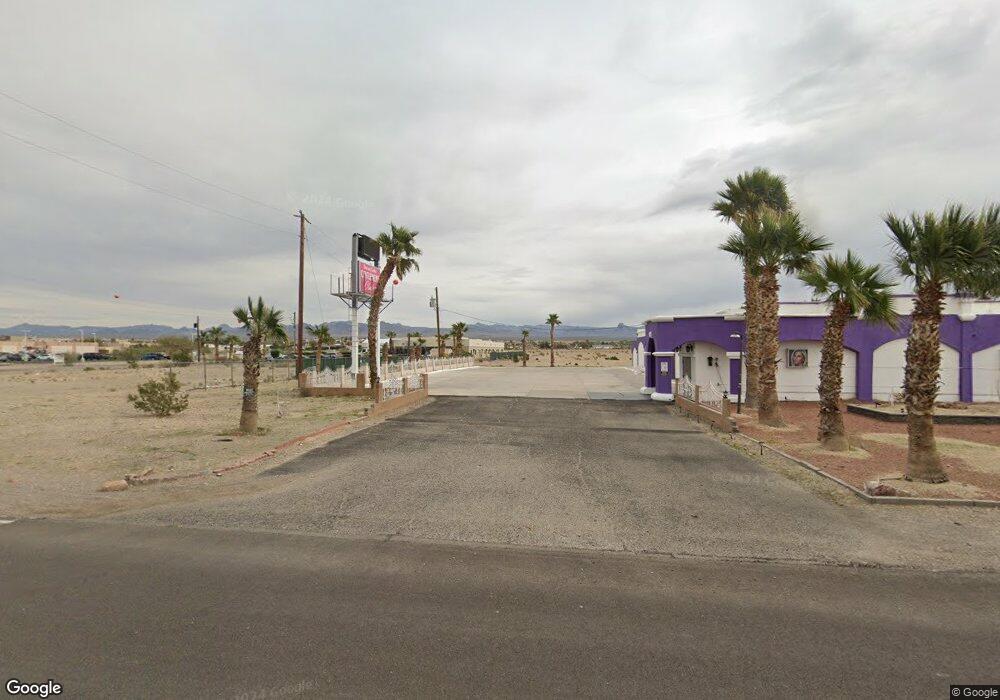
5400 S Highway 95 Fort Mohave, AZ 86426
Estimated Value: $541,347
--
Bed
--
Bath
--
Sq Ft
0.88
Acres
About This Home
This home is located at 5400 S Highway 95, Fort Mohave, AZ 86426 and is currently estimated at $541,347. 5400 S Highway 95 is a home located in Mohave County with nearby schools including Fort Mohave Elementary School, Camp Mohave Elementary School, and Mohave Valley Junior High School.
Ownership History
Date
Name
Owned For
Owner Type
Purchase Details
Closed on
Jul 27, 2023
Sold by
Philip L Carter Trust and Carter Trust
Bought by
Hwy 95 Ent Llc
Current Estimated Value
Purchase Details
Closed on
Jun 29, 2023
Sold by
Philip L Carter Trust and Carter Trust
Bought by
Hwy 95 Ent Llc
Purchase Details
Closed on
Mar 21, 2016
Sold by
Valley Professional Plaza Llc
Bought by
The Carter Trust
Purchase Details
Closed on
Aug 15, 2002
Sold by
Mcnulty Terence and Mcnulty Rosemary Carolyn
Bought by
West Gerald and West Michele
Home Financials for this Owner
Home Financials are based on the most recent Mortgage that was taken out on this home.
Original Mortgage
$132,000
Interest Rate
6.16%
Mortgage Type
Seller Take Back
Create a Home Valuation Report for This Property
The Home Valuation Report is an in-depth analysis detailing your home's value as well as a comparison with similar homes in the area
Home Values in the Area
Average Home Value in this Area
Purchase History
| Date | Buyer | Sale Price | Title Company |
|---|---|---|---|
| Hwy 95 Ent Llc | -- | None Listed On Document | |
| Hwy 95 Ent Llc | -- | None Listed On Document | |
| The Carter Trust | -- | None Available | |
| West Gerald | $165,000 | First American Title Ins Co |
Source: Public Records
Mortgage History
| Date | Status | Borrower | Loan Amount |
|---|---|---|---|
| Previous Owner | West Gerald | $132,000 |
Source: Public Records
Tax History Compared to Growth
Tax History
| Year | Tax Paid | Tax Assessment Tax Assessment Total Assessment is a certain percentage of the fair market value that is determined by local assessors to be the total taxable value of land and additions on the property. | Land | Improvement |
|---|---|---|---|---|
| 2026 | -- | -- | -- | -- |
| 2025 | $2,507 | $46,154 | $0 | $0 |
| 2024 | $2,507 | $56,352 | $0 | $0 |
| 2023 | $2,507 | $45,285 | $0 | $0 |
| 2022 | $2,533 | $23,658 | $0 | $0 |
| 2021 | $2,686 | $20,781 | $0 | $0 |
| 2019 | $2,510 | $22,814 | $0 | $0 |
| 2018 | $2,637 | $21,250 | $0 | $0 |
| 2017 | $2,610 | $21,348 | $0 | $0 |
| 2016 | $2,316 | $21,098 | $0 | $0 |
Source: Public Records
Map
Nearby Homes
- 7590 S Highway 95
- 5462 S Calle Valle Vista
- 5590 S Highway 95
- 0000 Joy Ln
- 5315 S Calle Del Media
- 1360 E Hammer Rd
- 1461 E Paseo Redondo Cir
- 5301 S Covina Rd
- 5505 S Pearl St
- 1744 E Hammer Ln
- 1787 E Aloe Ln
- 5330 S Calle Del Media
- 1793 E Aloe Ln
- 5320 S Calle Del Media
- 1392 E Ruby Ct
- 5421 S Cholla Dr
- 5628 S Mission Rd
- 5205 S Silver Sands Dr
- 5590 S Wishing Well Dr
- 5676 S Pasadena Rd
- 000 Highway 95
- 1590B Highway 95
- 0 Hammer Highway 95
- 0 Highway 95-Aztec
- 3890 Highway 95
- 0 Highway 95 Frontage
- 0 Highway 95
- 002 Highway 95
- 5410 S Highway 95
- 1510 E Wagon Wheel Ln Unit 6 & 7
- 1510 E Wagon Wheel Ln
- 1510 E Wagon Wheel Ln
- 003 Highway 95
- 001 Highway 95
- 5360 S Highway 95
- 5360 Highway 95
- 5373 Highway 95
- 5340 Highway 95
- 5440 S Hwy 95
- 5440 S Highway 95