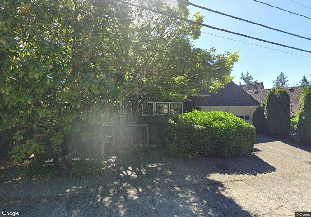
5400 SW Menefee Dr Portland, OR 97239
Hillsdale NeighborhoodEstimated Value: $761,191 - $1,109,000
4
Beds
3
Baths
2,604
Sq Ft
$345/Sq Ft
Est. Value
About This Home
This home is located at 5400 SW Menefee Dr, Portland, OR 97239 and is currently estimated at $899,048, approximately $345 per square foot. 5400 SW Menefee Dr is a home located in Multnomah County with nearby schools including Rieke Elementary School, Robert Gray Middle School, and Ida B. Wells-Barnett High School.
Ownership History
Date
Name
Owned For
Owner Type
Purchase Details
Closed on
Feb 24, 2014
Sold by
Duncan William C
Bought by
Sewell Virginia D
Current Estimated Value
Home Financials for this Owner
Home Financials are based on the most recent Mortgage that was taken out on this home.
Original Mortgage
$377,000
Outstanding Balance
$277,468
Interest Rate
3.75%
Mortgage Type
Adjustable Rate Mortgage/ARM
Estimated Equity
$621,580
Purchase Details
Closed on
Nov 12, 2002
Sold by
Winters Anne Wheeler
Bought by
Duncan William C
Home Financials for this Owner
Home Financials are based on the most recent Mortgage that was taken out on this home.
Original Mortgage
$380,000
Interest Rate
5.95%
Mortgage Type
Purchase Money Mortgage
Purchase Details
Closed on
Jul 7, 1998
Sold by
Winters Anne B W
Bought by
Winters Anne Wheeler and Anne Wheelers Winters Trust
Create a Home Valuation Report for This Property
The Home Valuation Report is an in-depth analysis detailing your home's value as well as a comparison with similar homes in the area
Home Values in the Area
Average Home Value in this Area
Purchase History
| Date | Buyer | Sale Price | Title Company |
|---|---|---|---|
| Sewell Virginia D | $670,000 | Fidelity Natl Title Co Of Or | |
| Duncan William C | $475,000 | Multiple | |
| Winters Anne Wheeler | -- | -- |
Source: Public Records
Mortgage History
| Date | Status | Borrower | Loan Amount |
|---|---|---|---|
| Open | Sewell Virginia D | $377,000 | |
| Previous Owner | Duncan William C | $380,000 |
Source: Public Records
Tax History Compared to Growth
Tax History
| Year | Tax Paid | Tax Assessment Tax Assessment Total Assessment is a certain percentage of the fair market value that is determined by local assessors to be the total taxable value of land and additions on the property. | Land | Improvement |
|---|---|---|---|---|
| 2025 | $13,073 | $539,910 | -- | -- |
| 2024 | $12,238 | $524,190 | -- | -- |
| 2023 | $12,791 | $508,930 | $0 | $0 |
| 2022 | $13,019 | $494,110 | $0 | $0 |
| 2021 | $11,521 | $479,720 | $0 | $0 |
| 2020 | $9,863 | $465,750 | $0 | $0 |
| 2019 | $10,182 | $452,190 | $0 | $0 |
| 2018 | $9,971 | $439,020 | $0 | $0 |
| 2017 | $9,550 | $426,240 | $0 | $0 |
| 2016 | $8,635 | $413,830 | $0 | $0 |
| 2015 | $7,834 | $401,780 | $0 | $0 |
| 2014 | $7,279 | $390,080 | $0 | $0 |
Source: Public Records
Map
Nearby Homes
- 5570 SW Menefee Dr
- 1125 SW Westwood Ct
- 0 SW Ralston Dr
- 0 SW Westwood Ct
- 5862 SW Ralston Dr
- 6254 SW Burlingame Ave Unit A
- 0 SW Barbur Blvd
- 6196 SW Capitol Hwy Unit 6196
- 0 SW View Point Terrace Unit 24554973
- 5425 SW View Point Terrace Unit 107
- 6220 SW Capitol Hwy Unit 8
- 6220 SW Capitol Hwy Unit 7
- 0 S View Point Terrace
- 16 S Boundary St
- 5218 SW View Point Terrace Unit 5
- 4922 SW 1st Ave
- 4815 SW 1st Ave
- 5115 S Corbett Ave Unit H
- 6028 SW 18th Dr
- 5531 S Kelly Ave
- 5500 SW Menefee Dr
- 5350 SW Menefee Dr
- 5510 SW Menefee Dr
- 1030 SW Westwood Dr
- 5520 SW Menefee Dr
- 5340 SW Menefee Dr
- 1035 SW Westwood Dr
- 1011 SW Westwood Dr
- 1050 SW Westwood Dr
- 1022 SW Westwood Dr
- 5519 SW Menefee Dr
- 5530 SW Menefee Dr
- 5316 SW Menefee Dr
- 5321 SW Menefee Dr
- 5540 SW Menefee Dr
- 1064 SW Westwood Dr
- 1009 SW Westwood Dr
- 5523 SW Menefee Dr
- 5306 SW Menefee Dr
- 1066 SW Westwood Dr