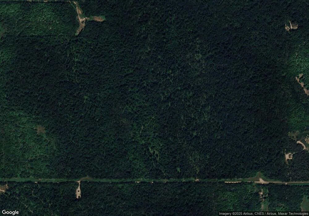
5400 Wressel Rd Harbor Springs, MI 49740
Estimated Value: $124,000 - $159,000
--
Bed
--
Bath
--
Sq Ft
37.5
Acres
About This Home
This home is located at 5400 Wressel Rd, Harbor Springs, MI 49740 and is currently estimated at $141,500. 5400 Wressel Rd is a home with nearby schools including Harbor Springs Middle School, Shay Elementary School, and Blackbird Elementary School.
Ownership History
Date
Name
Owned For
Owner Type
Purchase Details
Closed on
Jan 5, 2017
Sold by
Whitehouse Alan and Whitehouse Darlene
Bought by
Truman Brent and Truman Amanda
Current Estimated Value
Home Financials for this Owner
Home Financials are based on the most recent Mortgage that was taken out on this home.
Original Mortgage
$33,000
Outstanding Balance
$16,443
Interest Rate
4.13%
Mortgage Type
Unknown
Estimated Equity
$125,057
Purchase Details
Closed on
Nov 15, 2002
Sold by
Fry Johnny L and Fry Beatrice
Bought by
Fry Beatrice A
Purchase Details
Closed on
May 15, 2002
Sold by
Swink Claudia J and Swink Christopher
Bought by
Fry Johnny L and Fry Beatrice
Purchase Details
Closed on
Sep 18, 1997
Sold by
Swink Claudia and Depietro Linda
Bought by
Swink Claudia J and Swink Christopher
Create a Home Valuation Report for This Property
The Home Valuation Report is an in-depth analysis detailing your home's value as well as a comparison with similar homes in the area
Home Values in the Area
Average Home Value in this Area
Purchase History
| Date | Buyer | Sale Price | Title Company |
|---|---|---|---|
| Truman Brent | $43,000 | Corporate Settlement | |
| Fry Beatrice A | -- | -- | |
| Fry Johnny L | $100,000 | -- | |
| Swink Claudia J | -- | -- |
Source: Public Records
Mortgage History
| Date | Status | Borrower | Loan Amount |
|---|---|---|---|
| Open | Truman Brent | $33,000 |
Source: Public Records
Tax History Compared to Growth
Tax History
| Year | Tax Paid | Tax Assessment Tax Assessment Total Assessment is a certain percentage of the fair market value that is determined by local assessors to be the total taxable value of land and additions on the property. | Land | Improvement |
|---|---|---|---|---|
| 2025 | $1,333 | $93,900 | $93,900 | $0 |
| 2024 | $1,333 | $82,600 | $82,600 | $0 |
| 2023 | $1,222 | $52,600 | $52,600 | $0 |
| 2022 | $1,222 | $33,800 | $33,800 | $0 |
| 2021 | $1,179 | $33,800 | $33,800 | $0 |
| 2020 | $1,161 | $30,000 | $30,000 | $0 |
| 2019 | -- | $31,900 | $31,900 | $0 |
| 2018 | -- | $31,900 | $31,900 | $0 |
| 2017 | -- | $31,900 | $31,900 | $0 |
| 2016 | -- | $31,900 | $31,900 | $0 |
| 2015 | -- | $31,900 | $0 | $0 |
| 2014 | -- | $31,900 | $0 | $0 |
Source: Public Records
Map
Nearby Homes
- 3882 S State Rd
- 4610 Stoney Hill Ct
- 4268 Lightfoot Rd
- 4790 Mariners Point
- 3285 Oak Ridge Trail
- 4725 Turfway Trail
- 840 Fairways Dr Unit 1
- Lot 2 True Dr N
- 807 Fairways Dr
- 2171 Sanctuary Dr
- 3013 Village Ln
- 2360 Columbia Point Unit Lot56
- 3395 Needles Dr Unit Lot 26
- 2194 N Blackrock Way Unit 43
- 3367 Needles Dr Unit Lot 27
- 3402 Needles Dr Unit Lot 16
- 700 Fairways Dr Unit 2
- 700 Fairways Dr Unit 14
- 3480 Needles Dr
- 3395 and 3367 Needles Dr Unit Lot 26 and 27
- 4950 Wressel Rd
- 4585 Walker Rd
- 4850 Wressel Rd
- 5995 Wressel Rd
- 4985 Wressel Rd
- 5864 Wressel Rd
- 4615 Walker Rd
- 5207 W Stutsmanville Rd
- 5151 W Stutsmanville Rd
- 3690 Friendship Trail
- 4525 Walker Rd
- 4523 Wressel Rd
- 4465 Wressel Rd
- 4700 Wressel Rd
- 4700 Walker Rd
- 4675 Walker Rd
- 5115 Wressel Rd
- 4555 Walker Dr
- 4500/4700 Walker Dr
- 4465 Walker Dr
