5401 Anderson Rd Saint Johns, MI 48879
Estimated Value: $257,041 - $344,000
3
Beds
1
Bath
1,232
Sq Ft
$246/Sq Ft
Est. Value
About This Home
This home is located at 5401 Anderson Rd, Saint Johns, MI 48879 and is currently estimated at $303,510, approximately $246 per square foot. 5401 Anderson Rd is a home located in Clinton County with nearby schools including St. Johns High School.
Ownership History
Date
Name
Owned For
Owner Type
Purchase Details
Closed on
Aug 22, 2023
Sold by
Welch Ronald B and Welch Michele L
Bought by
Ronald B Welch And Michele L Welch Revocable and Welch
Current Estimated Value
Purchase Details
Closed on
Jun 30, 2017
Sold by
Welch Evert B and Welch Rose A
Bought by
Welch Ronald B and Welch Michele L
Purchase Details
Closed on
Aug 28, 2008
Sold by
Welch Evert B and Welch Rose A
Bought by
Welch Evert B and Welch Rose A
Home Financials for this Owner
Home Financials are based on the most recent Mortgage that was taken out on this home.
Original Mortgage
$114,400
Interest Rate
6.5%
Mortgage Type
Purchase Money Mortgage
Purchase Details
Closed on
Jul 25, 2008
Sold by
Welch Ronald B and Welch Michelle L
Bought by
Welch Evert B and Welch Rose A
Home Financials for this Owner
Home Financials are based on the most recent Mortgage that was taken out on this home.
Original Mortgage
$114,400
Interest Rate
6.5%
Mortgage Type
Purchase Money Mortgage
Create a Home Valuation Report for This Property
The Home Valuation Report is an in-depth analysis detailing your home's value as well as a comparison with similar homes in the area
Home Values in the Area
Average Home Value in this Area
Purchase History
| Date | Buyer | Sale Price | Title Company |
|---|---|---|---|
| Ronald B Welch And Michele L Welch Revocable | -- | None Listed On Document | |
| Welch Ronald B | -- | None Available | |
| Welch Evert B | -- | None Available | |
| Welch Evert B | $143,000 | None Available |
Source: Public Records
Mortgage History
| Date | Status | Borrower | Loan Amount |
|---|---|---|---|
| Previous Owner | Welch Evert B | $114,400 |
Source: Public Records
Tax History Compared to Growth
Tax History
| Year | Tax Paid | Tax Assessment Tax Assessment Total Assessment is a certain percentage of the fair market value that is determined by local assessors to be the total taxable value of land and additions on the property. | Land | Improvement |
|---|---|---|---|---|
| 2025 | $1,872 | $121,100 | $15,700 | $105,400 |
| 2024 | $840 | $113,700 | $12,700 | $101,000 |
| 2023 | $795 | $102,400 | $0 | $0 |
| 2022 | $1,694 | $94,500 | $11,500 | $83,000 |
| 2021 | $1,662 | $86,200 | $10,200 | $76,000 |
| 2020 | $1,594 | $82,800 | $9,200 | $73,600 |
| 2019 | $1,585 | $77,300 | $8,700 | $68,600 |
| 2018 | $2,477 | $68,400 | $9,000 | $59,400 |
| 2017 | -- | $69,300 | $9,000 | $60,300 |
| 2016 | $1,343 | $65,000 | $7,800 | $57,200 |
| 2015 | -- | $57,700 | $0 | $0 |
| 2011 | -- | $57,500 | $0 | $0 |
Source: Public Records
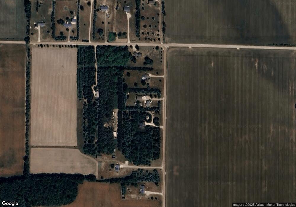
Map
Nearby Homes
- 5233 Paxton Rd
- 0 V/L W Colony Rd
- 0 W Colony Unit 286993
- 7757 N Forest Hill Rd
- 8150 Idared Rd
- 8095 Mcintosh Rd
- 7240 Empire Rd
- 9515 W Moss Rd
- TBD E Main St
- 126 E Washington St
- 129 E Main St
- 209 W Adelaide St
- 7717 N Wacousta Rd
- V/L Mill St
- 8843 N Dewitt Rd
- 5100 Rainbow Lake Rd
- 4813 Lakeside Dr
- 102 Lakeside Dr
- The Claire Plan at Fieldstone Village
- The Lilly Plan at Fieldstone Village
- 5443 Anderson Rd
- 5365 Anderson Rd
- 6537 W Lowe Rd
- 6625 W Lowe Rd
- 5281 Anderson Rd
- 5233 Anderson Rd
- 6570 W Lowe Rd
- 6500 W Lowe Rd
- 6680 W Lowe Rd
- 6640 W Lowe Rd
- 6700 W Lowe Rd
- 5031 Anderson Rd
- 6155 W Lowe Rd
- 6933 W Lowe Rd
- 5429 Essex Center Rd
- 4849 Anderson Rd
- 6565 W Mead Rd
- 0 N Lowell Rd
- 000 N Lowell Rd
- 00 N Lowell Rd