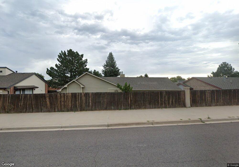
5401 Meadowbrook Dr Cheyenne, WY 82009
Estimated Value: $459,615 - $513,000
--
Bed
--
Bath
2,109
Sq Ft
$227/Sq Ft
Est. Value
About This Home
This home is located at 5401 Meadowbrook Dr, Cheyenne, WY 82009 and is currently estimated at $478,404, approximately $226 per square foot. 5401 Meadowbrook Dr is a home located in Laramie County with nearby schools including Hobbs Elementary School, McCormick Junior High School, and Central High School.
Ownership History
Date
Name
Owned For
Owner Type
Purchase Details
Closed on
Jul 29, 2005
Sold by
Cirillo Louis V and Cirillo Teresa T
Bought by
Hansen Michael S and Hansen Dena L
Current Estimated Value
Home Financials for this Owner
Home Financials are based on the most recent Mortgage that was taken out on this home.
Original Mortgage
$212,400
Outstanding Balance
$111,290
Interest Rate
5.62%
Mortgage Type
New Conventional
Estimated Equity
$367,114
Purchase Details
Closed on
Dec 3, 2001
Sold by
Boone Korber Diana Jean and Boone Doris W
Bought by
Cirillo Louis and Cirillo Teresa T
Home Financials for this Owner
Home Financials are based on the most recent Mortgage that was taken out on this home.
Original Mortgage
$187,000
Interest Rate
6.57%
Mortgage Type
VA
Create a Home Valuation Report for This Property
The Home Valuation Report is an in-depth analysis detailing your home's value as well as a comparison with similar homes in the area
Home Values in the Area
Average Home Value in this Area
Purchase History
| Date | Buyer | Sale Price | Title Company |
|---|---|---|---|
| Hansen Michael S | -- | -- | |
| Cirillo Louis | -- | -- |
Source: Public Records
Mortgage History
| Date | Status | Borrower | Loan Amount |
|---|---|---|---|
| Open | Hansen Michael S | $212,400 | |
| Previous Owner | Cirillo Louis | $187,000 |
Source: Public Records
Tax History Compared to Growth
Tax History
| Year | Tax Paid | Tax Assessment Tax Assessment Total Assessment is a certain percentage of the fair market value that is determined by local assessors to be the total taxable value of land and additions on the property. | Land | Improvement |
|---|---|---|---|---|
| 2025 | $2,970 | $32,621 | $3,845 | $28,776 |
| 2024 | $2,970 | $42,009 | $5,127 | $36,882 |
| 2023 | $2,946 | $41,666 | $5,127 | $36,539 |
| 2022 | $2,818 | $39,041 | $5,127 | $33,914 |
| 2021 | $2,504 | $34,618 | $5,127 | $29,491 |
| 2020 | $2,262 | $31,355 | $5,127 | $26,228 |
| 2019 | $2,113 | $29,262 | $5,127 | $24,135 |
| 2018 | $2,100 | $29,368 | $4,443 | $24,925 |
| 2017 | $2,018 | $27,955 | $4,227 | $23,728 |
| 2016 | $1,977 | $27,379 | $3,912 | $23,467 |
| 2015 | $1,979 | $27,405 | $3,912 | $23,493 |
| 2014 | $1,829 | $25,165 | $3,912 | $21,253 |
Source: Public Records
Map
Nearby Homes
- 245 Lakeshore Dr
- 5404 Sunset Dr
- 5620 Sunset Dr
- 485 Andra Ct
- 1462 Trent Ct
- 5211 Fawn Pass
- 249 Shoshoni St
- 5211 Fishing Bridge
- 148 Kornegay Ct Unit 2
- 1502 Trent Ct Unit 9
- 1532 Trent Ct
- 1532 Trent Ct Unit A102
- 247 Miller Ln
- 234 Miller Ln Unit A
- Lot 8 Hynds Blvd
- Lot 12 Hynds Blvd
- 5711 Townsend Place
- 5413 Frederick Dr
- 5907 Townsend Place
- 600 Manor Ln
- 208 Ferguson Ave
- 217 Cascade Ave
- 219 Cascade Ave
- 215 Cascade Ave
- 213 Cascade Ave
- 5332 Meadowbrook Dr
- 200 Ferguson Ave
- 5400 Meadowbrook Dr
- 5324 Meadowbrook Dr
- 209 Ferguson Ave
- 211 Cascade Ave
- 5408 Meadowbrook Dr
- 209 Cascade Ave
- 5412 Meadowbrook Dr
- 5318 Meadowbrook Dr
- 201 Ferguson Ave
- 5416 Meadowbrook Dr
- 126 Ferguson Ave
- 212 Cascade Ave
- 216 Cascade Ave