5401 Upper Peoh Point Rd Cle Elum, WA 98922
Estimated Value: $540,734 - $614,000
2
Beds
2
Baths
1,440
Sq Ft
$402/Sq Ft
Est. Value
About This Home
This home is located at 5401 Upper Peoh Point Rd, Cle Elum, WA 98922 and is currently estimated at $578,684, approximately $401 per square foot. 5401 Upper Peoh Point Rd is a home located in Kittitas County with nearby schools including Cle Elum Roslyn Elementary School, Walter Strom Middle School, and Cle Elum Roslyn High School.
Ownership History
Date
Name
Owned For
Owner Type
Purchase Details
Closed on
Jan 20, 2010
Sold by
Osborne Lesile L
Bought by
Miller Jim and Erion Virginia
Current Estimated Value
Home Financials for this Owner
Home Financials are based on the most recent Mortgage that was taken out on this home.
Original Mortgage
$250,000
Outstanding Balance
$163,806
Interest Rate
4.91%
Mortgage Type
Purchase Money Mortgage
Estimated Equity
$414,878
Create a Home Valuation Report for This Property
The Home Valuation Report is an in-depth analysis detailing your home's value as well as a comparison with similar homes in the area
Home Values in the Area
Average Home Value in this Area
Purchase History
| Date | Buyer | Sale Price | Title Company |
|---|---|---|---|
| Miller Jim | $250,000 | Fatco |
Source: Public Records
Mortgage History
| Date | Status | Borrower | Loan Amount |
|---|---|---|---|
| Open | Miller Jim | $250,000 |
Source: Public Records
Tax History Compared to Growth
Tax History
| Year | Tax Paid | Tax Assessment Tax Assessment Total Assessment is a certain percentage of the fair market value that is determined by local assessors to be the total taxable value of land and additions on the property. | Land | Improvement |
|---|---|---|---|---|
| 2025 | $2,638 | $457,440 | $141,640 | $315,800 |
| 2023 | $2,638 | $395,460 | $101,630 | $293,830 |
| 2022 | $2,345 | $327,120 | $76,610 | $250,510 |
| 2021 | $2,420 | $337,970 | $93,000 | $244,970 |
| 2019 | $2,219 | $288,610 | $70,300 | $218,310 |
| 2018 | $1,985 | $244,950 | $70,300 | $174,650 |
| 2017 | $1,985 | $244,950 | $70,300 | $174,650 |
| 2016 | $1,990 | $244,950 | $70,300 | $174,650 |
| 2015 | $2,060 | $244,950 | $70,300 | $174,650 |
| 2013 | -- | $221,580 | $72,800 | $148,780 |
Source: Public Records
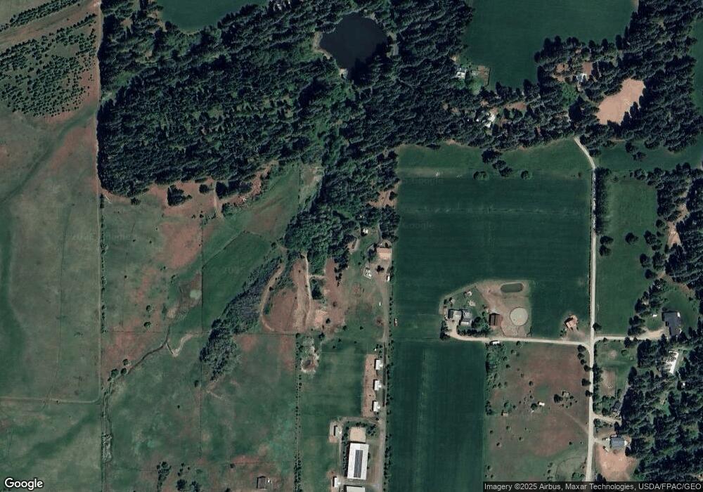
Map
Nearby Homes
- 1721 Forest Ridge Dr
- 31 Forest Ridge Dr
- 181 Elk Rd
- 500 Colfax Rd
- 741 McDonald Rd
- 1481 Casassa Rd
- 6280 Lower Peoh Point Rd
- 61 - 341 Tetons Ln
- 0 xxx Washington 970
- 1810 Casassa Rd
- 2781 970
- 2431 Sr 970
- 451 Aspen Springs Rd
- 21 Two Springs Rd
- 211 Indian Hill Rd
- 8607 Upper Peoh Point Rd
- 290 2 Spring Rd
- 1290 Rodeo Rd
- 621 Rodeo Rd
- 891 Rodeo Rd
- 203 Elk Haven Rd
- 101 Elk Haven Rd
- 520 Sunny Meadows Dr
- 0 Sunny Meadows Dr Unit 1840649
- 520 Sunny Meadows Dr Unit Lot E
- 0 Pine Duff Dr Unit 1571147
- 0 Pine Duff Dr Unit 1571715
- 0 Pine Duff Dr Unit 1392170
- 5390 Upper Peoh Point Rd
- 5741 Upper Peoh Point Rd
- 5230 Upper Peoh Point Rd
- 5550 Upper Peoh Point Rd
- 360 Forest Grove (Lot 8) Way
- 0 Sunny Meadow Dr Unit Lot F 1841148
- 0 Sunny Meadow Dr Unit 1817512
- 120 Elk Haven Rd
- 0 Markovich Rd Unit 1332073
- 0 Markovich Rd Unit 838786
- 0 Markovich Rd Unit 1214170
- 43 Rainbow Ct