5402 Houston Rd Macon, GA 31216
Estimated Value: $173,000 - $210,000
3
Beds
3
Baths
1,960
Sq Ft
$95/Sq Ft
Est. Value
About This Home
This home is located at 5402 Houston Rd, Macon, GA 31216 and is currently estimated at $186,333, approximately $95 per square foot. 5402 Houston Rd is a home located in Bibb County with nearby schools including Porter Elementary School, Rutland Middle School, and Rutland High School.
Ownership History
Date
Name
Owned For
Owner Type
Purchase Details
Closed on
Aug 7, 2024
Sold by
Conley Carole Elizabeth
Bought by
Kayton Group Llc
Current Estimated Value
Purchase Details
Closed on
Sep 3, 2019
Sold by
Conley Eddie
Bought by
Wimberly Katrina D
Purchase Details
Closed on
Nov 10, 2003
Bought by
Conley Eddie
Purchase Details
Closed on
May 7, 2003
Create a Home Valuation Report for This Property
The Home Valuation Report is an in-depth analysis detailing your home's value as well as a comparison with similar homes in the area
Home Values in the Area
Average Home Value in this Area
Purchase History
| Date | Buyer | Sale Price | Title Company |
|---|---|---|---|
| Kayton Group Llc | -- | None Listed On Document | |
| Kayton Group Llc | -- | None Listed On Document | |
| Kayton Group Llc | -- | None Listed On Document | |
| Wimberly Katrina D | $3,750 | None Available | |
| Conley Eddie | $15,000 | -- | |
| -- | -- | -- |
Source: Public Records
Tax History Compared to Growth
Tax History
| Year | Tax Paid | Tax Assessment Tax Assessment Total Assessment is a certain percentage of the fair market value that is determined by local assessors to be the total taxable value of land and additions on the property. | Land | Improvement |
|---|---|---|---|---|
| 2025 | $422 | $17,159 | $4,531 | $12,628 |
| 2024 | $448 | $17,623 | $4,531 | $13,092 |
| 2023 | $522 | $17,623 | $4,531 | $13,092 |
| 2022 | $710 | $20,510 | $11,090 | $9,420 |
| 2021 | $779 | $20,510 | $11,090 | $9,420 |
| 2020 | $963 | $24,800 | $11,090 | $13,710 |
| 2019 | $971 | $24,800 | $11,090 | $13,710 |
| 2018 | $1,667 | $24,800 | $11,090 | $13,710 |
| 2017 | $929 | $24,800 | $11,090 | $13,710 |
| 2016 | $858 | $24,800 | $11,090 | $13,710 |
| 2015 | $1,214 | $24,800 | $11,090 | $13,710 |
| 2014 | $989 | $20,158 | $6,448 | $13,710 |
Source: Public Records
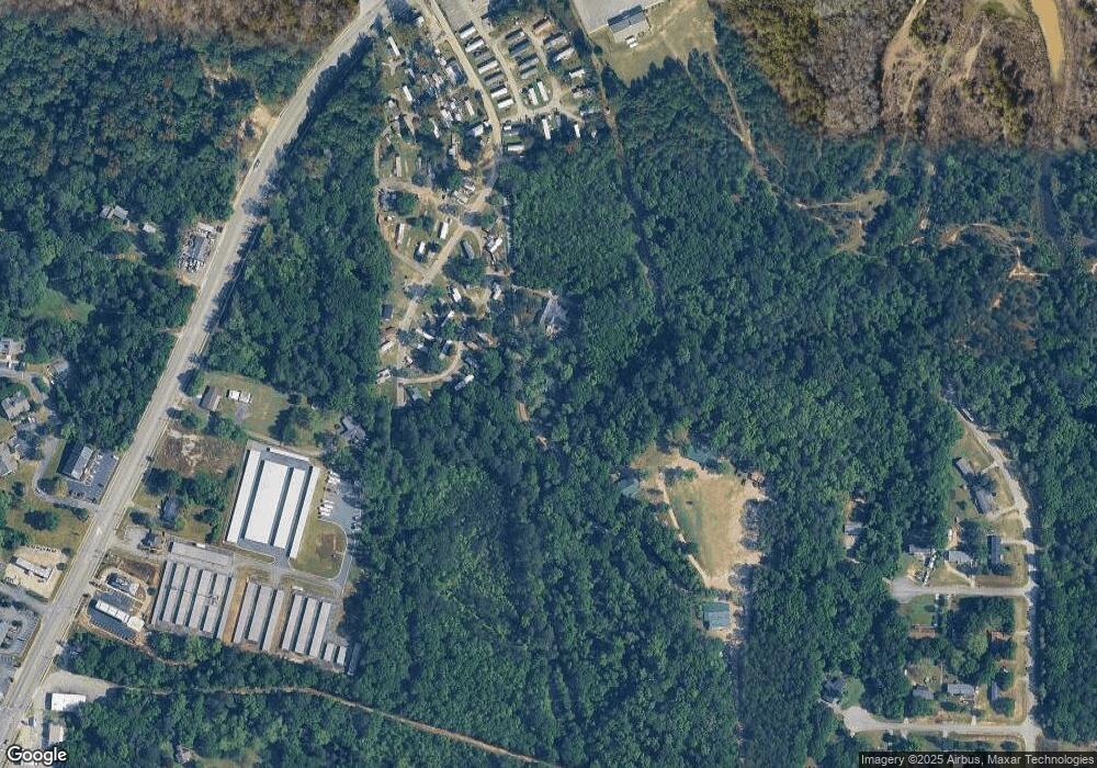
Map
Nearby Homes
- 116 Allentown Ct
- 3114 Beverdine Dr
- 116 Fred Ct
- 321 Browning Pointe Rd
- 3217 Marie Cir
- 106 Maries Garden Trail
- 620 Britton Way
- Plan 2131 at Oakview
- Plan 2100 at Oakview
- Plan 1709 at Oakview
- Plan 1709 at Oakview - Estates
- Plan 2604 at Oakview - Estates
- Plan 2628 at Oakview - Estates
- Plan 2604 at Oakview
- Plan 2307 at Oakview
- Plan 2121 at Oakview
- Plan 2505 at Oakview - Estates
- Plan 2700 at Oakview - Estates
- 344 Browning Pointe Rd
- 2800 S Estates Rd
- 5418 Houston Rd
- 5542 Houston Rd
- 5408 Houston Rd
- 5538 Houston Rd
- 5490 Houston Rd
- 5488 Houston Rd
- 5482 Houston Rd
- 5560 Houston Rd
- 5495 Houston Rd
- 712 Dottie Ct W
- 5570 Houston Rd
- 709 Dottie Ct W
- 515 Beacham Ct W
- 177 Linstead Dr
- 5378 Houston Rd
- 708 Dottie Ct W
- 5435 Houston Rd
- 516 Beacham Ct W
- 5548 Twin Wells Dr
- 5612 Houston Rd