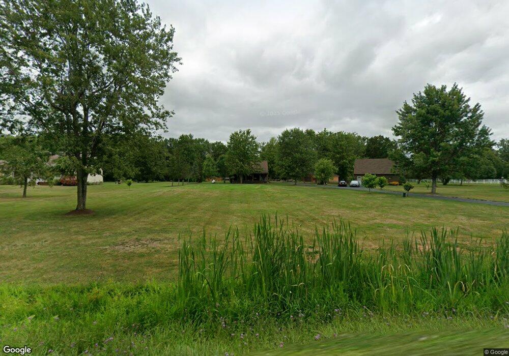
5403 Murphy Rd Lockport, NY 14094
Estimated Value: $151,000 - $464,370
3
Beds
3
Baths
2,412
Sq Ft
$139/Sq Ft
Est. Value
About This Home
This home is located at 5403 Murphy Rd, Lockport, NY 14094 and is currently estimated at $334,093, approximately $138 per square foot. 5403 Murphy Rd is a home located in Niagara County with nearby schools including Regan Intermediate School, Fricano Primary School, and Starpoint Middle School.
Ownership History
Date
Name
Owned For
Owner Type
Purchase Details
Closed on
Jul 26, 2024
Sold by
Merritt Danny G
Bought by
Bratt Deirdre
Current Estimated Value
Home Financials for this Owner
Home Financials are based on the most recent Mortgage that was taken out on this home.
Original Mortgage
$264,550
Outstanding Balance
$261,556
Interest Rate
6.87%
Mortgage Type
FHA
Estimated Equity
$72,537
Purchase Details
Closed on
May 29, 1997
Create a Home Valuation Report for This Property
The Home Valuation Report is an in-depth analysis detailing your home's value as well as a comparison with similar homes in the area
Home Values in the Area
Average Home Value in this Area
Purchase History
| Date | Buyer | Sale Price | Title Company |
|---|---|---|---|
| Bratt Deirdre | $330,000 | None Listed On Document | |
| -- | -- | -- |
Source: Public Records
Mortgage History
| Date | Status | Borrower | Loan Amount |
|---|---|---|---|
| Open | Bratt Deirdre | $264,550 |
Source: Public Records
Tax History Compared to Growth
Tax History
| Year | Tax Paid | Tax Assessment Tax Assessment Total Assessment is a certain percentage of the fair market value that is determined by local assessors to be the total taxable value of land and additions on the property. | Land | Improvement |
|---|---|---|---|---|
| 2024 | $7,528 | $353,000 | $40,500 | $312,500 |
| 2023 | $7,368 | $339,000 | $35,500 | $303,500 |
| 2022 | $6,759 | $295,000 | $35,500 | $259,500 |
| 2021 | $6,251 | $208,000 | $23,600 | $184,400 |
| 2020 | $5,266 | $208,000 | $23,600 | $184,400 |
| 2019 | $4,969 | $200,000 | $23,600 | $176,400 |
| 2018 | $4,881 | $182,000 | $23,600 | $158,400 |
| 2017 | $4,969 | $182,000 | $23,600 | $158,400 |
| 2016 | $4,762 | $170,000 | $23,600 | $146,400 |
| 2015 | -- | $170,000 | $23,600 | $146,400 |
| 2014 | -- | $165,000 | $24,600 | $140,400 |
Source: Public Records
Map
Nearby Homes
- 5427 Mapleton Rd
- 6022 Allen St Unit D
- 4847 Saunders Settlement Rd
- 5071 Junction Rd
- 4788 Mapleton Rd
- 81 Crosby Ave
- 4963 Sunset Dr
- 6035 S Transit Rd
- 4900 Town Line Rd
- 20 Lincoln Dr
- 125 Sherwood Dr
- 32 Webb St
- 78 Lincolnshire Dr
- 5821 Dunnigan Rd
- 6035 S Transit #288 Rd
- 1045 Fernwood Dr
- 166 Michigan St
- 1132 Lockwood Dr Unit 1132
- 1227 Parkwood Dr
- 4748 Thrall Rd