5405 A R Gordon Rd Waxhaw, NC 28173
Estimated Value: $310,000 - $413,000
3
Beds
2
Baths
1,803
Sq Ft
$204/Sq Ft
Est. Value
About This Home
This home is located at 5405 A R Gordon Rd, Waxhaw, NC 28173 and is currently estimated at $367,736, approximately $203 per square foot. 5405 A R Gordon Rd is a home located in Union County with nearby schools including Waxhaw Elementary School, Parkwood Middle School, and Parkwood High School.
Ownership History
Date
Name
Owned For
Owner Type
Purchase Details
Closed on
Nov 30, 2017
Sold by
Mcneely Michael W
Bought by
Couick Jonathan and Couick Whitney
Current Estimated Value
Home Financials for this Owner
Home Financials are based on the most recent Mortgage that was taken out on this home.
Original Mortgage
$147,000
Outstanding Balance
$125,869
Interest Rate
4.62%
Mortgage Type
Adjustable Rate Mortgage/ARM
Estimated Equity
$241,867
Purchase Details
Closed on
Aug 23, 2011
Sold by
Estate Of Robert Ney Mcneely Sr
Bought by
Mcneely Michael
Create a Home Valuation Report for This Property
The Home Valuation Report is an in-depth analysis detailing your home's value as well as a comparison with similar homes in the area
Home Values in the Area
Average Home Value in this Area
Purchase History
| Date | Buyer | Sale Price | Title Company |
|---|---|---|---|
| Couick Jonathan | $145,000 | None Available | |
| Mcneely Michael | -- | None Available |
Source: Public Records
Mortgage History
| Date | Status | Borrower | Loan Amount |
|---|---|---|---|
| Open | Couick Jonathan | $147,000 |
Source: Public Records
Tax History Compared to Growth
Tax History
| Year | Tax Paid | Tax Assessment Tax Assessment Total Assessment is a certain percentage of the fair market value that is determined by local assessors to be the total taxable value of land and additions on the property. | Land | Improvement |
|---|---|---|---|---|
| 2024 | $1,623 | $253,400 | $27,900 | $225,500 |
| 2023 | $1,596 | $253,400 | $27,900 | $225,500 |
| 2022 | $1,596 | $253,400 | $27,900 | $225,500 |
| 2021 | $1,592 | $253,400 | $27,900 | $225,500 |
| 2020 | $1,065 | $135,930 | $22,330 | $113,600 |
| 2019 | $1,067 | $135,930 | $22,330 | $113,600 |
| 2018 | $1,067 | $135,930 | $22,330 | $113,600 |
| 2017 | $1,126 | $136,900 | $23,300 | $113,600 |
| 2016 | $1,098 | $136,910 | $23,310 | $113,600 |
| 2015 | $1,115 | $136,910 | $23,310 | $113,600 |
| 2014 | $1,044 | $148,630 | $54,630 | $94,000 |
Source: Public Records
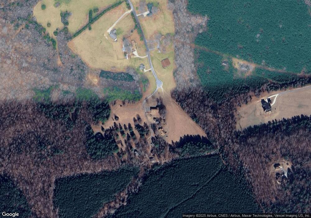
Map
Nearby Homes
- 5410 A R Gordon Rd
- 9304 Richardson King Rd
- 623 Mystic Way Ln
- 6201 Kelly Lynn Ct
- 6516 Rehobeth Rd
- 6515 Rehobeth Rd Unit 2
- 6511 Rehobeth Rd
- 6503 Rehobeth Rd Unit 5
- 6507 Rehobeth Rd Unit 4
- 0 Rockwood Dr
- 4607 Ferguson Cir
- Amberwood Plan at Forest Creek - Reserve
- Wingate Plan at Forest Creek - Reserve
- Continental Plan at Forest Creek - Meadow
- Newberry Plan at Forest Creek - Meadow
- Murphy Plan at Forest Creek - Meadow
- Furman Plan at Forest Creek - Reserve
- Riverton Plan at Forest Creek - Reserve
- Northridge Plan at Forest Creek - Reserve
- Stonebrook Plan at Forest Creek - Meadow
- 5411 A R Gordon Rd
- 5314 A R Gordon Rd
- 5412 A R Gordon Rd
- 5313 A R Gordon Rd
- 5518 Rehobeth Rd
- 5304 A R Gordon Rd
- 5303 A R Gordon Rd
- 5604 Rehobeth Rd
- 5606 Rehobeth Rd
- 5215 A R Gordon Rd
- 5207 A R Gordon Rd
- 9021 Richardson King Rd
- Lot 00 A R Gordon Rd Unit C
- 8903 Richardson King Rd Unit 1
- 8903 Richardson King Rd
- 8901 Richardson King Rd
- 8821 Richardson King Rd
- 8817 Richardson King Rd
- 5520 Rehobeth Rd
- 5520 Rehobeth Rd