5405 Irvine Trail NE Leland, NC 28451
Estimated Value: $176,000 - $275,907
3
Beds
2
Baths
1,144
Sq Ft
$185/Sq Ft
Est. Value
About This Home
This home is located at 5405 Irvine Trail NE, Leland, NC 28451 and is currently estimated at $211,477, approximately $184 per square foot. 5405 Irvine Trail NE is a home located in Brunswick County with nearby schools including Town Creek Elementary School and South Brunswick High School.
Ownership History
Date
Name
Owned For
Owner Type
Purchase Details
Closed on
Apr 16, 2020
Sold by
Stokes Myrtle C and Stokes Myrtle B
Bought by
Westbrook Catherine H and Westbrook Michael E
Current Estimated Value
Home Financials for this Owner
Home Financials are based on the most recent Mortgage that was taken out on this home.
Original Mortgage
$106,700
Outstanding Balance
$94,162
Interest Rate
3.2%
Mortgage Type
New Conventional
Estimated Equity
$117,315
Purchase Details
Closed on
Dec 1, 1992
Bought by
Stokes Richard S Et Myrtle B
Create a Home Valuation Report for This Property
The Home Valuation Report is an in-depth analysis detailing your home's value as well as a comparison with similar homes in the area
Home Values in the Area
Average Home Value in this Area
Purchase History
| Date | Buyer | Sale Price | Title Company |
|---|---|---|---|
| Westbrook Catherine H | $110,000 | None Available | |
| Stokes Richard S Et Myrtle B | $10,000 | -- |
Source: Public Records
Mortgage History
| Date | Status | Borrower | Loan Amount |
|---|---|---|---|
| Open | Westbrook Catherine H | $106,700 |
Source: Public Records
Tax History Compared to Growth
Tax History
| Year | Tax Paid | Tax Assessment Tax Assessment Total Assessment is a certain percentage of the fair market value that is determined by local assessors to be the total taxable value of land and additions on the property. | Land | Improvement |
|---|---|---|---|---|
| 2025 | $782 | $168,800 | $35,000 | $133,800 |
| 2024 | $782 | $168,800 | $35,000 | $133,800 |
| 2023 | $759 | $168,800 | $35,000 | $133,800 |
| 2022 | $742 | $119,030 | $28,000 | $91,030 |
| 2021 | $742 | $119,030 | $28,000 | $91,030 |
| 2020 | $742 | $119,030 | $28,000 | $91,030 |
| 2019 | $515 | $34,030 | $28,000 | $6,030 |
| 2018 | $499 | $35,630 | $28,000 | $7,630 |
| 2017 | $499 | $35,630 | $28,000 | $7,630 |
| 2016 | $469 | $35,630 | $28,000 | $7,630 |
| 2015 | $469 | $118,560 | $28,000 | $90,560 |
| 2014 | $544 | $144,253 | $52,500 | $91,753 |
Source: Public Records
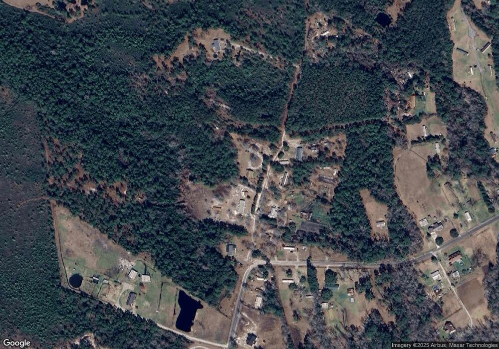
Map
Nearby Homes
- 8 Green Hill Rd NE
- 9 Green Hill Rd NE
- 6 Green Hill Rd NE
- 4 Green Hill Rd NE
- 10 Green Hill Rd NE
- 1435 Green Hill Rd NE
- 1121 Green Hill Rd NE
- 847 Red Sky Dr
- 1053 Setting Sun Blvd NE
- 958 Sunray Ln NE
- 830 Red Sky Dr
- 1561 Dusk Cove NE
- 825 Red Sky Dr NE
- 826 Red Sky Dr NE
- 93 Laura Ct NE
- 587 Town Creek Rd NE
- 821 Red Sky Dr NE
- 822 Red Sky Dr
- 1016 Setting Sun Blvd NE
- 1012 Setting Sun Blvd NE
- 5341 Maultsby Rd NE
- 5365 Maultsby Rd NE
- 5372 Maultsby Rd NE
- 5300 Maultsby Rd NE
- 5441 Maultsby Rd NE
- 5422 Maultsby Rd NE
- 5461 Maultsby Rd NE
- 5432 Maultsby Rd NE
- 5481 Maultsby Rd NE
- 1189 Green Hill Rd NE
- L-6 Maultsby
- 5230 Maultsby Rd NE
- 1237 Green Hill Rd NE
- 5557 Maultsby Rd NE
- 5229 Maultsby Rd NE
- 1080 Green Hill Rd NE
- 1192 Green Hill Rd NE
- 5151 Maultsby Rd NE
- 1019 Green Hill Rd NE
- 5520 Maultsby Rd NE