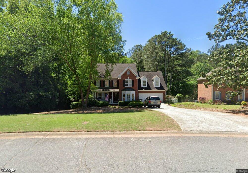
5406 Georgetown Trace SW Unit 1 Lilburn, GA 30047
Estimated Value: $419,000 - $512,000
4
Beds
3
Baths
3,067
Sq Ft
$158/Sq Ft
Est. Value
About This Home
This home is located at 5406 Georgetown Trace SW Unit 1, Lilburn, GA 30047 and is currently estimated at $484,736, approximately $158 per square foot. 5406 Georgetown Trace SW Unit 1 is a home located in Gwinnett County with nearby schools including Arcado Elementary School, Trickum Middle School, and Parkview High School.
Ownership History
Date
Name
Owned For
Owner Type
Purchase Details
Closed on
Mar 28, 1994
Sold by
Weldon Inc
Bought by
Underwood Stephen C Charlott
Current Estimated Value
Home Financials for this Owner
Home Financials are based on the most recent Mortgage that was taken out on this home.
Original Mortgage
$179,850
Interest Rate
7.26%
Create a Home Valuation Report for This Property
The Home Valuation Report is an in-depth analysis detailing your home's value as well as a comparison with similar homes in the area
Home Values in the Area
Average Home Value in this Area
Purchase History
| Date | Buyer | Sale Price | Title Company |
|---|---|---|---|
| Underwood Stephen C Charlott | $224,900 | -- |
Source: Public Records
Mortgage History
| Date | Status | Borrower | Loan Amount |
|---|---|---|---|
| Closed | Underwood Stephen C Charlott | $179,850 |
Source: Public Records
Tax History Compared to Growth
Tax History
| Year | Tax Paid | Tax Assessment Tax Assessment Total Assessment is a certain percentage of the fair market value that is determined by local assessors to be the total taxable value of land and additions on the property. | Land | Improvement |
|---|---|---|---|---|
| 2024 | $1,054 | $215,720 | $26,120 | $189,600 |
| 2023 | $1,054 | $184,760 | $38,000 | $146,760 |
| 2022 | $1,044 | $167,400 | $34,800 | $132,600 |
| 2021 | $1,044 | $128,800 | $27,600 | $101,200 |
| 2020 | $1,700 | $114,520 | $24,000 | $90,520 |
| 2019 | $1,688 | $114,520 | $24,000 | $90,520 |
| 2018 | $1,686 | $114,520 | $24,000 | $90,520 |
| 2016 | $1,647 | $107,800 | $18,000 | $89,800 |
| 2015 | $1,681 | $107,800 | $18,000 | $89,800 |
| 2014 | $3,752 | $98,160 | $18,000 | $80,160 |
Source: Public Records
Map
Nearby Homes
- 215 Hauteur Place SW
- 194 Jennifer Ln NW
- 228 Amour Way SW
- 5265 Sunset Maple Trail Unit 3
- 5781 Four Winds Dr SW Unit 1B
- 239 Andrea Cir NW
- 90 Cross Creek Dr
- 5533 N Wind Dr SW
- 140 Cross Creek Dr
- 5524 Laurel Ln NW
- 5521 E Wind Dr SW
- 358 W Wind Dr SW
- 222 Black Birch Pass
- 262 Harmony Grove Rd
- 5779 Chisholm Trail SW
- 246 Greenwood Dr NW Unit 1
- 5531 Four Winds Dr SW
- 5762 Renee Ct NW
- 5416 Georgetown Trace SW
- 95 Fourche Place SW Unit 24
- 95 Fourche Place SW
- 73 Lancaster Ct SW Unit 6
- 5366 Georgetown Trace SW
- 5426 Georgetown Trace SW
- 105 Fourche Place SW
- 176 Hauteur Place SW
- 5436 Georgetown Trace SW
- 5417 Georgetown Trace SW Unit 6
- 63 Lancaster Ct SW Unit 6
- 0 Hauteur Place SW Unit 7467040
- 0 Hauteur Place SW Unit 7405249
- 0 Hauteur Place SW Unit 8599500
- 0 Hauteur Place SW Unit 8224393
- 0 Hauteur Place SW Unit 8038299
- 0 Hauteur Place SW Unit 7583716
- 0 Hauteur Place SW Unit 7363604
- 0 Hauteur Place SW Unit 8934183
- 72 Lancaster Ct SW