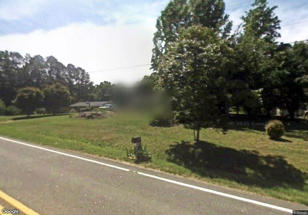
5408 Leesville Rd Durham, NC 27703
Eastern Durham NeighborhoodEstimated Value: $274,000 - $416,000
3
Beds
2
Baths
1,256
Sq Ft
$275/Sq Ft
Est. Value
About This Home
This home is located at 5408 Leesville Rd, Durham, NC 27703 and is currently estimated at $345,346, approximately $274 per square foot. 5408 Leesville Rd is a home located in Durham County with nearby schools including Spring Valley Elementary School, John W Neal Middle School, and Southern School of Energy & Sustainability.
Ownership History
Date
Name
Owned For
Owner Type
Purchase Details
Closed on
Jun 28, 2000
Sold by
Erwin Jimmy R
Bought by
Oconnor Brian J and Oconnor Pi Hsia H
Current Estimated Value
Home Financials for this Owner
Home Financials are based on the most recent Mortgage that was taken out on this home.
Original Mortgage
$97,000
Outstanding Balance
$35,692
Interest Rate
8.63%
Mortgage Type
Seller Take Back
Estimated Equity
$309,654
Create a Home Valuation Report for This Property
The Home Valuation Report is an in-depth analysis detailing your home's value as well as a comparison with similar homes in the area
Home Values in the Area
Average Home Value in this Area
Purchase History
| Date | Buyer | Sale Price | Title Company |
|---|---|---|---|
| Oconnor Brian J | $100,000 | -- |
Source: Public Records
Mortgage History
| Date | Status | Borrower | Loan Amount |
|---|---|---|---|
| Open | Oconnor Brian J | $97,000 |
Source: Public Records
Tax History
| Year | Tax Paid | Tax Assessment Tax Assessment Total Assessment is a certain percentage of the fair market value that is determined by local assessors to be the total taxable value of land and additions on the property. | Land | Improvement |
|---|---|---|---|---|
| 2025 | $2,048 | $277,912 | $134,750 | $143,162 |
| 2024 | $1,501 | $134,742 | $65,125 | $69,617 |
| 2023 | $1,442 | $134,742 | $65,125 | $69,617 |
| 2022 | $1,395 | $134,742 | $65,125 | $69,617 |
| 2021 | $1,182 | $134,742 | $65,125 | $69,617 |
| 2020 | $1,155 | $134,742 | $65,125 | $69,617 |
| 2019 | $1,141 | $134,742 | $65,125 | $69,617 |
| 2018 | $979 | $106,065 | $46,050 | $60,015 |
| 2017 | $947 | $106,065 | $46,050 | $60,015 |
| 2016 | $918 | $106,065 | $46,050 | $60,015 |
| 2015 | $988 | $91,980 | $23,082 | $68,898 |
| 2014 | $993 | $91,980 | $23,082 | $68,898 |
Source: Public Records
Map
Nearby Homes
- 1136 Salford Ct
- 1128 Salford Ct
- 1132 Salford Ct
- 702 Blackpool Dr
- 1116 Salford Ct
- 712 Blackpool Dr
- 704 Blackpool Dr
- 2000 Grimsby Ct
- SINGLE FAMILY | Capri Plan at The Courtyards at Oak Grove - Single Family Homes
- TOWNHOME | Cambridge Plan at The Courtyards at Oak Grove - Townhomes
- SINGLE FAMILY | Palazzo Plan at The Courtyards at Oak Grove - Single Family Homes
- CARRIAGE | Cambridge Plan at The Courtyards at Oak Grove - Single Family Homes
- CARRIAGE | Gladstone Plan at The Courtyards at Oak Grove - Single Family Homes
- TOWNHOME | Oxford Plan at The Courtyards at Oak Grove - Townhomes
- SINGLE FAMILY | Promenade Plan at The Courtyards at Oak Grove - Single Family Homes
- SINGLE FAMILY | Portico Plan at The Courtyards at Oak Grove - Single Family Homes
- SINGLE FAMILY | Torino Plan at The Courtyards at Oak Grove - Single Family Homes
- SINGLE FAMILY | Verona Plan at The Courtyards at Oak Grove - Single Family Homes
- CARRIAGE | Rockaway Plan at The Courtyards at Oak Grove - Single Family Homes
- CARRIAGE | Kingston Plan at The Courtyards at Oak Grove - Single Family Homes
- 5412 Leesville Rd
- 5409 Leesville Rd
- 5405 Leesville Rd
- 5413 Leesville Rd
- 5401 Leesville Rd
- 5310 Leesville Rd Unit na
- 5310 Leesville Rd
- 5417 Leesville Rd
- 2105 Adventure Trail
- 5319 Summer Rose Ln
- 5306 Summer Rose Ln
- 2030 Panoramic Dr
- 5214 Leesville Rd
- 2130 Adventure Trail
- 5313 Leesville Rd
- 5221 Leesville Rd
- 2010 Doc Nichols Rd
- 5300 Summer Rose Ln
- 3000 Doc Nichols Rd
- 2012 Doc Nichols Rd
Your Personal Tour Guide
Ask me questions while you tour the home.