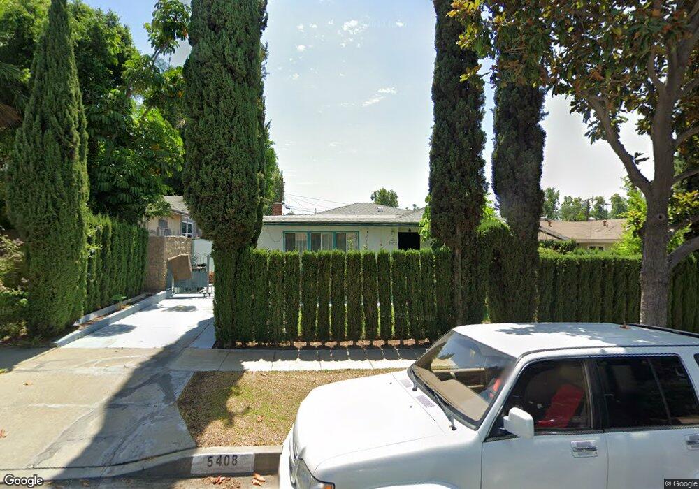
5408 Mavis Ave Whittier, CA 90601
West Whittier NeighborhoodEstimated Value: $926,000 - $974,000
About This Home
This home is located at 5408 Mavis Ave, Whittier, CA 90601 and is currently estimated at $951,662, approximately $461 per square foot. 5408 Mavis Ave is a home located in Los Angeles County with nearby schools including Orange Grove Elementary School, Walter F. Dexter Middle School, and Whittier High School.
Ownership History
We collect this data history from publicly available records. To have your information removed, we recommend requesting removal directly through your county’s website.
Purchase Details
Purchase Details
Purchase Details
Home Values in the Area
Average Home Value in this Area
Purchase History
We collect this data history from publicly available records. To have your information removed, we recommend requesting removal directly through your county’s website.
| Date | Buyer | Sale Price | Title Company |
|---|---|---|---|
| -- | None Available | ||
| -- | None Available | ||
| -- | None Available |
Tax History
We collect this data history from publicly available records. To have your information removed, we recommend requesting removal directly through your county’s website.
| Year | Tax Paid | Tax Assessment Tax Assessment Total Assessment is a certain percentage of the fair market value that is determined by local assessors to be the total taxable value of land and additions on the property. | Land | Improvement |
|---|---|---|---|---|
| 2025 | $6,400 | $466,452 | $267,583 | $198,869 |
| 2024 | $5,869 | $457,307 | $262,337 | $194,970 |
| 2023 | $5,795 | $448,342 | $257,194 | $191,148 |
| 2022 | $5,676 | $439,551 | $252,151 | $187,400 |
| 2021 | $5,561 | $430,933 | $247,207 | $183,726 |
| 2019 | $5,443 | $418,154 | $239,876 | $178,278 |
| 2018 | $5,282 | $409,956 | $235,173 | $174,783 |
| 2016 | $5,047 | $394,039 | $226,042 | $167,997 |
| 2015 | $4,956 | $388,121 | $222,647 | $165,474 |
| 2014 | $4,910 | $380,519 | $218,286 | $162,233 |
Map
- 10602 Monaco Ct
- 5305 Davidson Dr
- 10605 Cordoba Ct
- 5522 Norwalk Blvd
- 5519 Pioneer Blvd Unit 42
- 10336 Floral Dr
- 5577 Pioneer Blvd Unit 9
- 11837 Rideout Way
- 5903 Redman Ave
- 1 Grande Vista Dr
- 5816 Juarez Ave
- 5814 Juarez Ave
- 11325 Howard St
- 10608 Whittier Blvd
- 6028 Mcnees Ave
- 12408 Carinthia Dr
- 3832 Abbeywood Ave
- 4512 Workman Mill Rd Unit 124
- 12202 Orange Dr
- 6217 Norwalk Blvd
- 5414 Mavis Ave
- 5402 Mavis Ave
- 5418 Mavis Ave
- 5409 Rockne Ave
- 5403 Rockne Ave
- 5413 Rockne Ave
- 5424 Mavis Ave
- 5419 Rockne Ave
- 5409 Mavis Ave
- 5413 Mavis Ave
- 5403 Mavis Ave
- 5425 Rockne Ave
- 5419 Mavis Ave
- 10638 Deveron Dr
- 5425 Mavis Ave
- 5431 Rockne Ave
- 5436 Mavis Ave
- 10531 Beverly Blvd
- 5427 Mavis Ave
- 10632 Deveron Dr
Ask me questions while you tour the home.