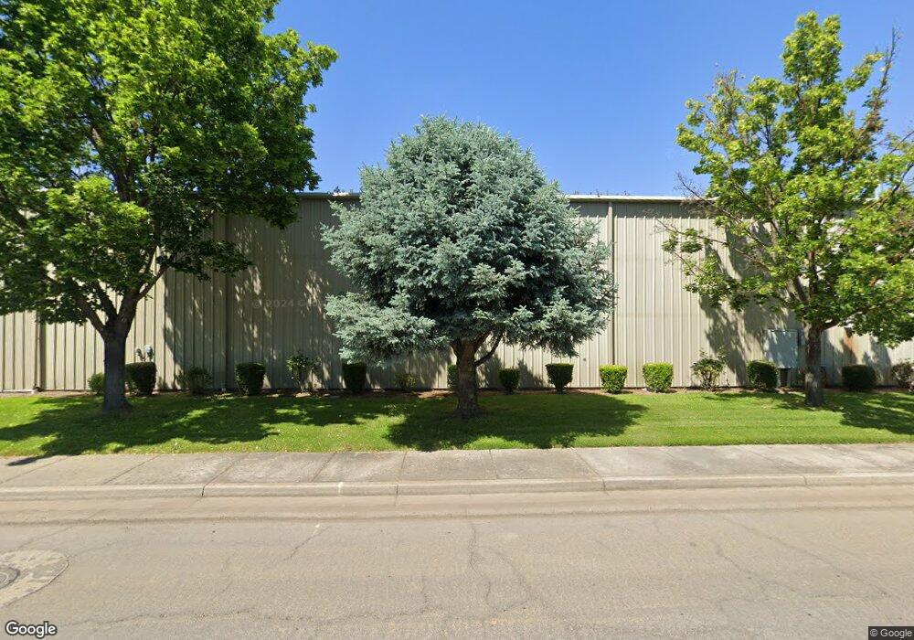
5409 Bierson Way Central Point, OR 97502
Estimated Value: $1,415,921
--
Bed
--
Bath
10,500
Sq Ft
$135/Sq Ft
Est. Value
About This Home
This home is located at 5409 Bierson Way, Central Point, OR 97502 and is currently estimated at $1,415,921, approximately $134 per square foot. 5409 Bierson Way is a home located in Jackson County with nearby schools including Sams Valley Elementary School, Scenic Middle School, and Crater High School.
Ownership History
Date
Name
Owned For
Owner Type
Purchase Details
Closed on
Feb 1, 2023
Sold by
Phillips Deborah
Bought by
B-Block Llc
Current Estimated Value
Home Financials for this Owner
Home Financials are based on the most recent Mortgage that was taken out on this home.
Original Mortgage
$1,200,000
Outstanding Balance
$1,115,600
Interest Rate
6.27%
Mortgage Type
Seller Take Back
Estimated Equity
$300,321
Purchase Details
Closed on
Feb 4, 2010
Sold by
Phillips Daniel M and Phillips Deborah
Bought by
Phillips Daniel and Phillips Deborah
Purchase Details
Closed on
Nov 3, 2009
Sold by
Casebier Donald E and Casebier Daniel
Bought by
Casebros Llc
Purchase Details
Closed on
Apr 19, 2002
Sold by
Phillips Daniel M and Phillips Deborah
Bought by
Phillips Daniel M and Phillips Deborah
Purchase Details
Closed on
Jul 19, 1999
Sold by
Bendickson Lloyd A
Bought by
Phillips Daniel M and Phillips Deborah
Home Financials for this Owner
Home Financials are based on the most recent Mortgage that was taken out on this home.
Original Mortgage
$325,500
Interest Rate
7.51%
Mortgage Type
Purchase Money Mortgage
Create a Home Valuation Report for This Property
The Home Valuation Report is an in-depth analysis detailing your home's value as well as a comparison with similar homes in the area
Home Values in the Area
Average Home Value in this Area
Purchase History
| Date | Buyer | Sale Price | Title Company |
|---|---|---|---|
| B-Block Llc | $1,300,000 | Ticor Title | |
| Phillips Daniel | -- | Accommodation | |
| Casebros Llc | -- | Accommodation | |
| Phillips Daniel M | -- | -- | |
| Phillips Daniel M | $95,000 | Crater Title Insurance |
Source: Public Records
Mortgage History
| Date | Status | Borrower | Loan Amount |
|---|---|---|---|
| Open | B-Block Llc | $1,200,000 | |
| Previous Owner | Phillips Daniel M | $325,500 |
Source: Public Records
Tax History Compared to Growth
Tax History
| Year | Tax Paid | Tax Assessment Tax Assessment Total Assessment is a certain percentage of the fair market value that is determined by local assessors to be the total taxable value of land and additions on the property. | Land | Improvement |
|---|---|---|---|---|
| 2025 | $10,331 | $717,500 | $126,810 | $590,690 |
| 2024 | $10,331 | $696,610 | $123,120 | $573,490 |
| 2023 | $9,994 | $676,330 | $119,530 | $556,800 |
| 2022 | $9,769 | $676,330 | $119,530 | $556,800 |
| 2021 | $9,491 | $656,640 | $116,050 | $540,590 |
| 2020 | $9,602 | $637,520 | $112,670 | $524,850 |
| 2019 | $9,027 | $600,940 | $106,200 | $494,740 |
| 2018 | $8,751 | $573,080 | $101,280 | $471,800 |
| 2017 | $8,418 | $573,080 | $101,280 | $471,800 |
| 2016 | $7,879 | $516,510 | $91,280 | $425,230 |
| 2015 | $8,300 | $555,100 | $98,100 | $457,000 |
| 2014 | $8,063 | $533,950 | $94,360 | $439,590 |
Source: Public Records
Map
Nearby Homes
- 5156 Peace Ln
- 4824 Airway Dr Unit 371W06BB410
- 225 Wilson Rd
- 4676 Industry Dr
- 862 Enterprise Dr
- 1182 E Justice Rd
- 4702 Industry Dr
- 2598 St James Way
- 1141 Helicopter Way
- 1250 Vilas Rd
- 1151 Helicopter Way
- 2330 Savannah Dr
- 4595 Table Rock Rd
- 2248 Evan Way
- 5011 Highway 62
- 4399 Table Rock Rd
- 2225 New Haven Dr
- 2035 Rabun Way
- 705 Mountain Ave
- 2770 Parkwood Village Ln
- 5340 Bierson Way
- 5429 Bierson Way
- 0 Bierson Way
- 5361 Bierson Way
- 5408 Bierson Way
- 5350 Bounty Ln
- 5350 Bounty Ln
- 5408 Bierson Way
- 5360 Bierson Way
- 5428 Bierson Way
- 5360 Bierson Way
- 5428 Bierson Way
- 5341 Bierson Way
- 5429 Bierson Way -Lot4
- 5449 Bierson Way
- 5469 Bierson Way
- 5449 Bierson
- 0 Bounty Ln
- 5330 Bounty Ln
- 5448 Bierson Way