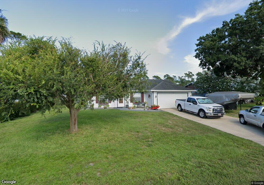
5409 Flint Rd Cocoa, FL 32927
Port Saint John AreaEstimated Value: $283,782 - $312,000
About This Home
This home is located at 5409 Flint Rd, Cocoa, FL 32927 and is currently estimated at $301,446, approximately $227 per square foot. 5409 Flint Rd is a home located in Brevard County with nearby schools including Enterprise Elementary School, Space Coast Junior/Senior High School, and East Atlantic Prep of Brevard County.
Ownership History
We collect this data history from publicly available records. To have your information removed, we recommend requesting removal directly through your county’s website.
Purchase Details
Home Financials for this Owner
Home Financials are based on the most recent Mortgage that was taken out on this home.Home Values in the Area
Average Home Value in this Area
Purchase History
We collect this data history from publicly available records. To have your information removed, we recommend requesting removal directly through your county’s website.
| Date | Buyer | Sale Price | Title Company |
|---|---|---|---|
| -- | -- |
Mortgage History
We collect this data history from publicly available records. To have your information removed, we recommend requesting removal directly through your county’s website.
| Date | Status | Borrower | Loan Amount |
|---|---|---|---|
| Closed | $32,000 |
Tax History
We collect this data history from publicly available records. To have your information removed, we recommend requesting removal directly through your county’s website.
| Year | Tax Paid | Tax Assessment Tax Assessment Total Assessment is a certain percentage of the fair market value that is determined by local assessors to be the total taxable value of land and additions on the property. | Land | Improvement |
|---|---|---|---|---|
| 2025 | $994 | $80,110 | ||
| 2024 | $1,041 | $77,860 | ||
| 2023 | $1,041 | $75,600 | $0 | $0 |
| 2022 | $976 | $73,400 | $0 | $0 |
| 2021 | $979 | $71,270 | $0 | $0 |
| 2020 | $933 | $70,290 | $0 | $0 |
| 2019 | $881 | $68,710 | $0 | $0 |
| 2018 | $882 | $67,430 | $0 | $0 |
| 2017 | $884 | $66,050 | $0 | $0 |
| 2016 | $892 | $64,700 | $18,000 | $46,700 |
| 2015 | $899 | $64,260 | $15,000 | $49,260 |
| 2014 | $904 | $63,750 | $11,000 | $52,750 |
Map
- 5424 Flint Rd
- 6442 Fairchild Ave
- 6450 Ember Ave
- 6560 Dock Ave
- 5525 Fairbridge St
- 6570 Dock Ave
- 5530 Fairbridge St
- 6460 Irving Rd
- 5380 Fay Blvd
- 6615 Dock Ave
- 00 Unknown
- 6574 Haven Ave
- 6581 Bancroft Ave
- 6614 Haven Ave
- 6392 Hudson Rd
- 6570 Bancroft Ave
- No Access W
- 5685 Beaverbrook St
- 6592 Emil Ave
- 6643 Emil Ave
- 5417 Flint Rd
- 5401 Flint Rd
- 6490 Fairchild Ave
- 6466 Fairchild Ave
- 5408 Flint Rd
- 5400 Fruitport St
- 5400 Flint Rd
- 5416 Flint Rd
- 5425 Flint Rd
- 6454 Fairchild Ave
- 5350 Fruitport St
- 5340 Fruitport St
- 5360 Fruitport St
- 0 Fairchild Ave
- 5330 Fruitport St
- 6491 Fairchild Ave
- 5370 Fruitport St
- 6455 Gillette Ave
- 6473 Fairchild Ave
- 5385 Fruitport St
Ask me questions while you tour the home.