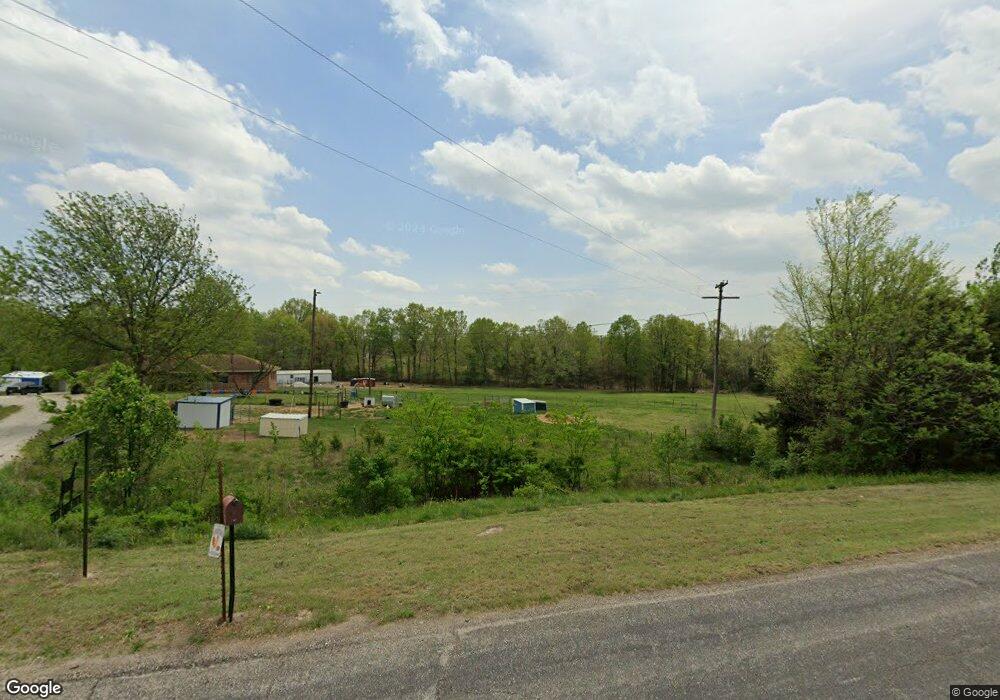
5409 Route C Lohman, MO 65053
Estimated Value: $295,000 - $370,529
3
Beds
2
Baths
1,232
Sq Ft
$278/Sq Ft
Est. Value
About This Home
This home is located at 5409 Route C, Lohman, MO 65053 and is currently estimated at $342,176, approximately $277 per square foot. 5409 Route C is a home located in Cole County with nearby schools including Cedar Hill Elementary School, Lewis & Clark Middle School, and Jefferson City High School.
Ownership History
Date
Name
Owned For
Owner Type
Purchase Details
Closed on
Apr 4, 2019
Sold by
Distler Joe and Distler Sally
Bought by
Jennings Christina M and Jennings Nancy A
Current Estimated Value
Home Financials for this Owner
Home Financials are based on the most recent Mortgage that was taken out on this home.
Original Mortgage
$204,000
Outstanding Balance
$179,713
Interest Rate
4.4%
Mortgage Type
New Conventional
Estimated Equity
$162,463
Create a Home Valuation Report for This Property
The Home Valuation Report is an in-depth analysis detailing your home's value as well as a comparison with similar homes in the area
Home Values in the Area
Average Home Value in this Area
Purchase History
| Date | Buyer | Sale Price | Title Company |
|---|---|---|---|
| Jennings Christina M | -- | -- |
Source: Public Records
Mortgage History
| Date | Status | Borrower | Loan Amount |
|---|---|---|---|
| Open | Jennings Christina M | $204,000 |
Source: Public Records
Tax History
| Year | Tax Paid | Tax Assessment Tax Assessment Total Assessment is a certain percentage of the fair market value that is determined by local assessors to be the total taxable value of land and additions on the property. | Land | Improvement |
|---|---|---|---|---|
| 2025 | $1,470 | $27,280 | $3,790 | $23,490 |
| 2024 | $15 | $24,600 | $0 | $24,600 |
| 2023 | $1,471 | $24,600 | $0 | $24,600 |
| 2022 | $1,475 | $24,600 | $0 | $24,600 |
| 2021 | $1,483 | $24,600 | $0 | $24,600 |
| 2020 | $1,504 | $32,900 | $3,790 | $29,110 |
| 2019 | $1,462 | $31,969 | $3,790 | $28,179 |
| 2018 | $1,393 | $24,630 | $3,814 | $20,816 |
| 2017 | $1,359 | $24,630 | $3,814 | $20,816 |
| 2016 | -- | $24,630 | $3,814 | $20,816 |
| 2015 | $1,152 | $0 | $0 | $0 |
| 2014 | $1,152 | $24,833 | $3,914 | $20,919 |
Source: Public Records
Map
Nearby Homes
- 2710 Cantaberry Dr
- 2704 Covey Ln
- 2853 Foxdale Dr
- 5421 Collier Ln
- 5401 Collier Ln
- 5213 Collier Ct
- 1630 Westview Dr
- 5305 Bagnall Dr
- 5728 Summerbrook Dr
- 4016 Oxford Rd
- 1702 S Country Club Dr
- 5210 Shadow Ct
- 5514 Thornridge Dr
- 1420 Biscayne Dr
- 5423 Kenview Dr
- 1413 Biscayne Dr
- 3807 Buckingham Park
- 1325 Summerfield Dr
- 3741 Buckingham Park
- 3754 Rock Ridge Rd
- 5409 Route C
- 3629 S Country Club Dr
- 5411 Hemstreet Rd
- 5503 Hemstreet Rd
- 3207 Spring Ridge
- 5511 Hemstreet Rd
- 3625 S Country Club Dr
- 5410 Hemstreet Rd
- 5504 Hemstreet Rd
- 3605 S Country Club Dr
- 5517 Hemstreet Rd
- 5518 Hemstreet Rd
- 5228 Route C
- 5303 Zion Rd
- 5607 State Route C
- 5607 Hemstreet Rd
- 3111 Spring Ridge
- 5307 Zion Rd
- 5313 Zion Rd
- 5606 Hemstreet Rd
Your Personal Tour Guide
Ask me questions while you tour the home.