541 Beauregard Dr Macon, GA 31220
Lake Wildwood NeighborhoodEstimated Value: $181,433 - $191,000
3
Beds
2
Baths
1,495
Sq Ft
$124/Sq Ft
Est. Value
About This Home
This home is located at 541 Beauregard Dr, Macon, GA 31220 and is currently estimated at $185,108, approximately $123 per square foot. 541 Beauregard Dr is a home located in Bibb County with nearby schools including Heritage Elementary School, Weaver Middle School, and Westside High School.
Ownership History
Date
Name
Owned For
Owner Type
Purchase Details
Closed on
Jan 29, 2018
Sold by
George Assets Llc
Bought by
Hart Prentice
Current Estimated Value
Purchase Details
Closed on
Dec 6, 2016
Sold by
Prentice
Bought by
George Assets Llc
Purchase Details
Closed on
Apr 15, 2004
Bought by
Hart Prentice
Purchase Details
Closed on
Apr 13, 2004
Purchase Details
Closed on
Jul 1, 2003
Purchase Details
Closed on
Sep 30, 1999
Create a Home Valuation Report for This Property
The Home Valuation Report is an in-depth analysis detailing your home's value as well as a comparison with similar homes in the area
Home Values in the Area
Average Home Value in this Area
Purchase History
| Date | Buyer | Sale Price | Title Company |
|---|---|---|---|
| Hart Prentice | -- | None Available | |
| George Assets Llc | $882 | -- | |
| Hart Prentice | $89,000 | -- | |
| -- | $67,900 | -- | |
| -- | $87,400 | -- | |
| -- | $86,000 | -- |
Source: Public Records
Tax History Compared to Growth
Tax History
| Year | Tax Paid | Tax Assessment Tax Assessment Total Assessment is a certain percentage of the fair market value that is determined by local assessors to be the total taxable value of land and additions on the property. | Land | Improvement |
|---|---|---|---|---|
| 2025 | $1,442 | $58,662 | $7,360 | $51,302 |
| 2024 | $1,490 | $58,662 | $7,360 | $51,302 |
| 2023 | $1,340 | $52,743 | $7,360 | $45,383 |
| 2022 | $1,685 | $48,684 | $5,954 | $42,730 |
| 2021 | $1,500 | $39,461 | $5,954 | $33,507 |
| 2020 | $1,389 | $35,772 | $5,954 | $29,818 |
| 2019 | $1,374 | $35,100 | $5,954 | $29,146 |
| 2018 | $2,120 | $32,368 | $5,954 | $26,414 |
| 2017 | $1,076 | $28,724 | $5,954 | $22,770 |
| 2016 | $752 | $28,725 | $5,954 | $22,770 |
| 2015 | $1,064 | $28,725 | $5,954 | $22,770 |
| 2014 | $1,141 | $30,243 | $5,954 | $24,288 |
Source: Public Records
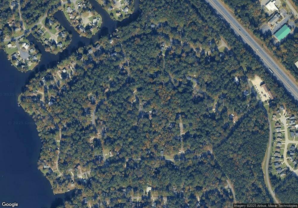
Map
Nearby Homes
- 1154 N Plantation Pkwy
- 1137 N Plantation Pkwy
- 200 Autumn Trace Ct
- 900 S Plantation Pkwy
- 210 Jefferson Park Dr
- 148 Ashford Trace Ln
- 260 Edgewater Dr
- 378 Fox Tail Dr
- 139 Ashford Trace Ln
- 578 Bristle Cone Dr
- 589 Bristle Cone Dr
- 565 Lacebark Dr
- 330 Greentree Pkwy
- 157 Greentree Pkwy
- 118 Ashford Park
- 543 Loblolly Ln
- 1225 Greentree Pkwy
- 6111 Peake Rd
- 637 Will Scarlet Way
- 427 Table Mountain Dr
- 537 Beauregard Dr
- 537 Beauregard Dr Unit 174
- 545 Beauregard Dr
- 555 Beauregard Dr
- 557 Beauregard Dr
- 553 Beauregard Dr
- 574 Chickamauga Dr
- 547 Beauregard Dr
- 531 Wilderness Dr
- 584 Chickamauga Dr
- 549 Beauregard Dr
- 594 Chickamauga Dr
- 554 Chickamauga Dr
- 1108 Stone Mountain Cir
- 1112 Stone Mountain Cir
- 529 Wilderness Dr
- 571 Wilderness Dr
- 542 Wilderness Dr
- 530 Wilderness Dr Unit III
- 534 Chickamauga Dr