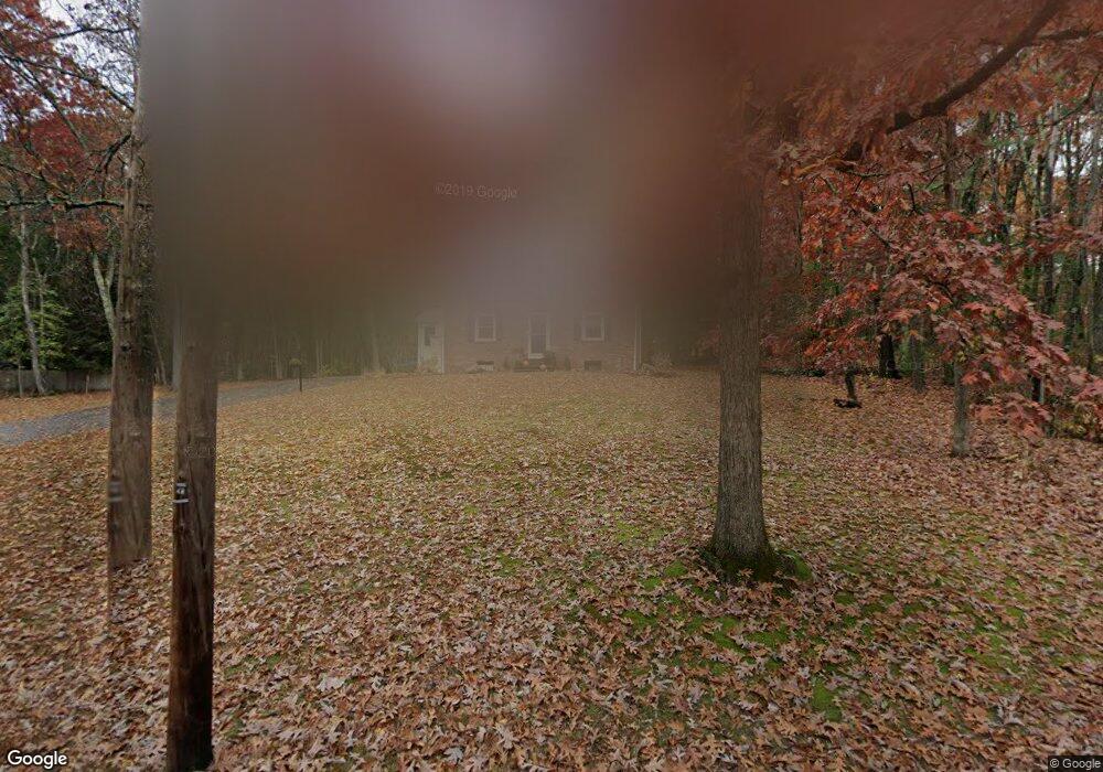
541 Flag Hill Rd Boxborough, MA 01719
Estimated Value: $681,000 - $695,000
4
Beds
3
Baths
1,568
Sq Ft
$438/Sq Ft
Est. Value
About This Home
This home is located at 541 Flag Hill Rd, Boxborough, MA 01719 and is currently estimated at $687,421, approximately $438 per square foot. 541 Flag Hill Rd is a home located in Middlesex County with nearby schools including Acton-Boxborough Regional High School and The Imago School.
Ownership History
Date
Name
Owned For
Owner Type
Purchase Details
Closed on
Dec 7, 2017
Sold by
Jordan Marsh 2006 Rt
Bought by
Morris Jocelyn and Morris Patrick
Current Estimated Value
Home Financials for this Owner
Home Financials are based on the most recent Mortgage that was taken out on this home.
Original Mortgage
$369,000
Outstanding Balance
$313,602
Interest Rate
3.94%
Mortgage Type
New Conventional
Estimated Equity
$373,819
Purchase Details
Closed on
Sep 19, 2007
Sold by
Brooks John D and Brooks Lois A
Bought by
Jordan Marsh Rt and Brooks John D
Create a Home Valuation Report for This Property
The Home Valuation Report is an in-depth analysis detailing your home's value as well as a comparison with similar homes in the area
Home Values in the Area
Average Home Value in this Area
Purchase History
| Date | Buyer | Sale Price | Title Company |
|---|---|---|---|
| Morris Jocelyn | $410,000 | -- | |
| Jordan Marsh Rt | -- | -- |
Source: Public Records
Mortgage History
| Date | Status | Borrower | Loan Amount |
|---|---|---|---|
| Open | Morris Jocelyn | $369,000 |
Source: Public Records
Tax History
| Year | Tax Paid | Tax Assessment Tax Assessment Total Assessment is a certain percentage of the fair market value that is determined by local assessors to be the total taxable value of land and additions on the property. | Land | Improvement |
|---|---|---|---|---|
| 2025 | $8,889 | $587,100 | $294,600 | $292,500 |
| 2024 | $8,292 | $553,200 | $283,200 | $270,000 |
| 2023 | $7,415 | $477,800 | $233,400 | $244,400 |
| 2022 | $7,402 | $424,900 | $233,400 | $191,500 |
| 2020 | $6,805 | $407,000 | $233,400 | $173,600 |
| 2019 | $6,683 | $407,000 | $233,400 | $173,600 |
| 2018 | $146 | $347,200 | $222,500 | $124,700 |
| 2017 | $5,678 | $337,800 | $222,500 | $115,300 |
| 2016 | $5,433 | $332,100 | $222,500 | $109,600 |
| 2015 | $5,117 | $307,300 | $200,300 | $107,000 |
| 2014 | $5,151 | $291,200 | $194,500 | $96,700 |
Source: Public Records
Map
Nearby Homes
- 77 Wheeler Dr Unit 77
- 20 Lyons Ln Unit 20
- 247 W Acton Rd
- 30-6 Taylor Rd
- 92 Willow St Unit 3
- 92 Willow St Unit 2
- 90 Willow St Unit 1
- 53 Sylvan Dr
- 285 Central St Unit 285
- 15 Crescent St
- 414 Great Rd
- 34 Meeting House Ln Unit 208
- 71 Liberty St
- 310 Codman Hill Rd Unit 35D
- 9 Cortland Dr Unit 9
- 53 Swanson Ct Unit 24C
- 15 Spencer Rd Unit 12E
- 12 Patti Ln
- 13 Pine Hill Way
- 220 Swanson Rd Unit 605
- 541 Flagg Hill Rd
- 40 Richardson Rd
- 567 Flag Hill Rd
- 480 Flag Hill Rd
- 515 Flag Hill Rd
- 56 Richardson Rd
- 662 Stow Rd
- 540 Flag Hill Rd
- 587 Flagg Hill Rd
- 587 Flag Hill Rd
- 580 Flag Hill Rd
- 43 Richardson Rd
- 7 Richardson Rd
- 15 Fifers Ln
- 77 Richardson Rd
- 27 Fifers Ln
- 620 Stow Rd
- 491 Flag Hill Rd
- 631 Stow Rd
- 31 Fifers Ln
Your Personal Tour Guide
Ask me questions while you tour the home.