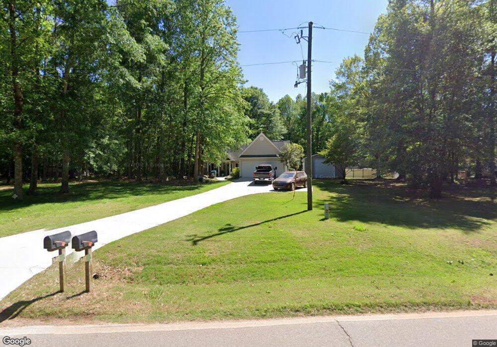
541 Grove Level Rd Commerce, GA 30529
Estimated Value: $320,000 - $486,000
3
Beds
3
Baths
1,892
Sq Ft
$204/Sq Ft
Est. Value
About This Home
This home is located at 541 Grove Level Rd, Commerce, GA 30529 and is currently estimated at $385,780, approximately $203 per square foot. 541 Grove Level Rd is a home located in Banks County with nearby schools including Banks County Primary School, Banks County Elementary School, and Banks County Middle School.
Ownership History
Date
Name
Owned For
Owner Type
Purchase Details
Closed on
Aug 14, 2006
Sold by
Murray Joe
Bought by
Martinez Karyn Tyler
Current Estimated Value
Home Financials for this Owner
Home Financials are based on the most recent Mortgage that was taken out on this home.
Original Mortgage
$130,400
Outstanding Balance
$77,093
Interest Rate
6.67%
Mortgage Type
New Conventional
Estimated Equity
$308,687
Create a Home Valuation Report for This Property
The Home Valuation Report is an in-depth analysis detailing your home's value as well as a comparison with similar homes in the area
Home Values in the Area
Average Home Value in this Area
Purchase History
We collect this data history from publicly available records. To have your information removed, we recommend requesting removal directly through your county’s website.
| Date | Buyer | Sale Price | Title Company |
|---|---|---|---|
| Martinez Karyn Tyler | $163,000 | -- |
Source: Public Records
Mortgage History
We collect this data history from publicly available records. To have your information removed, we recommend requesting removal directly through your county’s website.
| Date | Status | Borrower | Loan Amount |
|---|---|---|---|
| Open | Martinez Karyn Tyler | $130,400 | |
| Closed | Martinez Karyn Tyler | $32,600 |
Source: Public Records
Tax History
| Year | Tax Paid | Tax Assessment Tax Assessment Total Assessment is a certain percentage of the fair market value that is determined by local assessors to be the total taxable value of land and additions on the property. | Land | Improvement |
|---|---|---|---|---|
| 2025 | $2,444 | $127,997 | $14,634 | $113,363 |
| 2024 | $2,444 | $119,114 | $10,840 | $108,274 |
| 2023 | $2,347 | $107,334 | $10,840 | $96,494 |
| 2022 | $1,707 | $81,228 | $4,260 | $76,968 |
| 2021 | $1,633 | $73,105 | $4,260 | $68,845 |
| 2020 | $1,501 | $65,442 | $4,260 | $61,182 |
| 2019 | $1,508 | $65,442 | $4,260 | $61,182 |
| 2018 | $1,408 | $60,108 | $4,260 | $55,848 |
| 2017 | $1,418 | $58,030 | $4,260 | $53,770 |
| 2016 | $1,370 | $54,496 | $4,260 | $50,236 |
| 2015 | $1,286 | $54,496 | $4,260 | $50,236 |
| 2014 | $1,286 | $54,496 | $4,260 | $50,236 |
| 2013 | -- | $54,496 | $4,260 | $50,236 |
Source: Public Records
Map
Nearby Homes
- 139 Bell Acres Rd
- 0 McDonald Cir Unit 7694829
- 259 E Ridgeway Rd
- 1851 Yarbrough Ridgeway Rd
- 0 Steven B Tanger Blvd Unit 18091877
- 20352 Highway 441 S
- 0 Eisenhower Dr
- 711 W Ridgeway Rd
- 840 Haggard Rd
- 197 Ridgeland Dr
- 163 Ridgeland Dr
- 606 Beck Rd
- 234 Jade Way
- 1262 Ridgeway Church Rd
- 156 Bel Air Dr
- 116 Valley View Dr
- 142 Holland Dam Dr
- 439 Oak Ridge Dr
- 5830 Maysville Rd
- 144 Chestnut Trail
- 543 Grove Level Rd
- 517 Grove Level Rd
- 561 Grove Level Rd
- 500 Grove Level Rd
- 574 Grove Level Rd
- 461 Grove Level Rd
- 190 Loggins Ln
- 439 Grove Level Rd
- 419 Grove Level Rd
- 188 Loggins Ln
- 630 Grove Level Rd
- 520 Grove Level Rd
- 399 Grove Level Rd
- 644 Grove Level Rd
- 383 Grove Level Rd
- 680 Grove Level Rd
- 138 Loggins Trail
- 0 Loggins Ln Unit CM966857
- 0 Loggins Ln Unit CM966858
- 0 Loggins Ln Unit CM966859
Your Personal Tour Guide
Ask me questions while you tour the home.