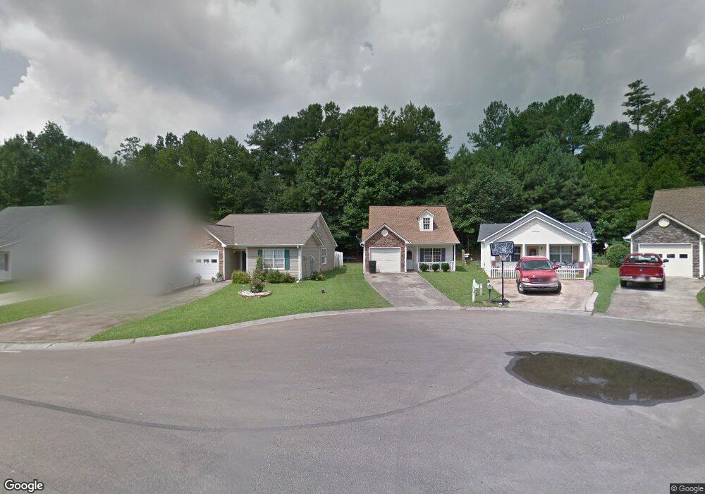
541 Lakeview Dr Unit 20 Canton, GA 30114
New Town NeighborhoodEstimated Value: $234,408 - $315,000
2
Beds
2
Baths
1,148
Sq Ft
$230/Sq Ft
Est. Value
About This Home
This home is located at 541 Lakeview Dr Unit 20, Canton, GA 30114 and is currently estimated at $264,102, approximately $230 per square foot. 541 Lakeview Dr Unit 20 is a home located in Cherokee County with nearby schools including R. M. Moore Elementary School, Teasley Middle School, and Cherokee High School.
Ownership History
Date
Name
Owned For
Owner Type
Purchase Details
Closed on
Nov 30, 2017
Sold by
Martin Connie
Bought by
Doss Investment Partners Lp
Current Estimated Value
Purchase Details
Closed on
Jul 12, 2001
Sold by
Poole Cynthia F C
Bought by
Martin Connie
Home Financials for this Owner
Home Financials are based on the most recent Mortgage that was taken out on this home.
Original Mortgage
$101,900
Interest Rate
7.08%
Mortgage Type
FHA
Purchase Details
Closed on
Jun 15, 1998
Sold by
Etowah Homes Inc
Bought by
Clark Cynthia G
Home Financials for this Owner
Home Financials are based on the most recent Mortgage that was taken out on this home.
Original Mortgage
$81,050
Interest Rate
7.14%
Mortgage Type
New Conventional
Create a Home Valuation Report for This Property
The Home Valuation Report is an in-depth analysis detailing your home's value as well as a comparison with similar homes in the area
Home Values in the Area
Average Home Value in this Area
Purchase History
| Date | Buyer | Sale Price | Title Company |
|---|---|---|---|
| Doss Investment Partners Lp | $125,000 | -- | |
| Martin Connie | $103,500 | -- | |
| Clark Cynthia G | $83,600 | -- |
Source: Public Records
Mortgage History
| Date | Status | Borrower | Loan Amount |
|---|---|---|---|
| Previous Owner | Martin Connie | $101,900 | |
| Previous Owner | Clark Cynthia G | $81,050 |
Source: Public Records
Tax History Compared to Growth
Tax History
| Year | Tax Paid | Tax Assessment Tax Assessment Total Assessment is a certain percentage of the fair market value that is determined by local assessors to be the total taxable value of land and additions on the property. | Land | Improvement |
|---|---|---|---|---|
| 2024 | $1,614 | $56,400 | $8,589 | $47,811 |
| 2023 | $1,614 | $56,400 | $8,590 | $47,810 |
| 2022 | $1,619 | $56,400 | $8,590 | $47,810 |
| 2021 | $1,732 | $56,796 | $11,440 | $45,356 |
| 2020 | $1,591 | $52,120 | $10,400 | $41,720 |
| 2019 | $1,515 | $49,600 | $10,400 | $39,200 |
| 2018 | $1,359 | $44,240 | $9,600 | $34,640 |
| 2017 | $862 | $96,700 | $6,800 | $31,880 |
| 2016 | $862 | $90,300 | $6,800 | $29,320 |
| 2015 | $777 | $81,300 | $6,800 | $25,720 |
| 2014 | $903 | $75,300 | $6,800 | $23,320 |
Source: Public Records
Map
Nearby Homes
- 220 Riverstone Place
- 257 Riverstone Place Unit 55
- 213 Riverstone Commons Cir
- 212 Riverstone Commons Cir
- 619 Elmwood St
- 6 Lots Riverstone Commons Cir
- 540 Hospital Rd
- 621 Elmwood St
- 700 Hospital Rd
- 61 Daisy Cir
- 100 Daisy Cir
- 70 Daisy Cir
- 80 Daisy Cir
- 560 Waleska Rd
- 550 Waleska Rd
- 0 Theodore Cox Cir Unit 7483543
- 0 Lake St Unit 10599928
- 0 Lake St Unit 7637074
- 541 Lakeview Dr Unit II
- 551 Lakeview Dr
- 531 Lakeview Dr
- 521 Lakeview Dr
- 561 Lakeview Dr
- 511 Lakeview Dr
- 571 Lakeview Dr
- 581 Lakeview Dr
- 591 Lakeview Dr
- 501 Lakeview Dr Unit 2
- 550 Lakeview Dr
- 540 Lakeview Dr Unit 2
- 530 Lakeview Dr
- 0 Brookside Way
- 520 Lakeview Dr
- 510 Lakeview Dr Unit 2
- 500 Lakeview Dr
- 301 Brookside Way
- 301 Brookside Way Unit 301
- 303 Brookside Way