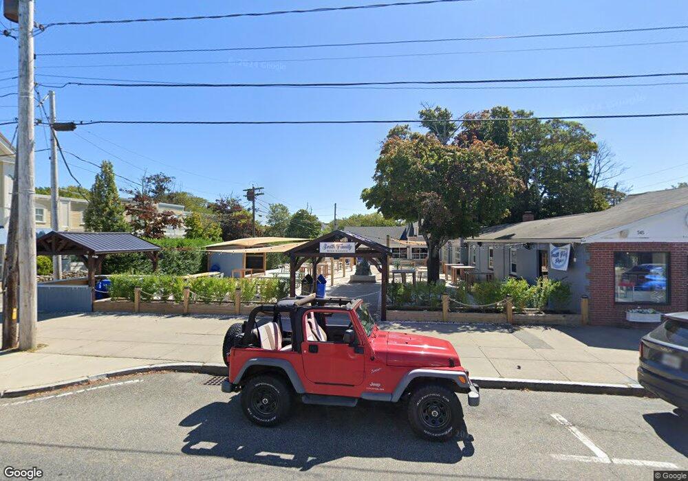
541 Main St Unit B Hyannis, MA 02601
Estimated Value: $2,264,749
--
Bed
--
Bath
560
Sq Ft
$4,044/Sq Ft
Est. Value
About This Home
This home is located at 541 Main St Unit B, Hyannis, MA 02601 and is currently estimated at $2,264,749, approximately $4,044 per square foot. 541 Main St Unit B is a home located in Barnstable County with nearby schools including Hyannis West Elementary School, Barnstable United Elementary School, and Barnstable Intermediate School.
Ownership History
Date
Name
Owned For
Owner Type
Purchase Details
Closed on
Nov 24, 2006
Sold by
Courtyard Marketplace and Courtyard Rosenfield
Bought by
Seahorse Rt and Rosenfield
Current Estimated Value
Home Financials for this Owner
Home Financials are based on the most recent Mortgage that was taken out on this home.
Original Mortgage
$600,000
Outstanding Balance
$360,315
Interest Rate
6.39%
Mortgage Type
Commercial
Estimated Equity
$1,904,434
Create a Home Valuation Report for This Property
The Home Valuation Report is an in-depth analysis detailing your home's value as well as a comparison with similar homes in the area
Home Values in the Area
Average Home Value in this Area
Purchase History
| Date | Buyer | Sale Price | Title Company |
|---|---|---|---|
| Seahorse Rt | -- | -- | |
| Seahorse Rt | -- | -- |
Source: Public Records
Mortgage History
| Date | Status | Borrower | Loan Amount |
|---|---|---|---|
| Open | Seahorse Rt | $135,000 | |
| Open | Seahorse Rt | $600,000 | |
| Closed | Seahorse Rt | $600,000 |
Source: Public Records
Tax History Compared to Growth
Tax History
| Year | Tax Paid | Tax Assessment Tax Assessment Total Assessment is a certain percentage of the fair market value that is determined by local assessors to be the total taxable value of land and additions on the property. | Land | Improvement |
|---|---|---|---|---|
| 2025 | $12,302 | $1,035,700 | $247,300 | $788,400 |
| 2024 | $12,302 | $993,100 | $247,300 | $745,800 |
| 2023 | $0 | $993,500 | $247,300 | $746,200 |
| 2022 | $0 | $929,800 | $247,300 | $682,500 |
| 2021 | $0 | $866,800 | $247,300 | $619,500 |
| 2020 | $12,302 | $934,800 | $220,000 | $714,800 |
| 2019 | $12,620 | $934,800 | $220,000 | $714,800 |
| 2018 | $11,866 | $912,800 | $220,000 | $692,800 |
| 2017 | $11,483 | $912,800 | $220,000 | $692,800 |
| 2016 | $11,209 | $912,800 | $220,000 | $692,800 |
| 2015 | $10,327 | $860,600 | $211,400 | $649,200 |
Source: Public Records
Map
Nearby Homes
- 574 Main St
- 93 Sea St
- 65 Louis St Unit A
- 199 Hamden Cir
- 287 Ocean St Unit C2
- 287 Ocean St Unit 2 BLDG C
- 49 Center St
- 35 Pleasant St
- 72 Grove St
- 49 Snow Creek Dr
- 24 Betty's Pond Rd Unit 1K
- 24 Bettys Pond Rd Unit K
- 115 School St Unit W206
- 107 Channel Point Rd
- 28 Bumpus Rd
- 25 Ripple Cove Rd
- 381 Ocean St Unit 1
- 110 School St Unit E113
- 16 Iyanough Rd
- 178 Walnut St
- 541 Main St
- 557 Main St
- 557 Main St
- 555 Main St
- 529 Main St
- 33 Pine Ave
- 561 Main St Unit C
- 561 Main St Unit 561C
- 561 Main St
- 561 Main St Unit A
- 546 Main St
- 41 Pinewood Ave
- 569 Main St
- 569 Main St Unit D3
- 569 Main St Unit 9
- 569 Main St Unit 8
- 569 Main St Unit 7
- 569 Main St Unit 6
- 569 Main St Unit 5
- 569 Main St Unit 4