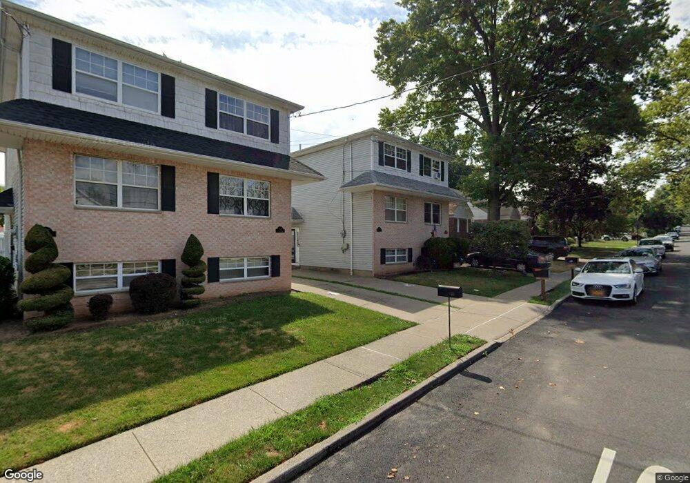
541 Oakland Ave Staten Island, NY 10310
West Brighton NeighborhoodEstimated Value: $593,243 - $798,000
--
Bed
4
Baths
1,222
Sq Ft
$580/Sq Ft
Est. Value
About This Home
This home is located at 541 Oakland Ave, Staten Island, NY 10310 and is currently estimated at $708,311, approximately $579 per square foot. 541 Oakland Ave is a home located in Richmond County with nearby schools including P.S. 45 John Tyler, Is 61 William A Morris, and Curtis High School.
Ownership History
Date
Name
Owned For
Owner Type
Purchase Details
Closed on
May 21, 2024
Sold by
Hunton Douglas A and Hunton Diana
Bought by
Hunton Family Trust and Hunton
Current Estimated Value
Purchase Details
Closed on
Jun 17, 1997
Sold by
Formica Construction Co Inc
Bought by
Hunton Douglas A and Hunton Diana
Home Financials for this Owner
Home Financials are based on the most recent Mortgage that was taken out on this home.
Original Mortgage
$90,000
Interest Rate
7.87%
Purchase Details
Closed on
Aug 19, 1996
Sold by
Mosquera Edward J and Portuesi Jane M
Bought by
Formica Construction Co Inc
Create a Home Valuation Report for This Property
The Home Valuation Report is an in-depth analysis detailing your home's value as well as a comparison with similar homes in the area
Home Values in the Area
Average Home Value in this Area
Purchase History
| Date | Buyer | Sale Price | Title Company |
|---|---|---|---|
| Hunton Family Trust | -- | Thompson Land Services | |
| Hunton Douglas A | $195,000 | -- | |
| Formica Construction Co Inc | $5,000 | -- | |
| Formica Construction Co Inc | $210,000 | -- |
Source: Public Records
Mortgage History
| Date | Status | Borrower | Loan Amount |
|---|---|---|---|
| Previous Owner | Hunton Douglas A | $90,000 |
Source: Public Records
Tax History Compared to Growth
Tax History
| Year | Tax Paid | Tax Assessment Tax Assessment Total Assessment is a certain percentage of the fair market value that is determined by local assessors to be the total taxable value of land and additions on the property. | Land | Improvement |
|---|---|---|---|---|
| 2025 | $4,929 | $39,300 | $7,704 | $31,596 |
| 2024 | $5,033 | $35,280 | $8,097 | $27,183 |
| 2023 | $2,073 | $28,238 | $7,689 | $20,549 |
| 2022 | $2,000 | $31,260 | $10,080 | $21,180 |
| 2021 | $2,081 | $31,800 | $10,080 | $21,720 |
| 2020 | $1,990 | $31,620 | $10,080 | $21,540 |
| 2019 | $4,647 | $26,640 | $10,080 | $16,560 |
| 2018 | $4,499 | $23,532 | $7,797 | $15,735 |
| 2017 | $4,226 | $22,200 | $10,080 | $12,120 |
| 2016 | $4,110 | $22,111 | $9,525 | $12,586 |
| 2015 | $3,472 | $20,860 | $10,988 | $9,872 |
| 2014 | $3,472 | $19,680 | $11,220 | $8,460 |
Source: Public Records
Map
Nearby Homes
- 152 Harvest Ave
- 100 Lawrence Ave
- 34 Harvest Ave
- 20 Baker Place
- 677 Bement Ave
- 605 Bard Ave
- 54 City Blvd
- 432 Pelton Ave
- 710 Oakland Ave
- 145 Norma Place
- 244 Delafield Ave
- 1 Whitewood Ave
- 751 Oakland Ave
- 372 Sharon Ave
- 386 N Burgher Ave
- 706 Broadway
- 1 Sunset Hill Dr
- 12 Freeman Place
- 54 Purcell St
- 335 Oakland Ave
- 539 Oakland Ave
- 545 Oakland Ave
- 537 Oakland Ave
- 535 Oakland Ave
- 549 Oakland Ave
- 568 Pelton Ave
- 562 Pelton Ave
- 572 Pelton Ave
- 578 Pelton Ave
- 540 Oakland Ave
- 544 Oakland Ave
- 557 Oakland Ave
- 534 Oakland Ave
- 548 Oakland Ave
- 107 Morrison Ave
- 105 Morrison Ave
- 109 Morrison Ave
- 103 Morrison Ave
- 99 Morrison Ave
- 552 Oakland Ave