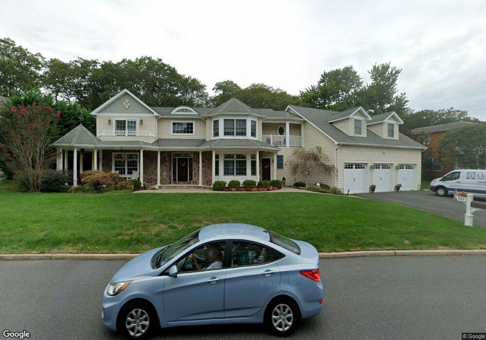
541 Old Mill Rd Spring Lake, NJ 07762
Estimated Value: $1,517,000 - $2,503,000
4
Beds
1
Bath
4,535
Sq Ft
$452/Sq Ft
Est. Value
About This Home
This home is located at 541 Old Mill Rd, Spring Lake, NJ 07762 and is currently estimated at $2,048,333, approximately $451 per square foot. 541 Old Mill Rd is a home located in Monmouth County with nearby schools including Spring Lake Heights Elementary School and St. Catharine School.
Ownership History
Date
Name
Owned For
Owner Type
Purchase Details
Closed on
Dec 2, 2004
Sold by
Ward Antoinette
Bought by
Pandolfo Lucy
Current Estimated Value
Home Financials for this Owner
Home Financials are based on the most recent Mortgage that was taken out on this home.
Original Mortgage
$498,750
Interest Rate
1%
Mortgage Type
Adjustable Rate Mortgage/ARM
Purchase Details
Closed on
Jul 2, 1998
Sold by
Leddy Lee
Bought by
Ward Antoinette
Create a Home Valuation Report for This Property
The Home Valuation Report is an in-depth analysis detailing your home's value as well as a comparison with similar homes in the area
Home Values in the Area
Average Home Value in this Area
Purchase History
| Date | Buyer | Sale Price | Title Company |
|---|---|---|---|
| Pandolfo Lucy | $665,000 | -- | |
| Ward Antoinette | $375,000 | -- |
Source: Public Records
Mortgage History
| Date | Status | Borrower | Loan Amount |
|---|---|---|---|
| Previous Owner | Pandolfo Lucy | $498,750 |
Source: Public Records
Tax History Compared to Growth
Tax History
| Year | Tax Paid | Tax Assessment Tax Assessment Total Assessment is a certain percentage of the fair market value that is determined by local assessors to be the total taxable value of land and additions on the property. | Land | Improvement |
|---|---|---|---|---|
| 2025 | $19,780 | $1,868,900 | $646,000 | $1,222,900 |
| 2024 | $19,223 | $1,878,400 | $666,000 | $1,212,400 |
| 2023 | $19,223 | $1,716,300 | $532,500 | $1,183,800 |
| 2022 | $18,249 | $1,555,800 | $424,700 | $1,131,100 |
| 2021 | $18,249 | $1,351,800 | $367,000 | $984,800 |
| 2020 | $17,256 | $1,270,700 | $367,000 | $903,700 |
| 2019 | $17,913 | $1,305,600 | $367,000 | $938,600 |
| 2018 | $17,913 | $1,270,400 | $393,300 | $877,100 |
| 2017 | $16,890 | $1,241,900 | $393,300 | $848,600 |
| 2016 | $14,405 | $1,046,100 | $393,300 | $652,800 |
| 2015 | $14,227 | $1,036,200 | $393,300 | $642,900 |
| 2014 | $14,504 | $1,080,000 | $393,300 | $686,700 |
Source: Public Records
Map
Nearby Homes
- 1301 Warren Ave Unit 5
- 2005 Nassau Dr
- 19 Willow Ln
- 2217 Old Mill Rd
- 817 Ocean Rd
- 530 Highway 71 Unit 4
- 613 Warren Ave
- 805 Jersey Ave
- 24 Old Mill Ct
- 2419 Kipling Ave
- 601 Central Ave
- 905 Wall Rd
- 513 Mercer Ave
- 1838 Highway 35 Unit 36
- 12 Wyckham Rd
- 15 Wyckham Rd
- 418 Monmouth Ave
- 418 Salem Ave
- 1442 Garrett Dr
- 11 Tarpon Dr Unit 1001
- 543 Old Mill Rd
- 539 Old Mill Rd
- 545 Old Mill Rd
- 537 Old Mill Rd
- 549 Old Mill Rd
- 535 Old Mill Rd
- 533 Old Mill Rd
- 551 Old Mill Rd
- 1277 Bradford Run
- 1279 Bradford Run
- 555 Old Mill Rd
- 1281 Bradford Run
- 1283 Bradford Run
- 1301 Warren Ave
- 1301 Warren Ave
- 1301 Warren Ave
- 1301 Warren Ave
- 1301 Warren Ave
- 1301 Warren Ave
- 1301 Warren Ave