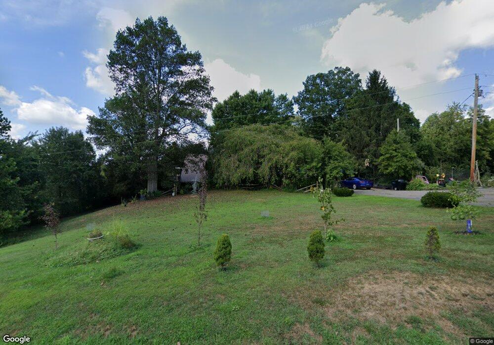
541 State Route 790 Scottown, OH 45678
Estimated Value: $237,000 - $289,451
3
Beds
2
Baths
1,632
Sq Ft
$158/Sq Ft
Est. Value
About This Home
This home is located at 541 State Route 790, Scottown, OH 45678 and is currently estimated at $257,363, approximately $157 per square foot. 541 State Route 790 is a home located in Lawrence County with nearby schools including Symmes Valley Elementary School and Symmes Valley High School.
Ownership History
Date
Name
Owned For
Owner Type
Purchase Details
Closed on
Oct 16, 2018
Sold by
Schoolcraft Barbara J
Bought by
Schoolcraft Barbara J and Brumfield Patricia
Current Estimated Value
Home Financials for this Owner
Home Financials are based on the most recent Mortgage that was taken out on this home.
Original Mortgage
$107,448
Outstanding Balance
$95,367
Interest Rate
5.37%
Mortgage Type
FHA
Estimated Equity
$161,996
Purchase Details
Closed on
Oct 15, 2018
Sold by
Kay-Bentley Darla
Bought by
Schoolcraft Barbara J
Home Financials for this Owner
Home Financials are based on the most recent Mortgage that was taken out on this home.
Original Mortgage
$107,448
Outstanding Balance
$95,367
Interest Rate
5.37%
Mortgage Type
FHA
Estimated Equity
$161,996
Purchase Details
Closed on
Nov 3, 2004
Sold by
Myers Rodney Jaye and Myers Lore
Bought by
Bentley Michael Kent and Bentley D
Create a Home Valuation Report for This Property
The Home Valuation Report is an in-depth analysis detailing your home's value as well as a comparison with similar homes in the area
Home Values in the Area
Average Home Value in this Area
Purchase History
| Date | Buyer | Sale Price | Title Company |
|---|---|---|---|
| Schoolcraft Barbara J | -- | -- | |
| Schoolcraft Barbara J | -- | -- | |
| Bentley Michael Kent | $149,000 | -- |
Source: Public Records
Mortgage History
| Date | Status | Borrower | Loan Amount |
|---|---|---|---|
| Open | Schoolcraft Barbara J | $107,448 | |
| Closed | Schoolcraft Barbara J | $107,448 |
Source: Public Records
Tax History Compared to Growth
Tax History
| Year | Tax Paid | Tax Assessment Tax Assessment Total Assessment is a certain percentage of the fair market value that is determined by local assessors to be the total taxable value of land and additions on the property. | Land | Improvement |
|---|---|---|---|---|
| 2024 | -- | $67,500 | $2,210 | $65,290 |
| 2023 | $1,845 | $67,500 | $2,210 | $65,290 |
| 2022 | $1,843 | $67,500 | $2,210 | $65,290 |
| 2021 | $1,843 | $52,420 | $1,920 | $50,500 |
| 2020 | $1,463 | $52,420 | $1,920 | $50,500 |
| 2019 | $1,541 | $52,420 | $1,920 | $50,500 |
| 2018 | $799 | $35,450 | $1,920 | $33,530 |
| 2017 | $800 | $35,450 | $1,920 | $33,530 |
| 2016 | $740 | $35,450 | $1,920 | $33,530 |
| 2015 | $757 | $35,880 | $1,930 | $33,950 |
| 2014 | $757 | $35,880 | $1,930 | $33,950 |
| 2013 | $756 | $35,880 | $1,930 | $33,950 |
Source: Public Records
Map
Nearby Homes
- 10727 B Lincoln Pike
- 10727 B Lincoln Pike
- X Lincoln Pike
- 0 Ohio 790
- 000 Lincoln Pike
- 0 Lincoln Pike
- 0 County Road 213
- 174 Township Road 74
- 0 Rocky Fork Rd
- 0 Johns Creek Road Lot Unit Wp001
- 1975 Boggs Rd
- 1790 Hull Rd
- 321 Township Road 75 S
- 1865 Hull Rd
- 1865 Hull Rd Unit (Tract 2 Woods Wayne
- 5188 State Route 775
- 784 Township Road 209
- 814 Wells Run Rd
- 13498 County Road 2
- 0 Ohio 775
- 6771 State Route 790
- 496 State Route 790
- 387 State Route 790
- 6622 State Route 790
- 370 State Route 790
- 378 State Route 790
- 6544 State Route 790
- 10729a Lincoln Pike
- 10729 1/2 Lincoln Pike
- 10729 Lincoln Pike
- 6453 State Route 790
- 90 State Route 790
- 6453 Ohio 790
- 23187 State Route 775
- State Rt 790
- 9873 County Road 37
- 9802 County Road 37
- 23052 State Route 775
- 9586 County Road 37
- 151 Township Road 216