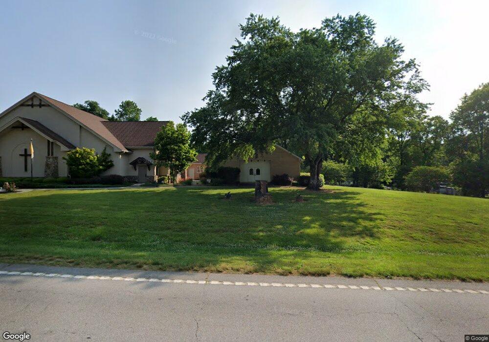
5410 Highway 197 S Clarkesville, GA 30523
Estimated Value: $462,000
--
Bed
--
Bath
4,000
Sq Ft
$116/Sq Ft
Est. Value
About This Home
This home is located at 5410 Highway 197 S, Clarkesville, GA 30523 and is currently priced at $462,000, approximately $115 per square foot. 5410 Highway 197 S is a home located in Habersham County with nearby schools including Clarkesville Elementary School, Habersham Success Academy, and North Habersham Middle School.
Ownership History
Date
Name
Owned For
Owner Type
Purchase Details
Closed on
Jun 30, 2017
Bought by
Nutt Richard L and Bonadies Louis
Current Estimated Value
Purchase Details
Closed on
Jun 20, 2016
Sold by
Gregory Wilton D
Bought by
Archbishop Of The Archdiocese and Aoa Parish Real Estate Trust
Purchase Details
Closed on
Aug 7, 2015
Sold by
Catholic Roman
Bought by
The Smc Home Co Inc
Purchase Details
Closed on
Nov 1, 2008
Sold by
Not Provided
Bought by
Roman Catholic Archdiocese
Create a Home Valuation Report for This Property
The Home Valuation Report is an in-depth analysis detailing your home's value as well as a comparison with similar homes in the area
Home Values in the Area
Average Home Value in this Area
Purchase History
| Date | Buyer | Sale Price | Title Company |
|---|---|---|---|
| Nutt Richard L | $32,485 | -- | |
| Archbishop Of The Archdiocese | -- | -- | |
| The Smc Home Co Inc | $10,000 | -- | |
| Roman Catholic Archdiocese | $1,000 | -- |
Source: Public Records
Tax History Compared to Growth
Tax History
| Year | Tax Paid | Tax Assessment Tax Assessment Total Assessment is a certain percentage of the fair market value that is determined by local assessors to be the total taxable value of land and additions on the property. | Land | Improvement |
|---|---|---|---|---|
| 2025 | -- | $140,749 | $36,822 | $103,927 |
| 2024 | $4,692 | $180,784 | $23,060 | $157,724 |
| 2023 | $4,615 | $177,796 | $23,060 | $154,736 |
| 2022 | $4,080 | $157,200 | $23,060 | $134,140 |
| 2021 | $3,821 | $141,920 | $17,296 | $124,624 |
| 2020 | $3,229 | $119,940 | $12,688 | $107,252 |
| 2019 | $3,229 | $119,940 | $12,688 | $107,252 |
| 2018 | $0 | $119,940 | $12,688 | $107,252 |
| 2017 | $0 | $121,676 | $23,536 | $98,140 |
| 2016 | -- | $304,190 | $23,536 | $98,140 |
| 2015 | -- | $304,190 | $23,536 | $98,140 |
| 2014 | -- | $319,570 | $26,184 | $101,644 |
| 2013 | -- | $127,828 | $26,184 | $101,644 |
Source: Public Records
Map
Nearby Homes
- 405 Roper Dr
- 409 Roper Dr
- 395 E Louise St
- 253 Lacount Ln
- 222 N Mize Rd
- 620 Washington St
- 643 Washington St
- 135 Village Dr
- 849 Blacksnake Rd
- 745 Washington St
- 205 Flesner Ct
- 164 Weeping Willow Dr
- 222 Weeping Willow Dr
- 111 Smith Ct
- 176 Llewellyn St
- 172 Llewellyn St
- 180 Llewellyn St
- 0 Gladston Rd
- 0 Ivy Ridge Way Unit LOT 40 10327774
- 0 Ivy Ridge Way Unit LOT 6 10487513
- 5479 Highway 197 S
- 152 Roper Dr
- 411 Bronco Loop
- 318 Hester Hill
- 314 Hester Hill
- 173 Rocky Point
- 401 Bronco Loop
- 322 Hester Hill
- 323 Hester Hill
- 5254 Highway 197
- 130 Rodeo Cir
- 138 Rodeo Cir
- 315 Hester Hill
- 5255 Highway 197
- 118 Rodeo Cir
- 146 Rodeo Cir
- 260 Roper Dr
- 201 Lasso Ln
- 0 Rodeo Cir Unit 8305387
- 0 Rodeo Cir Unit 7074355