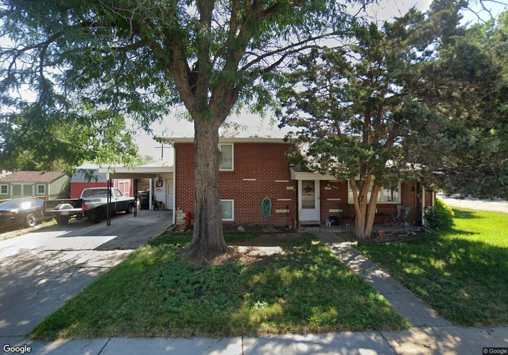
5410 Pierce St Arvada, CO 80002
Estimated Value: $465,062 - $523,000
3
Beds
3
Baths
980
Sq Ft
$505/Sq Ft
Est. Value
About This Home
This home is located at 5410 Pierce St, Arvada, CO 80002 and is currently estimated at $494,766, approximately $504 per square foot. 5410 Pierce St is a home located in Jefferson County with nearby schools including Secrest Elementary School, North Arvada Middle School, and Arvada High School.
Ownership History
Date
Name
Owned For
Owner Type
Purchase Details
Closed on
Mar 11, 2016
Sold by
Colombo Michael K and Rabinowitz Scott
Bought by
Colombo Michael K
Current Estimated Value
Purchase Details
Closed on
Mar 28, 2014
Sold by
Colombo Michael Kenn
Bought by
Rabinowitz Scott and Colombo Michael
Purchase Details
Closed on
Mar 19, 2001
Sold by
Sathre Arnold Edward Leonard Mary Jo
Bought by
Colombo Michael Kevin
Home Financials for this Owner
Home Financials are based on the most recent Mortgage that was taken out on this home.
Original Mortgage
$127,000
Outstanding Balance
$45,310
Interest Rate
6.75%
Mortgage Type
Seller Take Back
Estimated Equity
$449,456
Create a Home Valuation Report for This Property
The Home Valuation Report is an in-depth analysis detailing your home's value as well as a comparison with similar homes in the area
Purchase History
| Date | Buyer | Sale Price | Title Company |
|---|---|---|---|
| Colombo Michael K | -- | None Available | |
| Rabinowitz Scott | -- | None Available | |
| Colombo Michael Kevin | $127,000 | -- |
Source: Public Records
Mortgage History
| Date | Status | Borrower | Loan Amount |
|---|---|---|---|
| Open | Colombo Michael Kevin | $127,000 |
Source: Public Records
Tax History
| Year | Tax Paid | Tax Assessment Tax Assessment Total Assessment is a certain percentage of the fair market value that is determined by local assessors to be the total taxable value of land and additions on the property. | Land | Improvement |
|---|---|---|---|---|
| 2024 | $2,702 | $27,117 | $12,308 | $14,809 |
| 2023 | $2,702 | $27,117 | $12,308 | $14,809 |
| 2022 | $2,430 | $24,238 | $9,297 | $14,941 |
| 2021 | $2,466 | $24,935 | $9,564 | $15,371 |
| 2020 | $2,121 | $21,469 | $7,275 | $14,194 |
| 2019 | $2,093 | $21,469 | $7,275 | $14,194 |
| 2018 | $1,921 | $19,151 | $5,312 | $13,839 |
| 2017 | $1,761 | $19,151 | $5,312 | $13,839 |
| 2016 | $1,570 | $16,054 | $5,276 | $10,778 |
| 2015 | $1,342 | $16,054 | $5,276 | $10,778 |
| 2014 | $1,342 | $12,896 | $4,872 | $8,024 |
Source: Public Records
Map
Nearby Homes
- 5465 Reed Ct
- 6940 W 55th Place
- 6865 W 55th Place
- 5423 Saulsbury Ct
- 6910 Reno Dr
- 5716 Saulsbury St
- 7357 Grandview Ave Unit 202
- 6902 Ralston Rd
- 6427 Grandview Ave Unit A & B
- 7856 W 54th Ave Unit 7856
- 5320 Allison St Unit 106
- 7931 W 55th Ave Unit 112
- 5366 Allison St Unit D
- 5409 Zephyr Ct Unit 5409
- 5460 Allison St Unit 102
- 7303 W 59th Ave
- 6105 W 49th Place
- 5419 Allison St Unit G
- 5419 Allison St Unit F
- 7607 Ralston Rd
- 6743 W 54th Ave
- 5420 Pierce St
- 6737 W 54th Ave
- 6760 W 54th Place
- 5410 Quay St
- 5400 Quay St
- 6750 W 54th Place
- 5420 Quay St
- 6729 W 54th Ave
- 6840 W 54th Ave
- 6730-6840 W 54th Ave
- 5430 Quay St
- 6740 W 54th Place
- 6880 W 54th Ave
- 6723 W 54th Ave
- 5440 Quay St
- 6765 W 54th Place
- 6775 W 54th Place
- 5445 Columbine Dr
- 6730 W 54th Place
Your Personal Tour Guide
Ask me questions while you tour the home.