5410 Simpson Cir Unit 261 Doylestown, PA 18902
Plumstead NeighborhoodEstimated Value: $334,000 - $362,185
2
Beds
2
Baths
1,260
Sq Ft
$272/Sq Ft
Est. Value
About This Home
This home is located at 5410 Simpson Cir Unit 261, Doylestown, PA 18902 and is currently estimated at $343,046, approximately $272 per square foot. 5410 Simpson Cir Unit 261 is a home located in Bucks County with nearby schools including Groveland Elementary School, Tohickon Middle School, and Central Bucks High School-West.
Ownership History
Date
Name
Owned For
Owner Type
Purchase Details
Closed on
Nov 1, 1996
Sold by
Patriots Ridge Corp
Bought by
Timm Sharon Gilbert
Current Estimated Value
Home Financials for this Owner
Home Financials are based on the most recent Mortgage that was taken out on this home.
Original Mortgage
$88,800
Outstanding Balance
$8,736
Interest Rate
8.07%
Estimated Equity
$334,310
Create a Home Valuation Report for This Property
The Home Valuation Report is an in-depth analysis detailing your home's value as well as a comparison with similar homes in the area
Home Values in the Area
Average Home Value in this Area
Purchase History
| Date | Buyer | Sale Price | Title Company |
|---|---|---|---|
| Timm Sharon Gilbert | $106,990 | -- |
Source: Public Records
Mortgage History
| Date | Status | Borrower | Loan Amount |
|---|---|---|---|
| Open | Timm Sharon Gilbert | $88,800 |
Source: Public Records
Tax History Compared to Growth
Tax History
| Year | Tax Paid | Tax Assessment Tax Assessment Total Assessment is a certain percentage of the fair market value that is determined by local assessors to be the total taxable value of land and additions on the property. | Land | Improvement |
|---|---|---|---|---|
| 2025 | $3,732 | $21,480 | -- | $21,480 |
| 2024 | $3,732 | $21,480 | $0 | $21,480 |
| 2023 | $3,614 | $21,480 | $0 | $21,480 |
| 2022 | $3,573 | $21,480 | $0 | $21,480 |
| 2021 | $3,533 | $21,480 | $0 | $21,480 |
| 2020 | $3,533 | $21,480 | $0 | $21,480 |
| 2019 | $3,512 | $21,480 | $0 | $21,480 |
| 2018 | $3,512 | $21,480 | $0 | $21,480 |
| 2017 | $3,463 | $21,480 | $0 | $21,480 |
| 2016 | $3,463 | $21,480 | $0 | $21,480 |
| 2015 | -- | $21,480 | $0 | $21,480 |
| 2014 | -- | $21,480 | $0 | $21,480 |
Source: Public Records
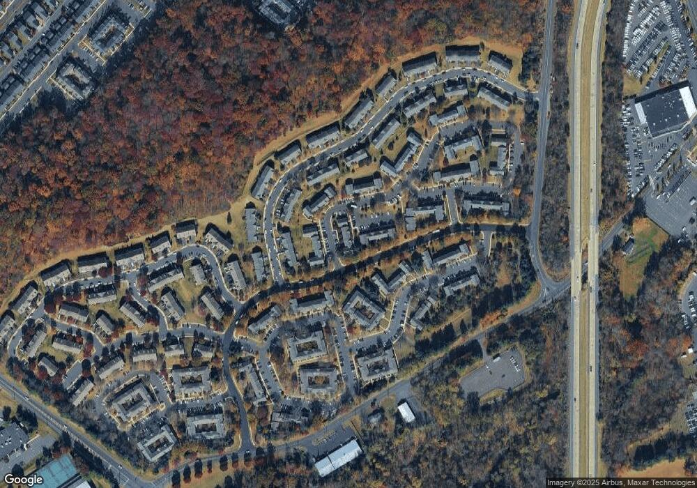
Map
Nearby Homes
- 3765 William Daves Rd
- 3723 William Daves Rd
- 4748 Bishop Cir
- 3838 Jacob Stout Rd
- 3711 Jacob Stout Rd Unit 5
- 3600 Jacob Stout Rd Unit 3
- 114 Blackfriars Cir
- 100 Bishops Gate Ln Unit 67
- 194 Victoria Ct Unit 143
- 301 Windy Run Rd
- 3923 Ferry Rd
- Madison Plan at Clover Hill Crossing
- Rittenhouse Plan at Clover Hill Crossing
- Harrison Plan at Clover Hill Crossing
- Chapel Hill Plan at Clover Hill Crossing
- Georgetown Plan at Clover Hill Crossing
- Fenimore Plan at Clover Hill Crossing
- 4263 Kleinot Dr
- 4317 Kleinot Dr
- 4464 Kleinot Dr
- 5408 Simpson Cir Unit 262
- 5414 Simpson Cir Unit 259
- 5412 Simpson Cir Unit 260
- 5406 Simpson Cir Unit 263
- 5404 Simpson Cir Unit 264
- 5416 Simpson Cir Unit 267
- 5418 Simpson Cir Unit 268
- 5402 Simpson Cir Unit 265
- 5400 Simpson Cir Unit 266
- 5420 Simpson Cir Unit 269
- 5422 Simpson Cir Unit 270
- 5407 Rinker Cir
- 5409 Rinker Cir Unit 253
- 5405 Rinker Cir Unit 251
- 5411 Rinker Cir Unit 254
- 5424 Simpson Cir Unit 271
- 5413 Rinker Cir Unit 255
- 5417 Rinker Cir Unit 257
- 5403 Rinker Cir Unit 250
- 5426 Simpson Cir Unit 272