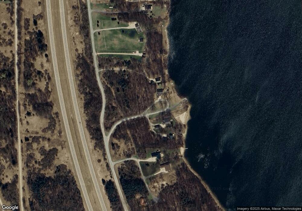
5410 W Parkside Cir Ludington, MI 49431
Estimated Value: $327,000 - $821,000
--
Bed
1
Bath
2,016
Sq Ft
$289/Sq Ft
Est. Value
About This Home
This home is located at 5410 W Parkside Cir, Ludington, MI 49431 and is currently estimated at $582,827, approximately $289 per square foot. 5410 W Parkside Cir is a home located in Mason County with nearby schools including Ludington Elementary School, Lakeview Elementary School, and O.J. DeJonge Middle School.
Ownership History
Date
Name
Owned For
Owner Type
Purchase Details
Closed on
Nov 18, 2016
Sold by
Milstead Robert Dean and Milstead Maria
Bought by
Combs Johnny C and Combs Marsha J
Current Estimated Value
Purchase Details
Closed on
Nov 17, 2012
Sold by
Milstead Robert Dean and Milstead Maria
Bought by
Milstead Robert Dean and Milstead Maria
Home Financials for this Owner
Home Financials are based on the most recent Mortgage that was taken out on this home.
Original Mortgage
$214,000
Interest Rate
3.35%
Mortgage Type
New Conventional
Purchase Details
Closed on
Jan 28, 2008
Sold by
Milstead Robert D and Milstead Maria M
Bought by
Milstead Robert Dean and Milstead Maria
Purchase Details
Closed on
Jul 30, 2004
Sold by
Hopkins Lake Development Llc
Bought by
Milstead Robert D and Milstead Maria M
Create a Home Valuation Report for This Property
The Home Valuation Report is an in-depth analysis detailing your home's value as well as a comparison with similar homes in the area
Home Values in the Area
Average Home Value in this Area
Purchase History
| Date | Buyer | Sale Price | Title Company |
|---|---|---|---|
| Combs Johnny C | -- | Attorney | |
| Milstead Robert Dean | -- | None Available | |
| Milstead Robert Dean | -- | None Available | |
| Milstead Robert D | $65,000 | Lakeshore Land & Title |
Source: Public Records
Mortgage History
| Date | Status | Borrower | Loan Amount |
|---|---|---|---|
| Previous Owner | Milstead Robert Dean | $214,000 |
Source: Public Records
Tax History Compared to Growth
Tax History
| Year | Tax Paid | Tax Assessment Tax Assessment Total Assessment is a certain percentage of the fair market value that is determined by local assessors to be the total taxable value of land and additions on the property. | Land | Improvement |
|---|---|---|---|---|
| 2025 | $3,802 | $280,400 | $280,400 | $0 |
| 2024 | -- | $236,600 | $236,600 | $0 |
| 2023 | -- | $186,200 | $186,200 | $0 |
| 2022 | -- | $175,000 | $0 | $0 |
| 2021 | -- | $134,600 | $0 | $0 |
| 2020 | -- | -- | $0 | $0 |
| 2019 | -- | -- | $0 | $0 |
| 2018 | -- | -- | $0 | $0 |
| 2017 | -- | -- | $0 | $0 |
| 2016 | -- | -- | $0 | $0 |
| 2015 | -- | -- | $0 | $0 |
| 2013 | -- | -- | $0 | $0 |
Source: Public Records
Map
Nearby Homes
- VL 2.67A Ironwood Dr
- 5424 W Oak Point Rd
- 3324 S Ironwood Dr
- 5449 W Golfside Dr
- 2945 S Palmer Blvd
- 2774 S Pere Marquette Hwy
- 4569 S Lakeshore Dr
- 2989 S Lakeshore Dr
- 4629 S Benedict Rd
- 4771 S Lakeshore Dr
- 5920 Iris Rd
- 2177 S Lakeshore Dr
- 5641 S Pere Marquette Hwy
- 5766 S Pere Marquette Hwy
- 6193 S Pere Marquette Hwy
- 602 5th St
- 510 5th St
- 204 4th St
- 846 S Lakeshore Dr Unit 1
- 846 S Lakeshore Dr Unit North Lot
- 5411 W Parkside Cir
- 3612 S Ironwood Dr
- 0 S Ironwood Dr Unit 67022014513
- 0 S Ironwood Dr Unit 23 22014513
- 3590 S Ironwood Dr
- 5433 W Parkside Cir
- V/L 2.67A Ironwood Dr
- 0 Ironwood Dr Unit M13021803
- 0 Ironwood Dr Unit M14034612
- 0 Ironwood Dr Unit M16056479
- 0 Ironwood Dr Unit M18043153
- 3278 Ironwood Dr
- 1 Ironwood Dr
- 0 Ironwood Dr Unit 2 14034612
- 5 Ironwood Dr
- 0 Ironwood Dr
- 3566 S Ironwood Dr
- 2.34 Acres Ironwood Rd
- 5440 Apple Ln Unit 9
- 3544 S Ironwood Dr
