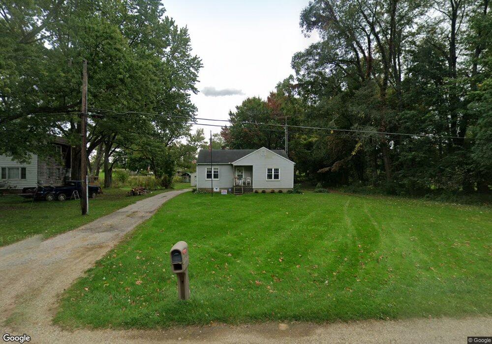
5410 W Us Highway 12 Buchanan, MI 49107
Estimated Value: $170,000 - $206,000
2
Beds
1
Bath
924
Sq Ft
$204/Sq Ft
Est. Value
About This Home
This home is located at 5410 W Us Highway 12, Buchanan, MI 49107 and is currently estimated at $188,874, approximately $204 per square foot. 5410 W Us Highway 12 is a home located in Berrien County with nearby schools including River Valley Middle/High School.
Ownership History
Date
Name
Owned For
Owner Type
Purchase Details
Closed on
Apr 12, 2017
Sold by
Estate Of Charlotte Mable Defreez
Bought by
Marshall Dustin Scott
Current Estimated Value
Purchase Details
Closed on
Dec 16, 2016
Sold by
Marshall Dustin S
Bought by
Bailey Derek Alan
Home Financials for this Owner
Home Financials are based on the most recent Mortgage that was taken out on this home.
Original Mortgage
$80,370
Outstanding Balance
$38,713
Interest Rate
3.54%
Mortgage Type
New Conventional
Estimated Equity
$150,161
Create a Home Valuation Report for This Property
The Home Valuation Report is an in-depth analysis detailing your home's value as well as a comparison with similar homes in the area
Home Values in the Area
Average Home Value in this Area
Purchase History
| Date | Buyer | Sale Price | Title Company |
|---|---|---|---|
| Marshall Dustin Scott | -- | Attorney | |
| Bailey Derek Alan | $84,600 | First American Title |
Source: Public Records
Mortgage History
| Date | Status | Borrower | Loan Amount |
|---|---|---|---|
| Open | Bailey Derek Alan | $80,370 |
Source: Public Records
Tax History Compared to Growth
Tax History
| Year | Tax Paid | Tax Assessment Tax Assessment Total Assessment is a certain percentage of the fair market value that is determined by local assessors to be the total taxable value of land and additions on the property. | Land | Improvement |
|---|---|---|---|---|
| 2025 | $1,113 | $73,300 | $0 | $0 |
| 2024 | $650 | $66,700 | $0 | $0 |
| 2023 | $619 | $58,200 | $0 | $0 |
| 2022 | $590 | $50,400 | $0 | $0 |
| 2021 | $1,035 | $48,700 | $15,100 | $33,600 |
| 2020 | $1,014 | $49,600 | $0 | $0 |
| 2019 | $996 | $41,400 | $12,100 | $29,300 |
| 2018 | $994 | $41,400 | $0 | $0 |
| 2017 | $987 | $40,900 | $0 | $0 |
| 2016 | $899 | $44,100 | $0 | $0 |
| 2015 | $720 | $42,000 | $0 | $0 |
| 2014 | $396 | $39,400 | $0 | $0 |
Source: Public Records
Map
Nearby Homes
- 5320 W Us Highway 12
- 0 Us 12 W
- 6105 Burrus Rd
- 1583 E Galien Buchanan Rd
- VL Buffalo Rd
- 2645 Oak Forest Rd
- 6460 E Galien Buchanan Rd
- 15973 Walnut St
- 15891 Lakeview Dr
- 15646 W Clear Lake Rd
- 16199 W Clear Lake Rd
- 0 Mount Zion Rd
- 1936 E Clear Lake Rd
- 6475 Olive Branch Rd
- 15657 Lakeview Dr
- 0 E Clear Lake Rd
- Track 4 W Us 12 Hwy Trail
- 302 Hampshire Colony
- 204 Willow Dr
- 347 Georgetown Colony
- 5390 W Us Highway 12
- 5390 W Us Highway 12
- 5380 W Us Highway 12
- 5405 U S 12
- 5405 W Us Highway 12
- 5395 W Us Highway 12
- 5395 W Us Highway 12
- 5370 W Us Highway 12
- 5435 W Us Highway 12
- 5455 W Us Highway 12
- 5455 W Us Highway 12
- 5450 W Us Highway 12 W
- 5350 W Us Highway 12
- 2010 Sage Rd
- 1990 Sage Rd
- 5375 U S 12
- 5345 W Us Highway 12
- 5375 W Us Highway 12
- 2040 Sage Rd
- 1980 Sage Rd