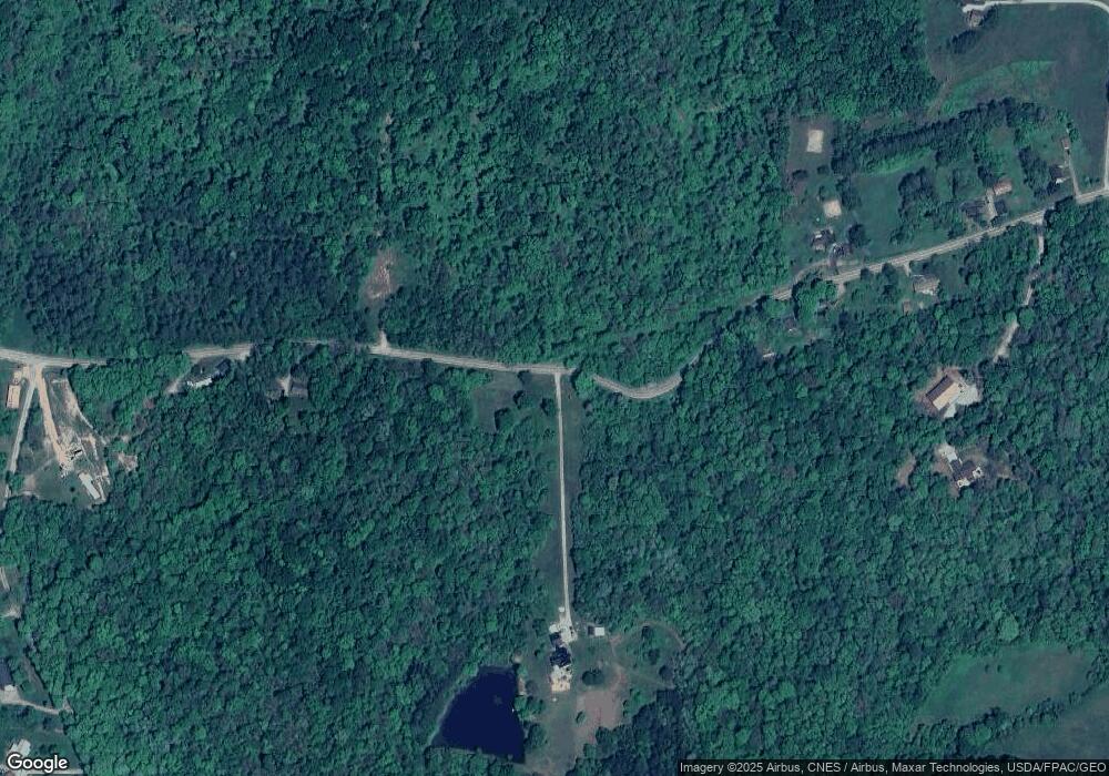
5411 Vore Ridge Rd Athens, OH 45701
Estimated Value: $371,000 - $461,638
3
Beds
3
Baths
2,795
Sq Ft
$144/Sq Ft
Est. Value
About This Home
This home is located at 5411 Vore Ridge Rd, Athens, OH 45701 and is currently estimated at $403,410, approximately $144 per square foot. 5411 Vore Ridge Rd is a home located in Athens County with nearby schools including Morrison-Gordon Elementary School, Athens Middle School, and Athens High School.
Ownership History
Date
Name
Owned For
Owner Type
Purchase Details
Closed on
Aug 2, 2016
Sold by
Bruce Shannon L and Sater Daniel K
Bought by
Bruce Shannon L and Sater Daniel K
Current Estimated Value
Purchase Details
Closed on
Sep 22, 2009
Sold by
Smith David E
Bought by
Bruce Shannon L and Sater Daniel K
Home Financials for this Owner
Home Financials are based on the most recent Mortgage that was taken out on this home.
Original Mortgage
$159,300
Interest Rate
5.11%
Mortgage Type
New Conventional
Purchase Details
Closed on
Dec 7, 2001
Sold by
Smith Linda Lohse
Bought by
Smith Linda K Lohse
Purchase Details
Closed on
Dec 15, 1994
Sold by
Lohse Anna V
Bought by
Smith Linda Lohse
Create a Home Valuation Report for This Property
The Home Valuation Report is an in-depth analysis detailing your home's value as well as a comparison with similar homes in the area
Purchase History
| Date | Buyer | Sale Price | Title Company |
|---|---|---|---|
| Bruce Shannon L | -- | Attorney | |
| Bruce Shannon L | $177,000 | Chicago Title Servicelink Di | |
| Smith Linda K Lohse | -- | -- | |
| Smith Linda Lohse | -- | -- |
Source: Public Records
Mortgage History
| Date | Status | Borrower | Loan Amount |
|---|---|---|---|
| Previous Owner | Bruce Shannon L | $159,300 |
Source: Public Records
Tax History
| Year | Tax Paid | Tax Assessment Tax Assessment Total Assessment is a certain percentage of the fair market value that is determined by local assessors to be the total taxable value of land and additions on the property. | Land | Improvement |
|---|---|---|---|---|
| 2024 | $5,635 | $99,130 | $16,680 | $82,450 |
| 2023 | $5,314 | $99,130 | $16,680 | $82,450 |
| 2022 | $4,579 | $80,840 | $14,500 | $66,340 |
| 2021 | $4,597 | $80,840 | $14,500 | $66,340 |
| 2020 | $4,439 | $80,840 | $14,500 | $66,340 |
| 2019 | $4,285 | $76,050 | $11,580 | $64,470 |
| 2018 | $3,612 | $64,740 | $11,580 | $53,160 |
| 2017 | $6,219 | $64,740 | $11,580 | $53,160 |
| 2016 | $3,523 | $64,960 | $10,530 | $54,430 |
| 2015 | $6,425 | $64,960 | $10,530 | $54,430 |
| 2014 | $6,425 | $64,960 | $10,530 | $54,430 |
| 2013 | $6,164 | $63,910 | $9,240 | $54,670 |
Source: Public Records
Map
Nearby Homes
- 5595 Rhoric Rd
- 11912 State Route 691
- 0 Lemaster Rd
- 11685 State Route 691
- 11757 Ohio 691
- 6559 Poston Rd
- 8190 New Marshfield Rd
- 0 Gun Club Rd
- 6310 Hudnell Rd
- 8750 Lavelle Rd
- 8850 Lavelle Rd
- 0 Country Club Rd
- 7167 Poston Rd
- 7735 Country Club Rd Unit 4
- 8231 Ohio 56
- 0 Shady Ln
- 10639 Ohio 682
- 10639 State Route 682
- 11676 Channingway Blvd
- 11250 Grass Run Rd
- 5287 Vore Ridge Rd
- 5545 Vore Ridge Rd
- 5247 Vore Ridge Rd
- 5550 Vore Ridge Rd
- 9810 Stone Rd
- 5605 Vore Ridge Rd
- 9992 Stone Rd
- 9720 Stone Rd
- 10001 Stone Rd
- 9951 Salem Rd
- 5620 Vore Ridge Rd
- 5657 Vore Ridge Rd
- 9899 Stone Rd
- 5666 Vore Ridge Rd
- 5689 Vore Ridge Rd
- 9655 Stone Rd
- 5680 Vore Ridge Rd
- 5676 Vore Ridge Rd
- 5725 Vore Ridge Rd
- 9995 Stone Rd
