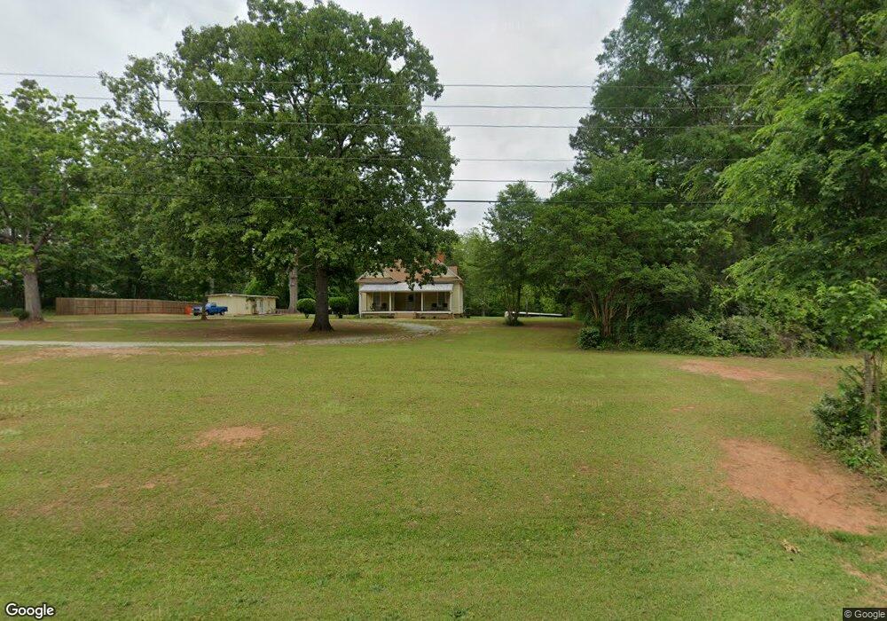
5412 Highway 212 Covington, GA 30016
Estimated Value: $376,614 - $415,000
3
Beds
3
Baths
1,777
Sq Ft
$221/Sq Ft
Est. Value
About This Home
This home is located at 5412 Highway 212, Covington, GA 30016 and is currently estimated at $392,654, approximately $220 per square foot. 5412 Highway 212 is a home located in Newton County with nearby schools including Oak Hill Elementary School, Veterans Memorial Middle School, and Alcovy High School.
Ownership History
Date
Name
Owned For
Owner Type
Purchase Details
Closed on
Dec 15, 2017
Sold by
Turner Stanley S
Bought by
Clark Christina M
Current Estimated Value
Home Financials for this Owner
Home Financials are based on the most recent Mortgage that was taken out on this home.
Original Mortgage
$200,700
Outstanding Balance
$167,823
Interest Rate
3.95%
Mortgage Type
New Conventional
Estimated Equity
$224,831
Purchase Details
Closed on
Jun 27, 2005
Sold by
Barnhart Thomas E and Barnhart Beverly
Bought by
Turner Stanley S and Turner Susan
Home Financials for this Owner
Home Financials are based on the most recent Mortgage that was taken out on this home.
Original Mortgage
$155,500
Interest Rate
5.25%
Mortgage Type
New Conventional
Purchase Details
Closed on
Nov 4, 2002
Sold by
Barnhart Beverly J
Bought by
Barnhart Thomas E and Barnhart Beverly J
Home Financials for this Owner
Home Financials are based on the most recent Mortgage that was taken out on this home.
Original Mortgage
$80,000
Interest Rate
6.3%
Mortgage Type
New Conventional
Create a Home Valuation Report for This Property
The Home Valuation Report is an in-depth analysis detailing your home's value as well as a comparison with similar homes in the area
Home Values in the Area
Average Home Value in this Area
Purchase History
| Date | Buyer | Sale Price | Title Company |
|---|---|---|---|
| Clark Christina M | $223,000 | -- | |
| Turner Stanley S | $194,400 | -- | |
| Barnhart Thomas E | -- | -- |
Source: Public Records
Mortgage History
| Date | Status | Borrower | Loan Amount |
|---|---|---|---|
| Open | Clark Christina M | $200,700 | |
| Previous Owner | Turner Stanley S | $155,500 | |
| Previous Owner | Turner Stanley S | $19,400 | |
| Previous Owner | Barnhart Thomas E | $80,000 |
Source: Public Records
Tax History Compared to Growth
Tax History
| Year | Tax Paid | Tax Assessment Tax Assessment Total Assessment is a certain percentage of the fair market value that is determined by local assessors to be the total taxable value of land and additions on the property. | Land | Improvement |
|---|---|---|---|---|
| 2025 | $3,364 | $139,080 | $47,240 | $91,840 |
| 2024 | $3,245 | $131,960 | $47,240 | $84,720 |
| 2023 | $4,239 | $160,080 | $79,360 | $80,720 |
| 2022 | $2,792 | $106,760 | $33,360 | $73,400 |
| 2021 | $2,521 | $87,000 | $33,360 | $53,640 |
| 2020 | $2,527 | $79,120 | $33,360 | $45,760 |
| 2019 | $2,582 | $79,600 | $33,360 | $46,240 |
| 2018 | $3,057 | $89,040 | $33,360 | $55,680 |
| 2017 | $2,332 | $67,920 | $19,240 | $48,680 |
| 2016 | $1,975 | $57,520 | $13,960 | $43,560 |
| 2015 | $1,949 | $56,760 | $14,560 | $42,200 |
| 2014 | $1,673 | $48,880 | $0 | $0 |
Source: Public Records
Map
Nearby Homes
- 5618 Highway 212
- 195 Sampson Ct
- 20 Clarion Ct
- 115 Arthurs Ln
- 45 Saratoga Way
- 35 Cambridge Way
- 1824 Smith Store Rd
- 55 the Falls Blvd
- 145 Providence Dr
- 624 Bethany Rd
- 40 Browning Dr
- 4627 Highway 212
- 175 Cambridge Way Unit 2
- 1695 Butler Bridge Rd
- 230 Laurel Way
- 20 Tarpley Way
- 190 the Falls Blvd
- 110 Chapel Heights Way
- 455 Bethany Rd
- 425 Berkshire Dr
- 730 Wehunt Rd
- 5414 Highway 212
- 5378 N Highway 212
- 5410 Highway 212
- 5410 Highway 212
- 740 Wehunt Rd
- 5440 Highway 212
- 0 Wehunt Rd Hwy 212 Unit 3058286
- 0 Wehunt Unit 7289982
- 0 Wehunt Unit 7289977
- 5378 Highway 212
- 5376 Highway 212
- 5372 Highway 212
- 5312 Highway 212
- 725 Wehunt Rd
- 768 Wehunt Rd
- 5264 Georgia 212
- 5264 Highway 212 Unit 3AC
- 5264 Highway 212
- 5510 Highway 212