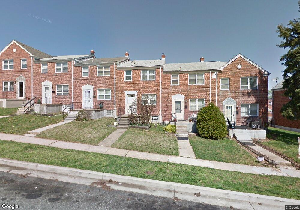
5412 Whitlock Rd Baltimore, MD 21229
Estimated Value: $166,000 - $259,000
Studio
1
Bath
1,080
Sq Ft
$197/Sq Ft
Est. Value
About This Home
This home is located at 5412 Whitlock Rd, Baltimore, MD 21229 and is currently estimated at $212,809, approximately $197 per square foot. 5412 Whitlock Rd is a home located in Baltimore County with nearby schools including Edmondson Heights Elementary School, Southwest Academy, and Woodlawn High School.
Ownership History
Date
Name
Owned For
Owner Type
Purchase Details
Closed on
Mar 4, 2002
Sold by
Royster Tiera
Bought by
Yarbrough Nicholas
Current Estimated Value
Purchase Details
Closed on
Dec 30, 1994
Sold by
Hopkin Robert J
Bought by
Royster Tiera
Home Financials for this Owner
Home Financials are based on the most recent Mortgage that was taken out on this home.
Original Mortgage
$53,900
Interest Rate
9.2%
Purchase Details
Closed on
Nov 4, 1985
Sold by
Milburn Harvey C
Bought by
Hopkin Robert Jay
Create a Home Valuation Report for This Property
The Home Valuation Report is an in-depth analysis detailing your home's value as well as a comparison with similar homes in the area
Home Values in the Area
Average Home Value in this Area
Purchase History
| Date | Buyer | Sale Price | Title Company |
|---|---|---|---|
| Yarbrough Nicholas | $87,500 | -- | |
| Royster Tiera | $83,900 | -- | |
| Hopkin Robert Jay | $52,000 | -- |
Source: Public Records
Mortgage History
| Date | Status | Borrower | Loan Amount |
|---|---|---|---|
| Previous Owner | Royster Tiera | $53,900 |
Source: Public Records
Tax History
| Year | Tax Paid | Tax Assessment Tax Assessment Total Assessment is a certain percentage of the fair market value that is determined by local assessors to be the total taxable value of land and additions on the property. | Land | Improvement |
|---|---|---|---|---|
| 2025 | $3,259 | $151,967 | -- | -- |
| 2024 | $3,259 | $144,500 | $48,000 | $96,500 |
| 2023 | $1,561 | $140,967 | $0 | $0 |
| 2022 | $2,967 | $137,433 | $0 | $0 |
| 2021 | $2,442 | $133,900 | $48,000 | $85,900 |
| 2020 | $1,585 | $130,767 | $0 | $0 |
| 2019 | $1,547 | $127,633 | $0 | $0 |
| 2018 | $2,184 | $124,500 | $44,200 | $80,300 |
| 2017 | $1,887 | $119,533 | $0 | $0 |
| 2016 | $1,603 | $114,567 | $0 | $0 |
| 2015 | $1,603 | $109,600 | $0 | $0 |
| 2014 | $1,603 | $109,600 | $0 | $0 |
Source: Public Records
Map
Nearby Homes
- 5413 Channing Rd
- 5438 Masefield Rd
- 809 Braeside Rd
- 6 Cromarty Rd
- 1102 Harwall Rd
- 619 Aldershot Rd
- 1504 Kirkwood Rd
- 1603 N Forest Park Ave
- 1551 Langford Rd
- 5022 Westhills Rd
- 1632 Kirkwood Rd
- 1542 Clairidge Rd
- 603 Stamford Rd
- 829 N Chapel Gate Ln
- 1407 Ingleside Ave
- 425 Overbrook Rd
- 918 Cooks Ln
- 1215 Ingleside Ave
- 1215 Cooks Ln
- 5900 Cecil Ave
- 5410 Whitlock Rd
- 5414 Whitlock Rd
- 5416 Whitlock Rd
- 5408 Whitlock Rd
- 5418 Whitlock Rd
- 5406 Whitlock Rd
- 5420 Whitlock Rd
- 5404 Whitlock Rd
- 5422 Whitlock Rd
- 5402 Whitlock Rd
- 5421 Channing Rd
- 5419 Channing Rd
- 5423 Channing Rd
- 5425 Channing Rd
- 5417 Channing Rd
- 5427 Channing Rd
- 5424 Whitlock Rd
- 5415 Channing Rd
- 5400 Whitlock Rd
- 5429 Channing Rd
Your Personal Tour Guide
Ask me questions while you tour the home.