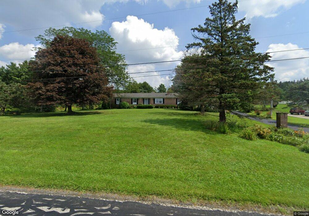
5414 Rootstown Rd Ravenna, OH 44266
Estimated Value: $279,425 - $334,000
3
Beds
2
Baths
1,919
Sq Ft
$158/Sq Ft
Est. Value
About This Home
This home is located at 5414 Rootstown Rd, Ravenna, OH 44266 and is currently estimated at $302,606, approximately $157 per square foot. 5414 Rootstown Rd is a home located in Portage County with nearby schools including Willyard Elementary School, West Park Elementary School, and Brown Middle School.
Ownership History
Date
Name
Owned For
Owner Type
Purchase Details
Closed on
Jul 18, 2002
Sold by
Dunham Paul H and Dunham Celesta M
Bought by
Felton Randall C and Felton Sheila K
Current Estimated Value
Home Financials for this Owner
Home Financials are based on the most recent Mortgage that was taken out on this home.
Original Mortgage
$78,000
Outstanding Balance
$31,636
Interest Rate
6.79%
Estimated Equity
$270,970
Purchase Details
Closed on
May 12, 1992
Bought by
Dunham Paul H and Dunham Celesta
Create a Home Valuation Report for This Property
The Home Valuation Report is an in-depth analysis detailing your home's value as well as a comparison with similar homes in the area
Purchase History
| Date | Buyer | Sale Price | Title Company |
|---|---|---|---|
| Felton Randall C | $178,000 | Franklin Mills Title | |
| Dunham Paul H | -- | -- |
Source: Public Records
Mortgage History
| Date | Status | Borrower | Loan Amount |
|---|---|---|---|
| Open | Felton Randall C | $78,000 |
Source: Public Records
Tax History
| Year | Tax Paid | Tax Assessment Tax Assessment Total Assessment is a certain percentage of the fair market value that is determined by local assessors to be the total taxable value of land and additions on the property. | Land | Improvement |
|---|---|---|---|---|
| 2025 | $4,936 | $98,110 | $7,670 | $90,440 |
| 2024 | $4,299 | $98,110 | $7,670 | $90,440 |
| 2023 | $3,552 | $69,060 | $6,480 | $62,580 |
| 2022 | $3,532 | $69,060 | $6,480 | $62,580 |
| 2021 | $3,520 | $69,060 | $6,480 | $62,580 |
| 2020 | $3,094 | $53,520 | $6,480 | $47,040 |
| 2019 | $3,095 | $53,520 | $6,480 | $47,040 |
| 2018 | $3,001 | $49,320 | $5,600 | $43,720 |
| 2017 | $3,001 | $49,320 | $5,600 | $43,720 |
| 2016 | $2,746 | $49,320 | $5,600 | $43,720 |
| 2015 | $2,749 | $49,320 | $5,600 | $43,720 |
| 2014 | $2,549 | $45,330 | $5,600 | $39,730 |
| 2013 | $2,534 | $45,330 | $5,600 | $39,730 |
Source: Public Records
Map
Nearby Homes
- 5100 Misty Glen
- 5242 Glen Park Dr
- 2671 Wintergreen Ln
- 2326 Orchard Cir
- 2277 Orchard Cir
- 5201 Cline Rd Unit A
- 5271 Aspen Meadow Dr
- 1997 Sugar Maple Dr
- 2978 Sandy Lake Rd
- 2092 Sugar Maple Dr
- 3120 Shearwater Cir
- 3169 Waxwing Cir
- 4700 Gooseberry Knoll
- 3137 Shearwater Cir
- 3143 Shearwater Cir
- 4620 Briar Hill Dr
- 6181 Washington St
- 3366 Hommon Rd
- 5403 Winding Creek Dr
- 5343 Winding Creek Dr
- 5366 Rootstown Rd
- 5373 Rootstown Rd
- 5355 Rootstown Rd
- 5350 Rootstown Rd
- 2620 Summit Rd
- 5332 Rootstown Rd
- 2500 Summit Rd
- 5339 Rootstown Rd
- 2885 2889 Summit Rd
- 2632 Summit Rd
- 5342 Rootstown Rd
- 2593 Summit Rd
- 5310 Rootstown Rd
- 5319 Rootstown Rd
- 2650 Summit Rd
- 2515 Summit Rd
- 5280 Rootstown Rd
- 2505 Summit Rd
- 2615 Summit Rd
Your Personal Tour Guide
Ask me questions while you tour the home.