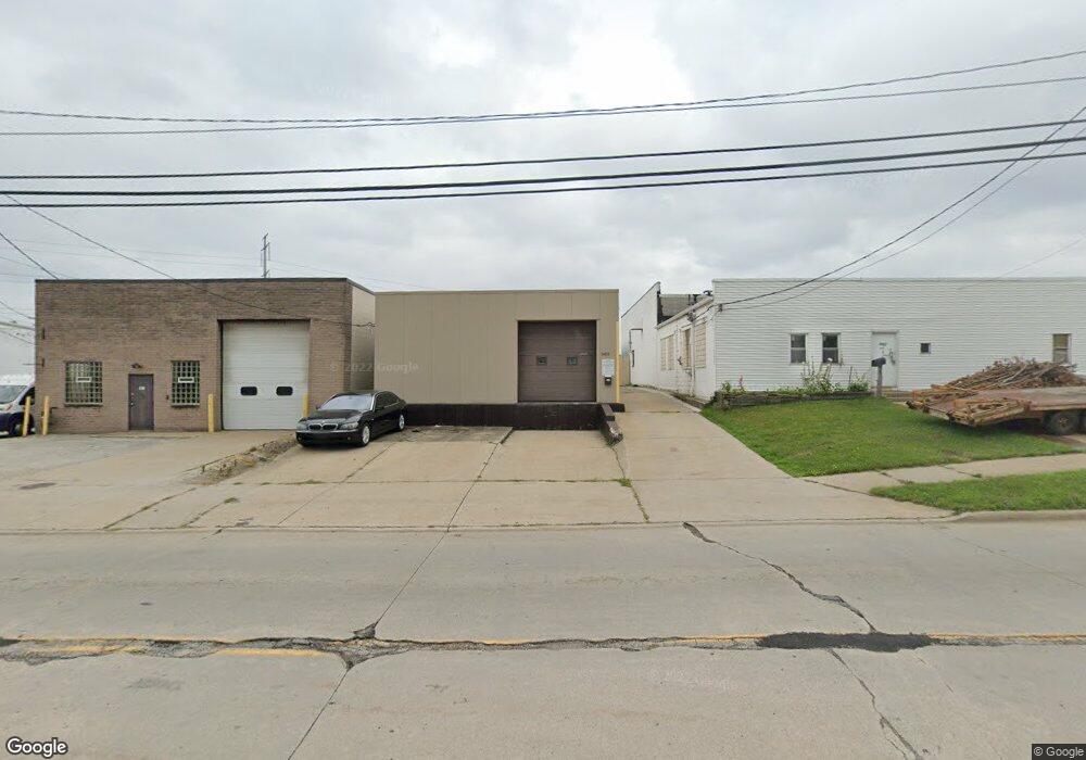
5415 Dunham Rd Maple Heights, OH 44137
Estimated Value: $257,026
--
Bed
--
Bath
5,364
Sq Ft
$48/Sq Ft
Est. Value
About This Home
This home is located at 5415 Dunham Rd, Maple Heights, OH 44137 and is currently estimated at $257,026, approximately $47 per square foot. 5415 Dunham Rd is a home located in Cuyahoga County with nearby schools including Abraham Lincoln Elementary School, Rockside/ J.F. Kennedy School, and Barack Obama School.
Ownership History
Date
Name
Owned For
Owner Type
Purchase Details
Closed on
Aug 31, 2018
Sold by
Cjs Ohio Llc
Bought by
Platinum Enterprises Mvt Llc
Current Estimated Value
Home Financials for this Owner
Home Financials are based on the most recent Mortgage that was taken out on this home.
Original Mortgage
$96,750
Outstanding Balance
$84,198
Interest Rate
4.5%
Mortgage Type
Commercial
Estimated Equity
$172,828
Purchase Details
Closed on
Sep 8, 2017
Sold by
Donovan Nancy L and Donovan Patrick M
Bought by
Cjs Ohio Llc
Purchase Details
Closed on
Jan 24, 1991
Sold by
Fiala Fred J
Bought by
Donovan Nancy L
Purchase Details
Closed on
Jan 1, 1975
Bought by
Fiala Fred J
Create a Home Valuation Report for This Property
The Home Valuation Report is an in-depth analysis detailing your home's value as well as a comparison with similar homes in the area
Home Values in the Area
Average Home Value in this Area
Purchase History
| Date | Buyer | Sale Price | Title Company |
|---|---|---|---|
| Platinum Enterprises Mvt Llc | $129,000 | Ohio Real Title | |
| Cjs Ohio Llc | $45,000 | Ohio Real Title | |
| Donovan Nancy L | $112,000 | -- | |
| Fiala Fred J | -- | -- |
Source: Public Records
Mortgage History
| Date | Status | Borrower | Loan Amount |
|---|---|---|---|
| Open | Platinum Enterprises Mvt Llc | $96,750 |
Source: Public Records
Tax History Compared to Growth
Tax History
| Year | Tax Paid | Tax Assessment Tax Assessment Total Assessment is a certain percentage of the fair market value that is determined by local assessors to be the total taxable value of land and additions on the property. | Land | Improvement |
|---|---|---|---|---|
| 2024 | $5,502 | $53,060 | $4,725 | $48,335 |
| 2023 | $4,938 | $45,510 | $3,050 | $42,460 |
| 2022 | $4,969 | $45,500 | $3,050 | $42,460 |
| 2021 | $5,366 | $45,500 | $3,050 | $42,460 |
| 2020 | $8,126 | $67,550 | $3,050 | $64,510 |
| 2019 | $8,134 | $193,000 | $8,700 | $184,300 |
| 2018 | $8,087 | $67,550 | $3,050 | $64,510 |
| 2017 | $6,018 | $48,450 | $5,430 | $43,020 |
| 2016 | $5,804 | $48,450 | $5,430 | $43,020 |
| 2015 | $5,896 | $48,450 | $5,430 | $43,020 |
| 2014 | $5,896 | $52,640 | $5,880 | $46,760 |
Source: Public Records
Map
Nearby Homes
- 15095 Granger Rd
- 15505 Benhoff Dr
- 14567 Pease Rd
- 14417 Corridon Ave
- 14901 Krems Ave
- 16341 Home St
- 15911 Friend Ave
- 5247 Henry St
- 5312 E 141st St
- 14500 Tokay Ave
- 5100 Greenhurst Dr
- 15800 Northwood Ave
- 14708 Brunswick Ave
- 13709 Oak Park Blvd
- 5606 Jefferson Ave
- 13704 Woodward Blvd
- 14203 Tabor Ave
- 14214 Tabor Ave
- 5646 Adams Ave
- 15803 Maplewood Ave
- 15127 Granger Rd
- 5490 Dunham Rd
- 15101 Granger Rd
- 0 Industrial Ave
- 15025 Granger Rd
- 15001 Granger Rd
- 5373 Royal St
- 5371 Royal St
- 5367 Royal St
- 5363 Royal St
- 14969 Granger Rd
- 14937 Granger Rd
- 14901 Granger Rd
- 14901 Granger Rd Unit 282
- 14875 Granger Rd
- 5378 Royal St
- 5374 Royal St
- 5380 Royal St
- 5370 Royal St
- 5366 Royal St