Estimated Value: $515,565 - $713,000
4
Beds
3
Baths
2,873
Sq Ft
$218/Sq Ft
Est. Value
About This Home
This home is located at 5415 E State Route 41, Troy, OH 45373 and is currently estimated at $626,141, approximately $217 per square foot. 5415 E State Route 41 is a home located in Miami County with nearby schools including Miami East Elementary School, Miami East Junior High School, and Miami East High School.
Ownership History
Date
Name
Owned For
Owner Type
Purchase Details
Closed on
Jun 21, 2022
Sold by
Henness Douglas L and Henness Melanie R
Bought by
Ort Brandon J and Ort Stacey A
Current Estimated Value
Home Financials for this Owner
Home Financials are based on the most recent Mortgage that was taken out on this home.
Original Mortgage
$300,000
Outstanding Balance
$285,025
Interest Rate
5.1%
Mortgage Type
New Conventional
Estimated Equity
$341,116
Purchase Details
Closed on
Oct 20, 2016
Sold by
Musick Donald L
Bought by
Douglas L Henness and Melanie R Henness
Home Financials for this Owner
Home Financials are based on the most recent Mortgage that was taken out on this home.
Interest Rate
3.52%
Purchase Details
Closed on
May 8, 2002
Sold by
Lampe Kari W
Bought by
Musick Donald L and Musick Sandra R
Home Financials for this Owner
Home Financials are based on the most recent Mortgage that was taken out on this home.
Original Mortgage
$368,000
Interest Rate
7.24%
Mortgage Type
New Conventional
Create a Home Valuation Report for This Property
The Home Valuation Report is an in-depth analysis detailing your home's value as well as a comparison with similar homes in the area
Home Values in the Area
Average Home Value in this Area
Purchase History
| Date | Buyer | Sale Price | Title Company |
|---|---|---|---|
| Ort Brandon J | -- | Dungan & Lefevre Co Lpa | |
| Douglas L Henness | $550,000 | -- | |
| Musick Donald L | $460,000 | -- |
Source: Public Records
Mortgage History
| Date | Status | Borrower | Loan Amount |
|---|---|---|---|
| Open | Ort Brandon J | $300,000 | |
| Previous Owner | Musick Donald L | -- | |
| Previous Owner | Musick Donald L | $368,000 |
Source: Public Records
Tax History Compared to Growth
Tax History
| Year | Tax Paid | Tax Assessment Tax Assessment Total Assessment is a certain percentage of the fair market value that is determined by local assessors to be the total taxable value of land and additions on the property. | Land | Improvement |
|---|---|---|---|---|
| 2024 | $4,949 | $155,530 | $13,850 | $141,680 |
| 2023 | $4,949 | $155,530 | $13,850 | $141,680 |
| 2022 | $5,091 | $155,530 | $13,850 | $141,680 |
| 2021 | $4,151 | $120,000 | $11,010 | $108,990 |
| 2020 | $4,173 | $120,000 | $11,010 | $108,990 |
| 2019 | $4,245 | $120,000 | $11,010 | $108,990 |
| 2018 | $3,177 | $86,780 | $12,260 | $74,520 |
| 2017 | $3,144 | $86,780 | $12,260 | $74,520 |
| 2016 | $2,942 | $86,780 | $12,260 | $74,520 |
| 2015 | $3,005 | $83,670 | $12,020 | $71,650 |
| 2014 | $3,005 | $83,670 | $12,020 | $71,650 |
| 2013 | $3,022 | $83,670 | $12,020 | $71,650 |
Source: Public Records
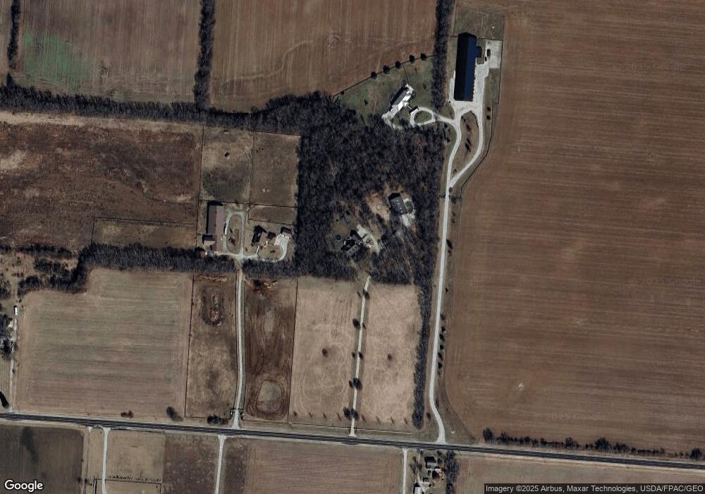
Map
Nearby Homes
- 72 N Childrens Home Rd
- 6570 S Tipp Cowl Rd
- 910 S Alcony-Conover Rd
- 910 S Alcony Conover Rd
- 12 N Main St
- 107 N Main St
- 2386 Lefevre Rd
- 1947 Woodcliffe Dr
- 5315 E State Route 571
- 12490 Stafford Rd
- 0 Crane Rd
- 5782 N Addison New Carlisle Rd
- 1002 Stonyridge Ave
- 429 Forrest Ln
- 1760 Hunters Ridge Dr
- 230 Floral Ave
- 1500 Paradise Trail
- 1102 E Franklin St
- 1125 Scott St
- 1329 Lee Rd
- 5370 E State Route 41
- 5467 E State Route 41
- 5450 E State Route 41
- 5323 E State Route 41
- 5306 E State Route 41
- 5306 Sr 41 E
- 5130 E State Route 41
- 5145 E State Route 41
- 5246 E State Route 41
- 935 S Hufford Rd
- 1100 S Hufford Rd
- 4946 E State Route 41
- 1205 S Hufford Rd
- 1166 S Hufford Rd
- 5809 E State Route 41
- 509 S Hufford Rd
- 1375 S Hufford Rd
- 1505 S Hufford Rd
- 1480 S Hufford Rd
- 4720 E State Route 41