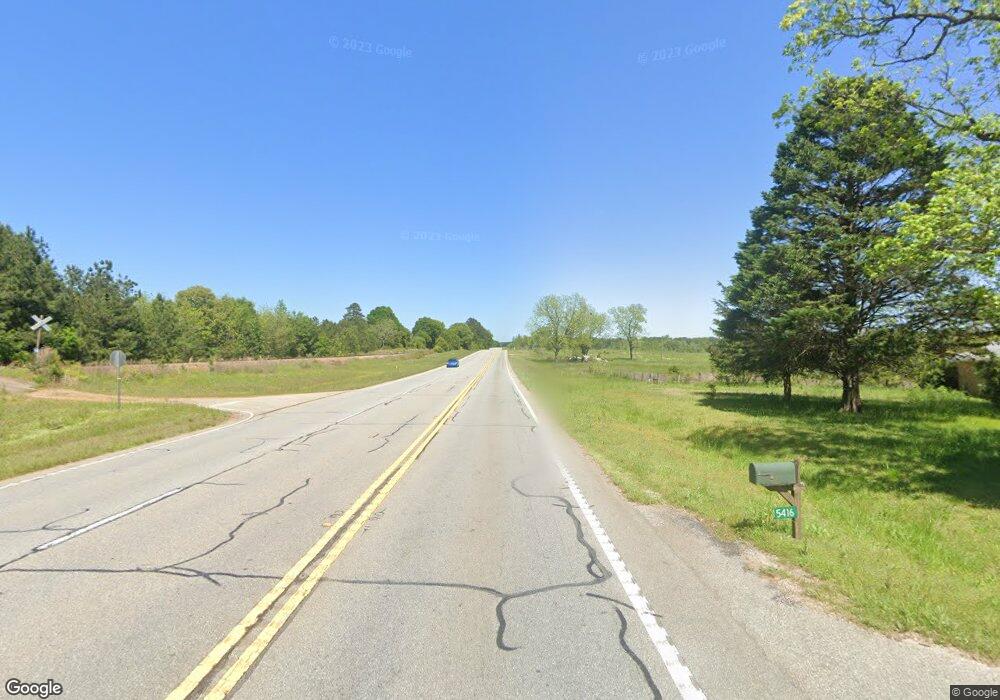
5416 Barnesville Hwy the Rock, GA 30285
Estimated Value: $218,000
2
Beds
2
Baths
2,763
Sq Ft
$79/Sq Ft
Est. Value
About This Home
This home is located at 5416 Barnesville Hwy, the Rock, GA 30285 and is currently priced at $218,000, approximately $78 per square foot. 5416 Barnesville Hwy is a home located in Upson County with nearby schools including Upson-Lee South Elementary School, Upson-Lee North Elementary School, and Upson-Lee Middle School.
Ownership History
Date
Name
Owned For
Owner Type
Purchase Details
Closed on
Jan 29, 2021
Sold by
Nash Anna Kathleen
Bought by
Moore Anita
Current Estimated Value
Home Financials for this Owner
Home Financials are based on the most recent Mortgage that was taken out on this home.
Original Mortgage
$147,250
Outstanding Balance
$131,470
Interest Rate
2.6%
Mortgage Type
New Conventional
Purchase Details
Closed on
May 6, 2020
Sold by
Nash Karen Laverne B
Bought by
Nash Anna Kathlen
Purchase Details
Closed on
May 4, 2020
Sold by
Nash Clifford W
Bought by
Nash Anna Kathleen
Purchase Details
Closed on
Jul 15, 2019
Sold by
Executor Douglas Cynthia Nash
Bought by
Nash Clifford Wayne and Nash Karen Laverne
Purchase Details
Closed on
Apr 30, 2019
Sold by
Nash Robert Lee
Bought by
Moore Porter Shannon
Create a Home Valuation Report for This Property
The Home Valuation Report is an in-depth analysis detailing your home's value as well as a comparison with similar homes in the area
Home Values in the Area
Average Home Value in this Area
Purchase History
| Date | Buyer | Sale Price | Title Company |
|---|---|---|---|
| Moore Anita | $155,000 | -- | |
| Nash Anna Kathlen | -- | -- | |
| Nash Anna Kathleen | -- | -- | |
| Nash Clifford Wayne | -- | -- | |
| Moore Porter Shannon | -- | -- | |
| Moore Porter Shannon | $56,700 | -- |
Source: Public Records
Mortgage History
| Date | Status | Borrower | Loan Amount |
|---|---|---|---|
| Open | Moore Anita | $147,250 |
Source: Public Records
Tax History Compared to Growth
Tax History
| Year | Tax Paid | Tax Assessment Tax Assessment Total Assessment is a certain percentage of the fair market value that is determined by local assessors to be the total taxable value of land and additions on the property. | Land | Improvement |
|---|---|---|---|---|
| 2024 | $1,942 | $78,002 | $8,000 | $70,002 |
| 2023 | $1,917 | $74,973 | $8,000 | $66,973 |
| 2022 | $1,444 | $54,078 | $3,924 | $50,154 |
| 2021 | $884 | $33,552 | $3,924 | $29,628 |
| 2020 | $882 | $31,277 | $3,449 | $27,828 |
| 2019 | $836 | $35,226 | $14,649 | $20,577 |
| 2018 | $971 | $38,898 | $13,612 | $25,286 |
| 2017 | $966 | $36,073 | $13,612 | $22,461 |
| 2016 | $938 | $34,924 | $13,254 | $21,670 |
| 2015 | $935 | $34,924 | $1,790 | $21,670 |
| 2014 | $582 | $31,974 | $1,058 | $21,171 |
Source: Public Records
Map
Nearby Homes
- 61 ACRES Barnesville Hwy
- 2222 Barnesville Hwy
- 1972 Rest Haven Rd
- 832 Jackson Dr
- 2200 Rest Haven Rd
- 0 Rest Haven Rd Unit 10652109
- 98 Mud Bridge Rd
- 28 Mud Bridge Rd
- 1207 Highway 36 W
- 1031 the Rock Rd
- Race Track Rd
- 249 Ponderosa Ln
- 0 Barnesville Hwy Unit 10548523
- 3682 Barnesville Hwy
- 1518 the Rock Rd
- 235 Rocky Branch Rd
- 3487 Yatesville Hwy
- 1570 the Rock Rd
- 0 Technology Pkwy Unit 30119
- 0 Technology Pkwy Unit 21917
- 5416 Barnesville Hwy Unit 32/10
- 5416 Highway 36
- 502 Fambro Rd
- 960 Fambro Rd
- 388 Fambro Rd
- 5350 Highway 36
- 5500 Highway 36
- 387 Fambro Rd
- NA Barnesville Hwy
- 95 Peacock Rd
- 5284 Highway 36
- 221 Fambro Rd
- 4.65 ac Barnesville Hwy
- 38.924 acres Barnesville Hwy
- 41.66 acres Barnesville Hwy
- 189 Fambro Rd
- 231 Fambro Rd
- 155 Peacock Rd
- 231 Peacock Rd
- 5818 Barnesville Hwy
