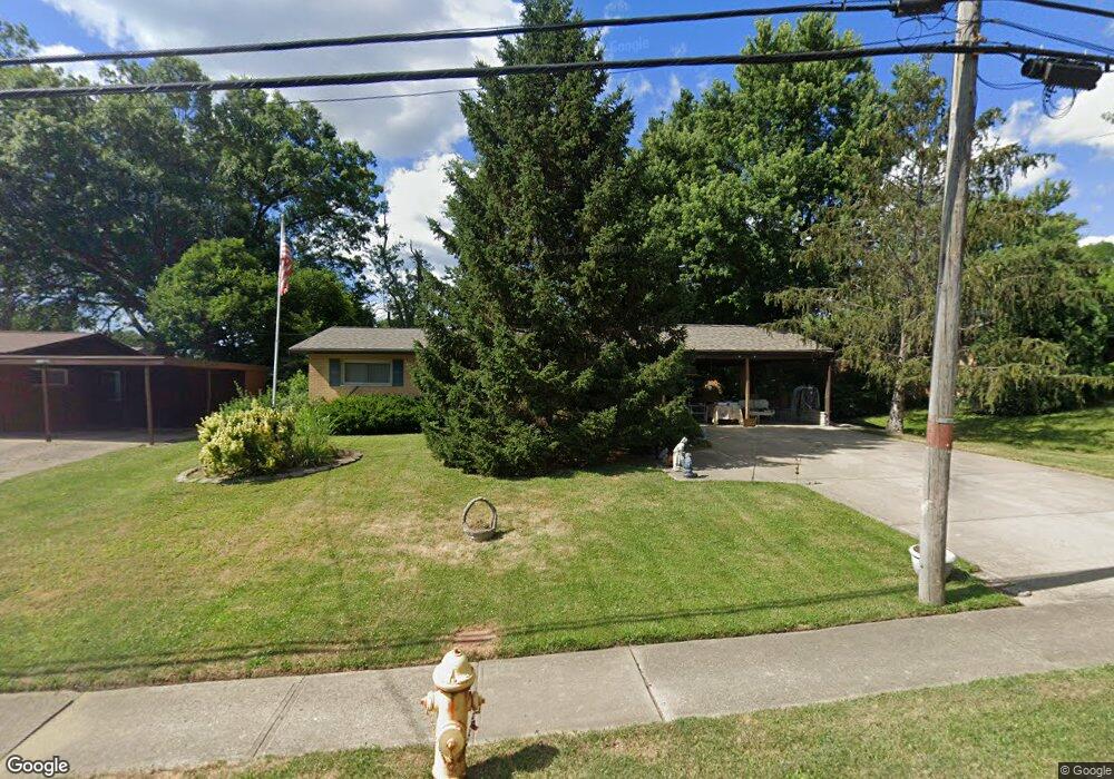
5416 Sidney Rd Cincinnati, OH 45238
Estimated Value: $208,000 - $236,000
3
Beds
3
Baths
1,328
Sq Ft
$167/Sq Ft
Est. Value
About This Home
This home is located at 5416 Sidney Rd, Cincinnati, OH 45238 and is currently estimated at $222,120, approximately $167 per square foot. 5416 Sidney Rd is a home located in Hamilton County with nearby schools including Covedale School, Gilbert A. Dater High School, and Western Hills High School.
Ownership History
Date
Name
Owned For
Owner Type
Purchase Details
Closed on
Apr 22, 1998
Sold by
Kleeman Anthony J and Kleeman Anthony J
Bought by
Emmons Marjorie E
Current Estimated Value
Home Financials for this Owner
Home Financials are based on the most recent Mortgage that was taken out on this home.
Original Mortgage
$61,600
Outstanding Balance
$9,755
Interest Rate
6.5%
Estimated Equity
$212,365
Create a Home Valuation Report for This Property
The Home Valuation Report is an in-depth analysis detailing your home's value as well as a comparison with similar homes in the area
Home Values in the Area
Average Home Value in this Area
Purchase History
| Date | Buyer | Sale Price | Title Company |
|---|---|---|---|
| Emmons Marjorie E | $77,000 | Cambridge Land Title Agency |
Source: Public Records
Mortgage History
| Date | Status | Borrower | Loan Amount |
|---|---|---|---|
| Open | Emmons Marjorie E | $61,600 |
Source: Public Records
Tax History
| Year | Tax Paid | Tax Assessment Tax Assessment Total Assessment is a certain percentage of the fair market value that is determined by local assessors to be the total taxable value of land and additions on the property. | Land | Improvement |
|---|---|---|---|---|
| 2025 | $2,767 | $55,868 | $15,152 | $40,716 |
| 2024 | $2,697 | $55,868 | $15,152 | $40,716 |
| 2023 | $2,800 | $55,868 | $15,152 | $40,716 |
| 2022 | $1,719 | $32,677 | $12,121 | $20,556 |
| 2021 | $1,549 | $32,677 | $12,121 | $20,556 |
| 2020 | $1,586 | $32,677 | $12,121 | $20,556 |
| 2019 | $1,501 | $29,176 | $10,822 | $18,354 |
| 2018 | $1,505 | $29,176 | $10,822 | $18,354 |
| 2017 | $1,430 | $29,176 | $10,822 | $18,354 |
| 2016 | $1,573 | $30,906 | $11,134 | $19,772 |
| 2015 | $1,424 | $30,906 | $11,134 | $19,772 |
| 2014 | $1,435 | $30,906 | $11,134 | $19,772 |
| 2013 | $1,411 | $31,217 | $11,246 | $19,971 |
Source: Public Records
Map
Nearby Homes
- 5352 Laured Place
- 5461 Bellfield Ln
- 5524 Sidney Rd
- 2156 Townhill Dr
- 2195 Woodmere Ct
- 5600 Antoninus Dr
- 1650 Colonial Dr
- 5487 Belcross Ct
- 3373 Kathy Ln
- 5433 Cleves Warsaw Pike
- 5311 Rawhide Ct
- 2710 Carroll Ave
- 2530 Falconbridge Dr
- 5355 Cleander Dr
- 1157 Beechmeadow Ln
- 5183 Cleves Warsaw Pike
- 5132 Ralph Ave
- 3004 Glenmore Ave
- 3141 W Tower Ave
- 5749 Beech Grove Ln
- 5408 Sidney Rd
- 5420 Sidney Rd
- 5409 Fayridge Ct
- 5417 Fayridge Ct
- 5404 Sidney Rd
- 5424 Sidney Rd
- 1980 Faycrest Dr
- 1984 Faycrest Dr
- 5405 Fayridge Ct
- 5417 Sidney Rd
- 5409 Sidney Rd
- 1974 Faycrest Dr
- 5421 Fayridge Ct
- 5400 Sidney Rd
- 5423 Sidney Rd
- 5428 Sidney Rd
- 5400 Fayridge Ct
- 5403 Sidney Rd
- 1968 Faycrest Dr
- 5394 Sidney Rd
Your Personal Tour Guide
Ask me questions while you tour the home.