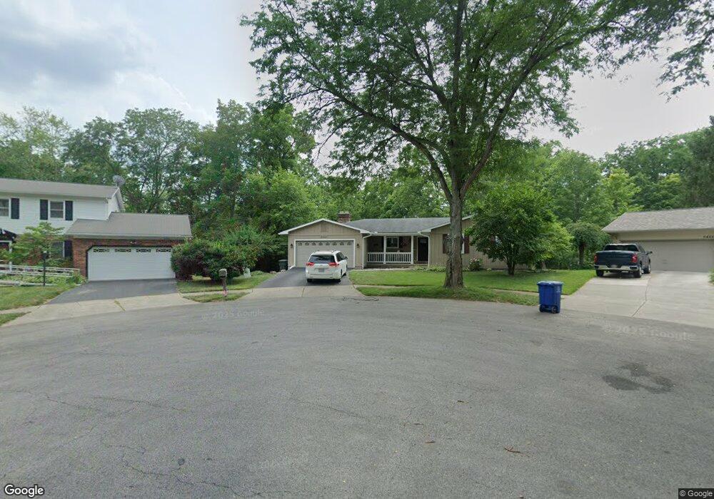
5417 Millington Rd Columbus, OH 43235
The Gables NeighborhoodEstimated Value: $420,000 - $467,000
5
Beds
3
Baths
2,005
Sq Ft
$223/Sq Ft
Est. Value
About This Home
This home is located at 5417 Millington Rd, Columbus, OH 43235 and is currently estimated at $447,716, approximately $223 per square foot. 5417 Millington Rd is a home located in Franklin County with nearby schools including Gables Elementary School, Ridgeview Middle School, and Centennial High School.
Ownership History
Date
Name
Owned For
Owner Type
Purchase Details
Closed on
Jan 30, 2020
Sold by
Brothers Kimberly A
Bought by
Brothers Kimberly Ann and Revocable Living Trust Of Kimb
Current Estimated Value
Purchase Details
Closed on
Apr 6, 2016
Sold by
Brothers John A
Bought by
Brothers Kimberly A
Purchase Details
Closed on
Oct 2, 1995
Sold by
Borromeo Antonio B
Bought by
Brother John A and Brother Valerie J
Home Financials for this Owner
Home Financials are based on the most recent Mortgage that was taken out on this home.
Original Mortgage
$144,000
Interest Rate
8%
Mortgage Type
New Conventional
Create a Home Valuation Report for This Property
The Home Valuation Report is an in-depth analysis detailing your home's value as well as a comparison with similar homes in the area
Home Values in the Area
Average Home Value in this Area
Purchase History
| Date | Buyer | Sale Price | Title Company |
|---|---|---|---|
| Brothers Kimberly Ann | -- | None Available | |
| Brothers Kimberly A | -- | None Available | |
| Brother John A | $180,000 | -- |
Source: Public Records
Mortgage History
| Date | Status | Borrower | Loan Amount |
|---|---|---|---|
| Previous Owner | Brother John A | $144,000 |
Source: Public Records
Tax History Compared to Growth
Tax History
| Year | Tax Paid | Tax Assessment Tax Assessment Total Assessment is a certain percentage of the fair market value that is determined by local assessors to be the total taxable value of land and additions on the property. | Land | Improvement |
|---|---|---|---|---|
| 2024 | $6,056 | $134,930 | $53,900 | $81,030 |
| 2023 | $5,978 | $134,930 | $53,900 | $81,030 |
| 2022 | $6,236 | $120,230 | $30,590 | $89,640 |
| 2021 | $6,247 | $120,230 | $30,590 | $89,640 |
| 2020 | $6,255 | $120,230 | $30,590 | $89,640 |
| 2019 | $5,890 | $97,100 | $24,470 | $72,630 |
| 2018 | $5,667 | $97,100 | $24,470 | $72,630 |
| 2017 | $5,887 | $97,100 | $24,470 | $72,630 |
| 2016 | $6,010 | $90,730 | $18,800 | $71,930 |
| 2015 | $5,456 | $90,730 | $18,800 | $71,930 |
| 2014 | $5,469 | $90,730 | $18,800 | $71,930 |
| 2013 | $2,569 | $86,380 | $17,885 | $68,495 |
Source: Public Records
Map
Nearby Homes
- 1246 Southport Dr
- 1213 Nantucket Ave
- 5485 Millington Rd
- 5363 Godown Rd
- 1540 Slade Ave Unit 303
- 5016 Postlewaite Rd Unit 5016
- 1161 Bethel Rd Unit 103/104
- 1505 Eastmeadow Place
- 962 Augusta Glen Dr
- 928 Linworth Village Dr
- 1147 Langland Dr
- 895 Linworth Village Dr
- 5773 Middlefield Dr
- 5854 Aqua Bay Dr Unit 5854
- 5111 Portland St
- 5936 Aqua Bay Dr
- 5938 Aqua Bay Dr
- 1558 Denbigh Dr
- 5111 Schuylkill St
- 5881 Rocky Rill Rd
- 5425 Millington Rd
- 1203 Middleport Dr
- 1222 Southport Dr
- 1234 Southport Dr
- 5431 Millington Rd
- 1187 Middleport Dr
- 1218 Southport Dr
- 1266 Southport Cir
- 5434 Millington Rd
- 5441 Millington Rd
- 1179 Middleport Dr
- 1293 Northport Cir
- 1180 Middleport Dr
- 1215 Southport Dr
- 5447 Millington Rd
- 1278 Southport Cir
- 1173 Middleport Dr
- 5440 Millington Rd
- 1168 Rockport Ln
- 1174 Middleport Dr