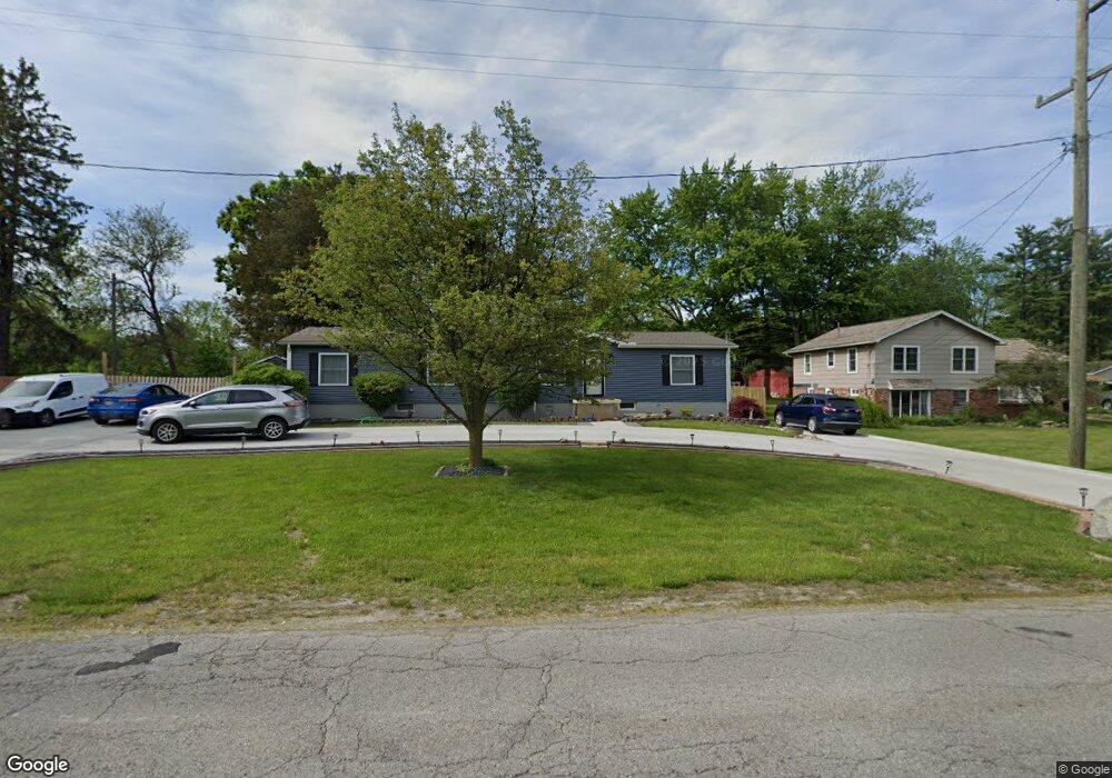
542 Ash St Carleton, MI 48117
Estimated Value: $82,000 - $302,000
Studio
--
Bath
--
Sq Ft
15,246
Sq Ft
About This Home
This home is located at 542 Ash St, Carleton, MI 48117 and is currently estimated at $181,653. 542 Ash St is a home located in Monroe County with nearby schools including Airport Senior High School and Carleton Community Baptist.
Ownership History
Date
Name
Owned For
Owner Type
Purchase Details
Closed on
Oct 9, 2002
Sold by
Clark Dennis
Bought by
Rhoads Randy and Mcewen Mary
Current Estimated Value
Purchase Details
Closed on
Apr 4, 2002
Sold by
Clark Dennis
Bought by
Rhoads Randy and Mcewen Mary
Home Financials for this Owner
Home Financials are based on the most recent Mortgage that was taken out on this home.
Original Mortgage
$158,000
Interest Rate
7.24%
Mortgage Type
New Conventional
Purchase Details
Closed on
Aug 31, 2001
Sold by
Mclaughlin Gordon
Bought by
Clark Dennis
Home Financials for this Owner
Home Financials are based on the most recent Mortgage that was taken out on this home.
Original Mortgage
$131,700
Interest Rate
7.03%
Mortgage Type
New Conventional
Create a Home Valuation Report for This Property
The Home Valuation Report is an in-depth analysis detailing your home's value as well as a comparison with similar homes in the area
Home Values in the Area
Average Home Value in this Area
Purchase History
| Date | Buyer | Sale Price | Title Company |
|---|---|---|---|
| Rhoads Randy | $37,000 | -- | |
| Rhoads Randy | $45,000 | -- | |
| Clark Dennis | $110,000 | -- | |
| Clark Dennis | $110,000 | -- |
Source: Public Records
Mortgage History
| Date | Status | Borrower | Loan Amount |
|---|---|---|---|
| Previous Owner | Rhoads Randy | $158,000 | |
| Previous Owner | Clark Dennis | $131,700 |
Source: Public Records
Tax History
| Year | Tax Paid | Tax Assessment Tax Assessment Total Assessment is a certain percentage of the fair market value that is determined by local assessors to be the total taxable value of land and additions on the property. | Land | Improvement |
|---|---|---|---|---|
| 2025 | $163 | $16,400 | $16,400 | $0 |
| 2024 | $291 | $14,500 | $0 | $0 |
| 2023 | $282 | $19,000 | $0 | $0 |
| 2022 | $650 | $19,000 | $0 | $0 |
| 2021 | $679 | $19,900 | $0 | $0 |
| 2020 | $430 | $14,100 | $0 | $0 |
| 2019 | $423 | $14,100 | $0 | $0 |
| 2018 | $299 | $14,600 | $0 | $0 |
| 2017 | $395 | $14,600 | $0 | $0 |
| 2016 | $441 | $13,500 | $0 | $0 |
| 2015 | $267 | $11,500 | $0 | $0 |
| 2014 | $375 | $11,500 | $0 | $0 |
| 2013 | -- | $12,300 | $0 | $0 |
Source: Public Records
Map
Nearby Homes
- 12751 Jones St
- 12850 Crane St
- 12361 Spencer Ln
- 1405 Cedarcrest Dr
- 12464 Maxwell Rd
- 12259 Eldora St
- 49 James Dr
- 13498 Exeter Rd
- VACANT Oakville Waltz Rd
- 0 Oakville Waltz Rd Unit G50038710
- 28503 Margaret Ln Unit 1
- 0000 Carleton Rockwood Rd
- 1980 Oakville Waltz Rd
- 36505 Bismark Rd
- 28264 Waltz Rd
- 27750 Bell Rd
- 0 Brandes Rd Unit 20250012383
- 1989 Will Carleton Rd
- 27125 Delos Rd
- 26744 Canterbury Cir Unit 4
Your Personal Tour Guide
Ask me questions while you tour the home.