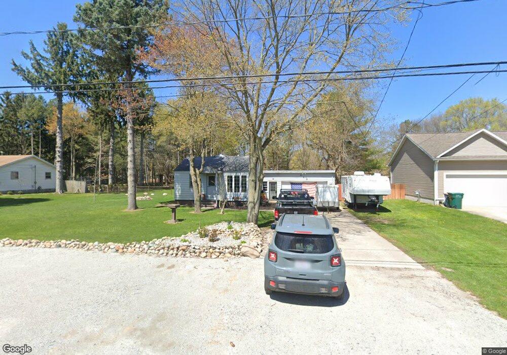
542 Aue Rd Norton Shores, MI 49441
Estimated Value: $201,000 - $240,000
2
Beds
1
Bath
908
Sq Ft
$235/Sq Ft
Est. Value
About This Home
This home is located at 542 Aue Rd, Norton Shores, MI 49441 and is currently estimated at $213,166, approximately $234 per square foot. 542 Aue Rd is a home located in Muskegon County with nearby schools including Mona Shores High School, Edgewood Elementary Academy, and Michigan Dunes Montessori School.
Ownership History
Date
Name
Owned For
Owner Type
Purchase Details
Closed on
Oct 19, 2006
Sold by
Fox Steven A and Fox Jami L
Bought by
Harris Rhonda
Current Estimated Value
Home Financials for this Owner
Home Financials are based on the most recent Mortgage that was taken out on this home.
Original Mortgage
$92,000
Outstanding Balance
$55,019
Interest Rate
6.5%
Mortgage Type
Purchase Money Mortgage
Estimated Equity
$158,147
Purchase Details
Closed on
May 22, 2003
Sold by
Fox Steven A
Bought by
Fox Steven A and Rapes Jarni
Home Financials for this Owner
Home Financials are based on the most recent Mortgage that was taken out on this home.
Original Mortgage
$62,300
Interest Rate
5.9%
Mortgage Type
Purchase Money Mortgage
Create a Home Valuation Report for This Property
The Home Valuation Report is an in-depth analysis detailing your home's value as well as a comparison with similar homes in the area
Home Values in the Area
Average Home Value in this Area
Purchase History
| Date | Buyer | Sale Price | Title Company |
|---|---|---|---|
| Harris Rhonda | -- | Harbor Title | |
| Fox Steven A | -- | Harbor Title |
Source: Public Records
Mortgage History
| Date | Status | Borrower | Loan Amount |
|---|---|---|---|
| Open | Harris Rhonda | $92,000 | |
| Previous Owner | Fox Steven A | $62,300 |
Source: Public Records
Tax History Compared to Growth
Tax History
| Year | Tax Paid | Tax Assessment Tax Assessment Total Assessment is a certain percentage of the fair market value that is determined by local assessors to be the total taxable value of land and additions on the property. | Land | Improvement |
|---|---|---|---|---|
| 2025 | $1,474 | $73,100 | $0 | $0 |
| 2024 | $1,156 | $66,200 | $0 | $0 |
| 2023 | $1,104 | $54,200 | $0 | $0 |
| 2022 | $1,345 | $49,100 | $0 | $0 |
| 2021 | $1,307 | $45,000 | $0 | $0 |
| 2020 | $1,293 | $41,600 | $0 | $0 |
| 2019 | $1,269 | $37,800 | $0 | $0 |
| 2018 | $1,239 | $35,400 | $0 | $0 |
| 2017 | $1,210 | $34,400 | $0 | $0 |
| 2016 | $937 | $33,300 | $0 | $0 |
| 2015 | -- | $32,400 | $0 | $0 |
| 2014 | $1,125 | $31,100 | $0 | $0 |
| 2013 | -- | $29,100 | $0 | $0 |
Source: Public Records
Map
Nearby Homes
- 4655 Henry St
- 740 Bridgeview Bay Dr
- 243 Lake Dr
- 4676 Earl St
- 4666 Heinicke St
- 263 Churchill Dr
- 516 Hendrick Rd
- 5128 Henry St
- 481 Seminole Rd
- 608 Porter Rd
- 3854 Greuling Rd
- 5153 Shady Creek Dr
- 3588 Mona Kai Blvd
- 6 Lakeview Ave
- 18 Lakeview Ave
- 10 Lakeview Ave
- 3625 Kiana Ct Unit 14
- 3631 Kiana Ct Unit 13
- 3637 Kiana Ct Unit 12
- 3643 Kiana Ct Unit 11