542 Beatrice Point Rd Freeport, FL 32439
Estimated Value: $352,000 - $1,035,000
3
Beds
3
Baths
2,346
Sq Ft
$280/Sq Ft
Est. Value
About This Home
This home is located at 542 Beatrice Point Rd, Freeport, FL 32439 and is currently estimated at $657,112, approximately $280 per square foot. 542 Beatrice Point Rd is a home located in Walton County with nearby schools including Freeport Elementary School, Freeport Middle School, and Freeport Senior High School.
Ownership History
Date
Name
Owned For
Owner Type
Purchase Details
Closed on
May 3, 2024
Sold by
Crawley David M and Crawley Jill K
Bought by
Severin Deborah
Current Estimated Value
Home Financials for this Owner
Home Financials are based on the most recent Mortgage that was taken out on this home.
Original Mortgage
$255,000
Outstanding Balance
$148,106
Interest Rate
6.87%
Mortgage Type
New Conventional
Estimated Equity
$509,006
Purchase Details
Closed on
Jun 3, 2010
Sold by
Dunbar Kathy Moody and Grimes Pamela Moody
Bought by
Crawley David M and Crawley Jill K
Create a Home Valuation Report for This Property
The Home Valuation Report is an in-depth analysis detailing your home's value as well as a comparison with similar homes in the area
Home Values in the Area
Average Home Value in this Area
Purchase History
| Date | Buyer | Sale Price | Title Company |
|---|---|---|---|
| Severin Deborah | $340,000 | Mitchell Land & Title | |
| Crawley David M | $75,000 | Attorney |
Source: Public Records
Mortgage History
| Date | Status | Borrower | Loan Amount |
|---|---|---|---|
| Open | Severin Deborah | $255,000 |
Source: Public Records
Tax History Compared to Growth
Tax History
| Year | Tax Paid | Tax Assessment Tax Assessment Total Assessment is a certain percentage of the fair market value that is determined by local assessors to be the total taxable value of land and additions on the property. | Land | Improvement |
|---|---|---|---|---|
| 2024 | $2,650 | $280,906 | -- | -- |
| 2023 | $2,650 | $355,836 | $0 | $0 |
| 2022 | $1,278 | $149,719 | $149,719 | $0 |
| 2021 | $2,746 | $335,410 | $0 | $0 |
| 2020 | $2,794 | $383,315 | $210,586 | $172,729 |
| 2019 | $2,710 | $323,342 | $0 | $0 |
| 2018 | $2,667 | $317,313 | $0 | $0 |
| 2017 | $2,147 | $230,127 | $71,154 | $158,973 |
| 2016 | $486 | $51,907 | $0 | $0 |
| 2015 | $494 | $51,907 | $0 | $0 |
| 2014 | $481 | $51,907 | $0 | $0 |
Source: Public Records
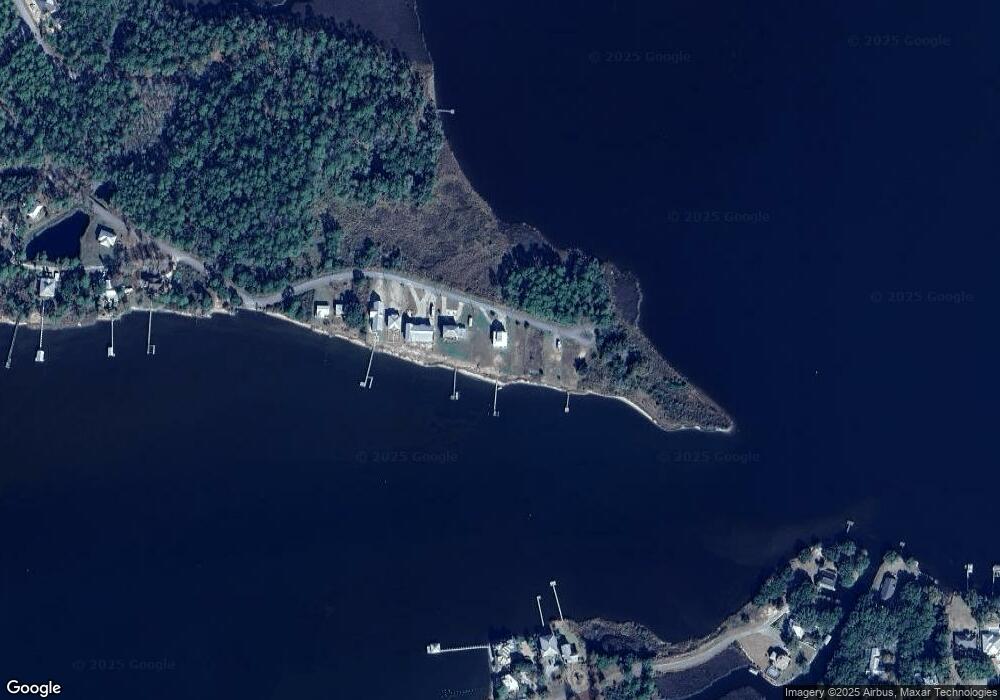
Map
Nearby Homes
- 554 Beatrice Point Rd
- 16 Acres Beatrice Point Rd
- 346 Beatrice Point Rd
- 51 Alden Ln
- Lot 6 & 7 Alden Ln
- 33 Eagle Place
- Lot 18 Bayside Dr
- lot 24 Alden Ln
- 284 Grove Ln
- 245 Island Grove Dr
- 195 Alden Ln
- Lot 29-C Cross Creek Cir
- 0 Island Grove Dr
- Lot 4 Cross Creek Cir
- LOT 23 B Bayside Dr
- 0 County Highway 83a
- Lot 31 Cross Creek Cir
- 101 Bay Breeze Dr
- 65 Island Grove Dr
- LOT 30 Bayside Dr
- 542 Beatrice Point Rd Unit Lot K -Parcel A
- 516 Beatrice Point Rd
- LOT N N Lot Beatrice Point Rd
- 590 Beatrice Point Rd
- 508 Beatrice Point Rd
- LOT M Beatrice Point Rd
- F F Beatrice Point Rd
- LOT F Lot F Beatrice Point Rd
- 486 Beatrice Point Rd
- LOT E E Lot Beatrice Point Rd
- 474 Beatrice Point Rd
- 11 Beatrice Point Rd
- 0 Beatrice Point Rd
- 00 Beatrice Point Rd
- 430 Beatrice Point Rd
- 422 Beatrice Point Rd
- Lot Beatrice Point Rd
- 000 Island Grove Dr
- 279 Grove Ln
- 000 Beatrice Point Rd