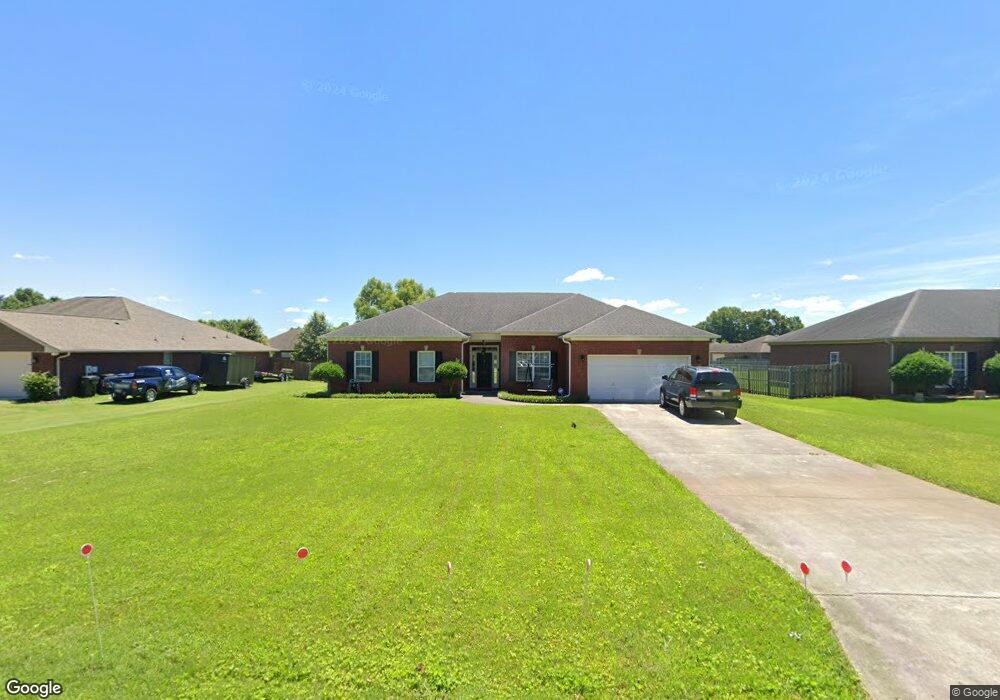
542 Bell Cir Huntsville, AL 35811
Ryland NeighborhoodEstimated Value: $319,000 - $351,000
3
Beds
2
Baths
2,078
Sq Ft
$163/Sq Ft
Est. Value
About This Home
This home is located at 542 Bell Cir, Huntsville, AL 35811 and is currently estimated at $338,375, approximately $162 per square foot. 542 Bell Cir is a home located in Madison County with nearby schools including Mt Carmel Elementary School, Riverton Intermediate School, and Buckhorn Middle School.
Ownership History
Date
Name
Owned For
Owner Type
Purchase Details
Closed on
Jan 27, 2010
Sold by
Branch Banking And Trust Co
Bought by
Mose Daniel
Current Estimated Value
Home Financials for this Owner
Home Financials are based on the most recent Mortgage that was taken out on this home.
Original Mortgage
$158,967
Outstanding Balance
$104,364
Interest Rate
4.87%
Mortgage Type
FHA
Estimated Equity
$234,011
Purchase Details
Closed on
Jan 11, 2006
Sold by
Cdb Llc
Bought by
Colonial Bank Na
Create a Home Valuation Report for This Property
The Home Valuation Report is an in-depth analysis detailing your home's value as well as a comparison with similar homes in the area
Home Values in the Area
Average Home Value in this Area
Purchase History
| Date | Buyer | Sale Price | Title Company |
|---|---|---|---|
| Mose Daniel | -- | -- | |
| Colonial Bank Na | -- | -- |
Source: Public Records
Mortgage History
| Date | Status | Borrower | Loan Amount |
|---|---|---|---|
| Open | Mose Daniel | $158,967 |
Source: Public Records
Tax History Compared to Growth
Tax History
| Year | Tax Paid | Tax Assessment Tax Assessment Total Assessment is a certain percentage of the fair market value that is determined by local assessors to be the total taxable value of land and additions on the property. | Land | Improvement |
|---|---|---|---|---|
| 2024 | $2,105 | $56,860 | $10,000 | $46,860 |
| 2023 | $2,045 | $56,860 | $10,000 | $46,860 |
| 2022 | $1,914 | $53,260 | $10,000 | $43,260 |
| 2021 | $1,595 | $44,180 | $6,000 | $38,180 |
| 2020 | $1,455 | $40,360 | $6,000 | $34,360 |
| 2019 | $1,327 | $36,840 | $6,000 | $30,840 |
| 2018 | $1,270 | $35,280 | $0 | $0 |
| 2017 | $1,069 | $29,780 | $0 | $0 |
| 2016 | $1,069 | $29,780 | $0 | $0 |
| 2015 | $416 | $14,900 | $0 | $0 |
| 2014 | $430 | $15,380 | $0 | $0 |
Source: Public Records
Map
Nearby Homes
- 108 Brookes Landing Dr
- 204 Paca Ln
- 228 Exeter St
- 232 Exeter St
- 300 Pond Spring Dr
- 301 Pond Spring Dr
- 303 Pond Spring Dr
- 230 Exeter St
- 107 Genesis Dr
- 107 Eden Ln
- 117 Genesis Dr
- 86+ Acres Jordan Rd
- 206 Antler Ridge Dr
- 232 Antler Ridge Dr
- 109 Oldwood Rd
- 115 Somer Creek Ln
- 213 Somer Bridge Dr
- 106 Shields Lake Dr
- 2387 Highway 72 E
- 111 Lo Ann Ln
- 534 Bell Cir
- 104 Brookslanding Dr
- 526 Bell Cir
- 106 Brookslanding Dr
- 102 Brookslanding Dr
- 558 Bell Cir
- 1662 Jordan Rd
- 543 Bell Cir
- 1648 Jordan Rd
- 537 Bell Cir
- 108 Brookslanding Dr
- 100 Brookslanding Dr
- 510 Bell Cir
- 105 Brookslanding Dr
- 110 Brookslanding Dr
- 523 Bell Cir
- 100 Cedar Court Ln
- 101 Cedar Court Ln
- 103 Brookslanding Dr
- 1626 Jordan Rd