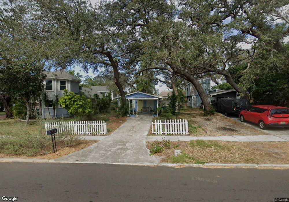
542 Beltrees St Dunedin, FL 34698
Estimated Value: $277,040 - $323,000
2
Beds
1
Bath
637
Sq Ft
$474/Sq Ft
Est. Value
About This Home
This home is located at 542 Beltrees St, Dunedin, FL 34698 and is currently estimated at $301,760, approximately $473 per square foot. 542 Beltrees St is a home located in Pinellas County with nearby schools including San Jose Elementary School, Dunedin Highland Middle School, and Dunedin High School.
Ownership History
Date
Name
Owned For
Owner Type
Purchase Details
Closed on
Dec 11, 2014
Sold by
Sloan George En and Sloan Betty Major
Bought by
Miller Margaret Peggy
Current Estimated Value
Purchase Details
Closed on
Nov 19, 2004
Sold by
Moloney Thomas J
Bought by
Sloan George E and Sloan Betty Majors
Home Financials for this Owner
Home Financials are based on the most recent Mortgage that was taken out on this home.
Original Mortgage
$64,800
Interest Rate
5.66%
Mortgage Type
Purchase Money Mortgage
Create a Home Valuation Report for This Property
The Home Valuation Report is an in-depth analysis detailing your home's value as well as a comparison with similar homes in the area
Home Values in the Area
Average Home Value in this Area
Purchase History
| Date | Buyer | Sale Price | Title Company |
|---|---|---|---|
| Miller Margaret Peggy | $107,500 | Century Title Closing & Escr | |
| Sloan George E | $81,000 | Surety Title Svcs Of Fl Inc |
Source: Public Records
Mortgage History
| Date | Status | Borrower | Loan Amount |
|---|---|---|---|
| Previous Owner | Sloan George E | $64,800 |
Source: Public Records
Tax History Compared to Growth
Tax History
| Year | Tax Paid | Tax Assessment Tax Assessment Total Assessment is a certain percentage of the fair market value that is determined by local assessors to be the total taxable value of land and additions on the property. | Land | Improvement |
|---|---|---|---|---|
| 2024 | $796 | $101,299 | -- | -- |
| 2023 | $796 | $98,349 | $0 | $0 |
| 2022 | $763 | $95,484 | $0 | $0 |
| 2021 | $772 | $92,703 | $0 | $0 |
| 2020 | $767 | $91,423 | $0 | $0 |
| 2019 | $910 | $89,368 | $0 | $0 |
| 2018 | $888 | $87,702 | $0 | $0 |
| 2017 | $871 | $85,898 | $0 | $0 |
| 2016 | $855 | $84,131 | $0 | $0 |
| 2015 | $1,580 | $78,405 | $0 | $0 |
| 2014 | $1,384 | $94,772 | $0 | $0 |
Source: Public Records
Map
Nearby Homes
- 549 Locklie St
- 411 Locklie St
- 456 Chicago Ave
- 611 Lyndhurst St
- 637 Beltrees St
- 361 Colonial Ct
- 510 Douglas Place
- 554 Louden Ave
- 612 Magnolia St
- 702 Lyndhurst St Unit 802
- 525 Broadway
- 704 Lyndhurst St Unit 624
- 400 Broadway
- 718 Lyndhurst St Unit 924
- 700 Lyndhurst St Unit 1024
- 320 Broadway
- 266 Lyndhurst St
- 474 Glencairn Cir
- 500 New York Ave Unit 22
- 500 New York Ave Unit 21
- 546 Beltrees St
- 540 Beltrees St
- 550 Beltrees St
- 541 Locklie St
- 415 Louden Ave
- 554 Beltrees St
- 530 Beltrees St
- 412 Louden Ave
- 558 Beltrees St
- 559 Locklie St
- 434 Milwaukee Ave
- 525 Locklie St
- 518 Beltrees St
- 548 Locklie St
- 517 Locklie St
- 428 Milwaukee Ave
- 514 Beltrees St
- 530 Locklie St
- 424 Milwaukee Ave
- 401 Milwaukee Ave