542 Byrd Rd Riverside, IL 60546
Estimated Value: $468,952 - $529,000
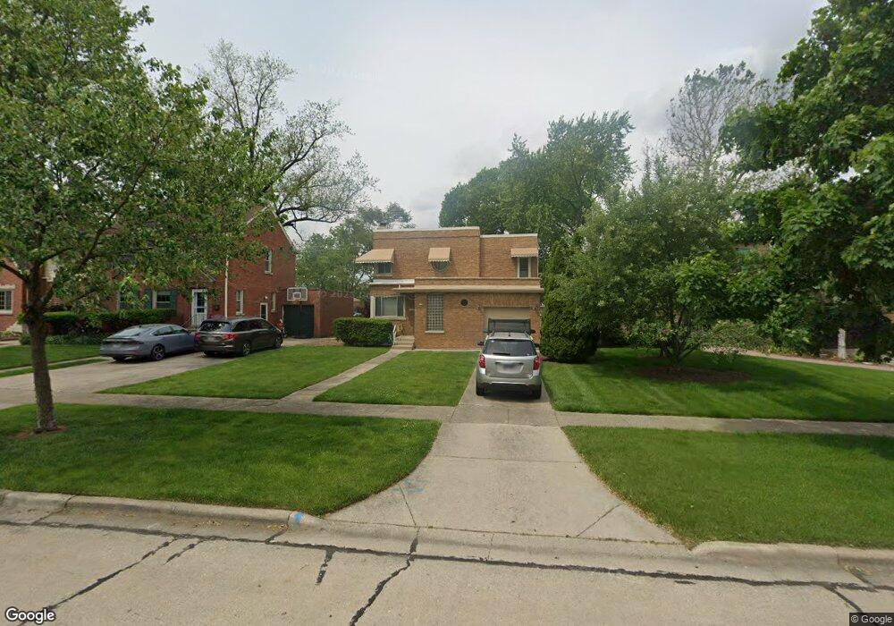
About This Home
This home is located at 542 Byrd Rd, Riverside, IL 60546 and is currently estimated at $488,738, approximately $318 per square foot. 542 Byrd Rd is a home located in Cook County with nearby schools including Blythe Park Elementary School, L J Hauser Jr High School, and Riverside Brookfield High School.
Ownership History
We collect this data history from publicly available records. To have your information removed, we recommend requesting removal directly through your county’s website.
Purchase Details
Purchase Details
Home Values in the Area
Average Home Value in this Area
Purchase History
We collect this data history from publicly available records. To have your information removed, we recommend requesting removal directly through your county’s website.
| Date | Buyer | Sale Price | Title Company |
|---|---|---|---|
| -- | None Available | ||
| -- | -- |
Tax History
We collect this data history from publicly available records. To have your information removed, we recommend requesting removal directly through your county’s website.
| Year | Tax Paid | Tax Assessment Tax Assessment Total Assessment is a certain percentage of the fair market value that is determined by local assessors to be the total taxable value of land and additions on the property. | Land | Improvement |
|---|---|---|---|---|
| 2025 | $3,035 | $38,625 | $7,500 | $31,125 |
| 2024 | $3,035 | $38,625 | $7,500 | $31,125 |
| 2023 | $4,121 | $38,625 | $7,500 | $31,125 |
| 2022 | $4,121 | $32,212 | $6,563 | $25,649 |
| 2021 | $3,507 | $34,941 | $6,562 | $28,379 |
| 2020 | $3,160 | $37,012 | $6,562 | $30,450 |
| 2019 | $3,454 | $29,010 | $6,000 | $23,010 |
| 2018 | $3,358 | $29,010 | $6,000 | $23,010 |
| 2017 | $3,192 | $31,955 | $6,000 | $25,955 |
| 2016 | $4,349 | $25,652 | $5,250 | $20,402 |
| 2015 | $4,463 | $26,557 | $5,250 | $21,307 |
| 2014 | $4,296 | $29,503 | $5,250 | $24,253 |
| 2013 | $4,056 | $25,750 | $5,250 | $20,500 |
Map
- 731 Selborne Rd
- 7047 26th Pkwy
- 461 Uvedale Rd
- 2841 Wenonah Ave
- 7023 29th Place
- 234 Southcote Rd
- 3032 Wisconsin Ave
- 475 Shenstone Rd Unit 304
- 389 Addison Rd
- 3100 Clinton Ave
- 6938 Riverside Dr
- 6901 31st St
- 6840 30th St
- 2356 Lathrop Ave
- 126 Northgate Rd
- 410 Repton Rd
- 3224 Home Ave
- 2524 Oak Park Ave
- 2722 Euclid Ave
- 3005 Oak Park Ave
- 526 Byrd Rd
- 518 Byrd Rd
- 500 Byrd Rd
- 534 Byrd Rd
- 498 Longcommon Rd
- 632 Selborne Rd
- 636 Selborne Rd
- 538 Byrd Rd
- 490 Longcommon Rd
- 505 Berkeley Rd
- 518 Longcommon Rd
- 640 Selborne Rd
- 591 E Parkway Rd
- 616 Selborne Rd
- 484 Longcommon Rd
- 624 Selborne Rd
- 628 Selborne Rd
- 522 Longcommon Rd
- 482 Longcommon Rd
- 587 E Parkway Rd
Ask me questions while you tour the home.